
Arc'teryx Vancouver Interactive Topographic Wall
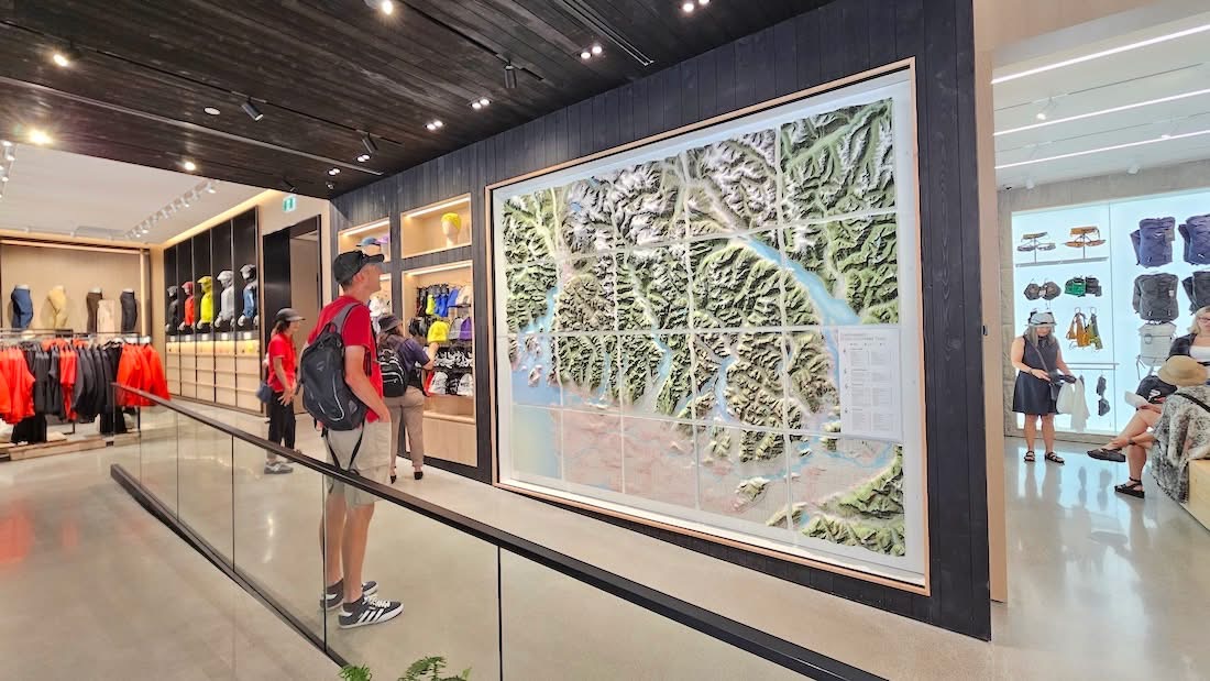
WhiteClouds built a raised-relief map more than 11 feet wide and 9 feet tall for the Arc'teryx Vancouver flagship, with push-button LED markers for selected hiking trails.
- Location
- Arc'teryx Vancouver flagship
- Region Shown
- Southwestern British Columbia
- Size
- More than 11 ft wide x 9 ft tall
- Interaction
- Push-button LED trail markers
This wall-scale topographical map occupies a recessed section of the Arc'teryx flagship in downtown Vancouver. WhiteClouds translated Southwestern British Columbia into raised relief, then incorporated illuminated trail markers that visitors can activate from a push-button control panel.
A regional map fitted to the retail wall
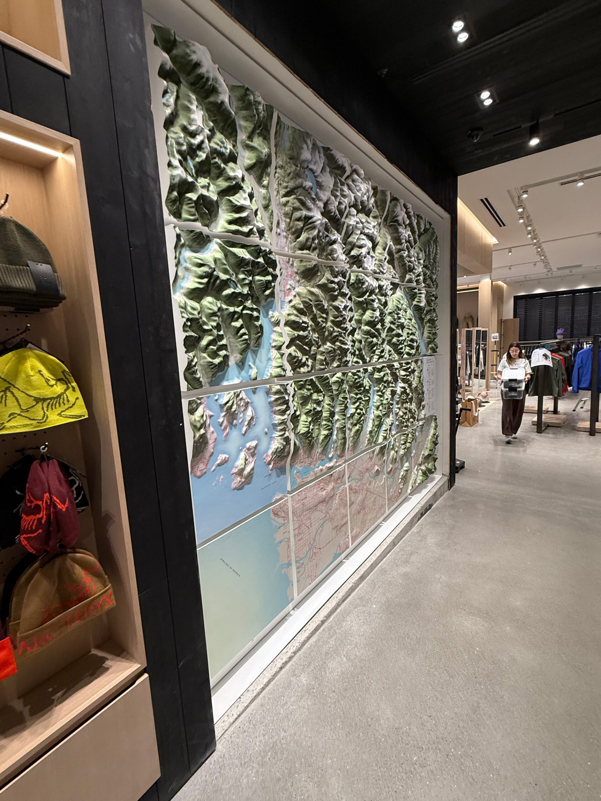
At more than 11 feet wide and 9 feet tall, the installation presents coast, valleys, and mountain terrain across a continuous wall field. The light-toned relief sits within a dark perimeter, making the modeled elevation readable from the store aisle.
The map fills its recessed wall location at a substantial scale beside visitors and the surrounding retail fixtures.
Trail locations connected to individual controls
LED markers correspond to selected hiking trails across the raised terrain.
Visitors use a push-button control panel to illuminate individual locations on the map.
Coordinating geography, lighting, and wall conditions
A similar installation starts with the geographic extent, elevation data, named locations, marker logic, control behavior, overall wall opening, and intended viewing distance. The map and interface need to be specified together.
Power access, service access, mounting conditions, surrounding finishes, delivery route, installation schedule, and destination are equally important when the map becomes part of an interior wall.
Planning an interactive topographical wall?
Send the geographic boundary, terrain data, marker locations, control requirements, wall dimensions, power and service conditions, destination, and schedule.