
10 Raised Relief Map Ideas for Custom 3D Maps
A raised relief map gives a place a physical form that can be read from across a room and studied close to the surface. A useful design begins with the boundary being modeled, the people who will use the display, and the decisions the terrain should help them understand.
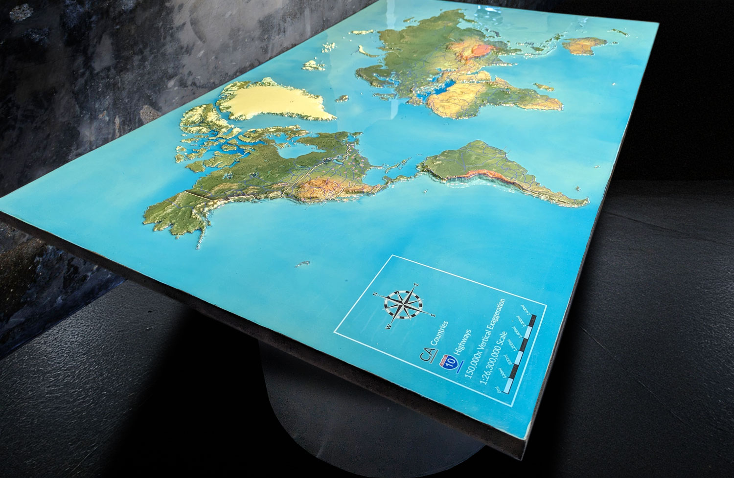
Define the map before you define the model
A custom map might cover a park, resort, watershed, campus, property, island, mountain range, or regional boundary. Decide what the model needs to communicate: orientation, interpretation, planning, education, destination presentation, or a permanent display. That decision controls the geographic extent, scale, labels, color system, and amount of terrain detail.
10 raised-relief map directions to consider
- A visitor map with trails, waterways, and named landmarks
- A resort map organized around terrain, routes, buildings, and guest orientation
- A watershed display that follows connected drainage and tributaries
- A campus or property model showing buildings, roads, and open space
- A park map with interpretive labels and a clear visitor path
- A regional wall display for a lobby, office, hotel, or public space
- An island or coastal model that gives shorelines and elevation a physical edge
- A mountain-range study with a restrained color palette and readable relief
- A map with lights, markers, or controls where interaction is part of the brief
- A destination model designed for repeatable retail or visitor-center presentation
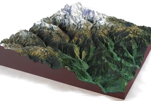
Decide which details deserve emphasis
Relief, labels, roads, trails, boundaries, buildings, and water all compete for attention. Decide which features must remain legible at the primary viewing distance and which can stay quiet. Share the geographic boundary, source data, desired scale, orientation, and the details that cannot be lost before the surface treatment is chosen.
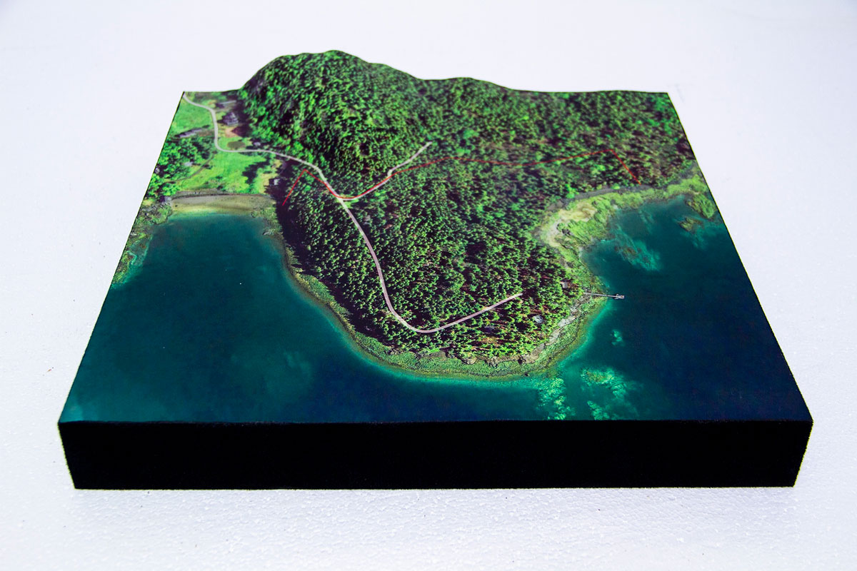
Fit the model to the way people will use it
Wall-mounted, tabletop, pedestal, cabinet, and rolling formats change how a visitor approaches a map. Plan the primary viewing side, walking clearance, lighting, protective cover, access, shipping route, and whether the display must move. WhiteClouds' custom 3D map service can turn those choices into a practical fabrication brief.
Prepare a useful map brief
- The geographic boundary or named place
- Available GIS, contour, satellite, or reference data
- Overall dimensions and preferred orientation
- Labels, roads, trails, rivers, buildings, and boundaries to show
- Display format, viewing distance, and audience
- Lighting, controls, removable markers, or other interactive needs
- Access, delivery location, schedule, and installation expectations
Compare custom 3D map examples
Review the 3D topographical model gallery for examples of raised terrain, regional displays, and destination-focused models. The examples are useful for comparing relief, label density, color, and display format before a specific place is scoped.
Start a raised-relief map project
Share the place, purpose, approximate size, display setting, and the data or reference material available. WhiteClouds can help define a workable starting scope for a custom 3D map.
Related custom 3D map resources
Browse WhiteClouds custom topographical models and completed 3D map projects for ideas about terrain, scale, and display.
Custom 3D Map Quote
Share the size, placement, finish, timing, and reference files available for your project.