
Bellows Falls Ski Tow Map for a Community Recreation Hill
A Bellows Falls Ski Tow map is a compact community-site problem rather than a major-resort map in miniature. The physical display can center the winter hill and tow while showing only enough of the surrounding recreation property to help residents understand access, activity areas, and the slope's place within the site.
Plan a Bellows Falls Map
Keep the winter hill legible inside a multi-use site
A whole-property map can quickly make a small slope and tow too small to read. Start by deciding what a visitor must find: the winter hill itself, the tow alignment, an approach route, a building, or the relationship among several recreation areas. Expand the boundary only when those added features serve the map's purpose.
Because the Town describes the tow as weather permitting, operational status should not be molded into the terrain. A separate sign, insert, or changeable marker can carry temporary information while the physical landform remains useful.
The map edge deserves its own review because a compact community hill can disappear when too much surrounding land is included. A close boundary favors the slope and tow; a wider boundary can explain arrival and neighboring recreation features. The chosen extent should answer the intended visitor question while preserving enough room for readable labels. A tabletop presentation may favor an overhead orientation, while a wall near the entrance may work better when rotated toward the visitor's approach.
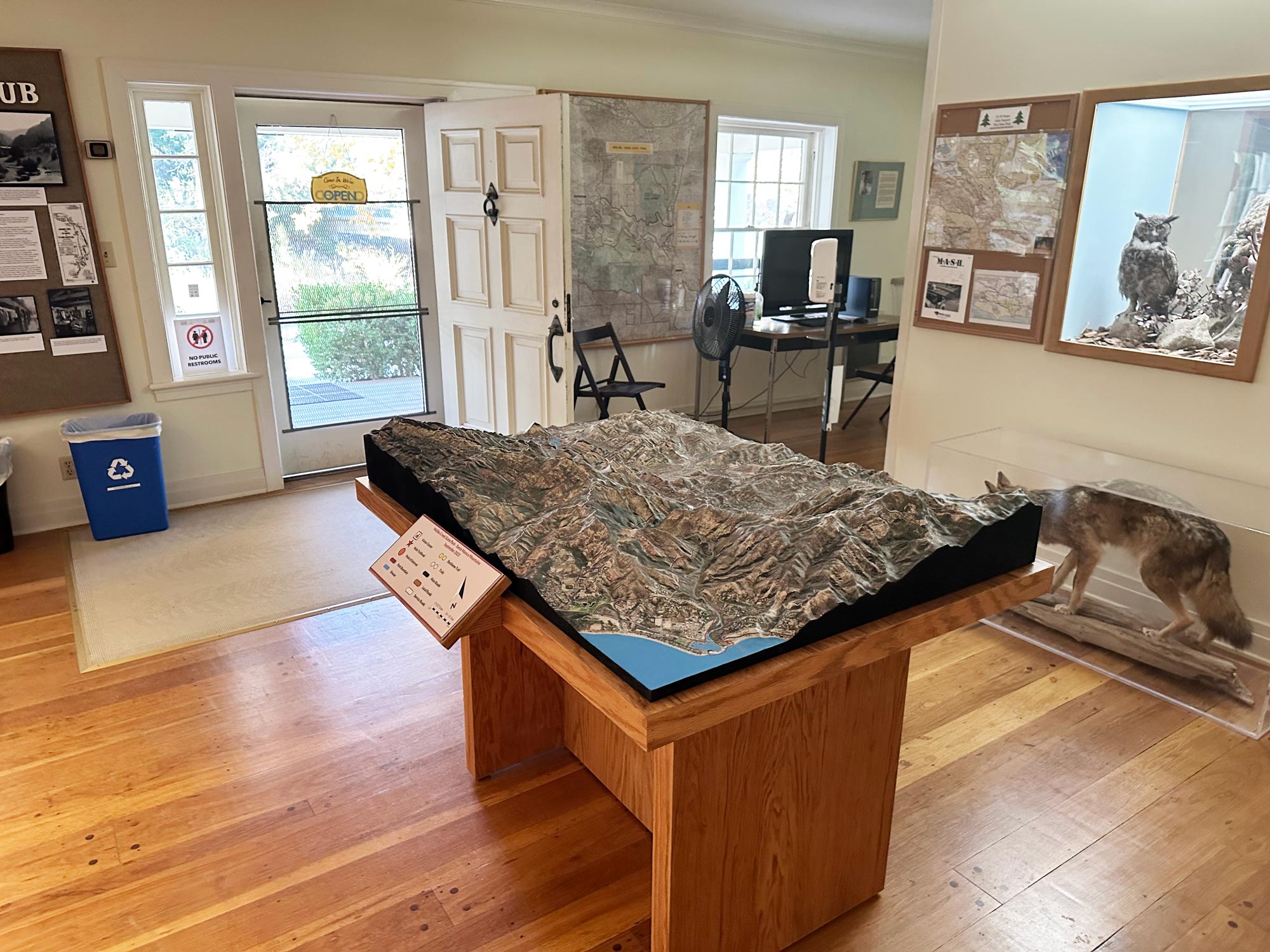
Study a community-scale map from Malibu Creek
The supporting WhiteClouds example depicts Malibu Creek State Park in California in a visitor-center display. It shows how relief, a legend, and local orientation can share one physical map. Its terrain and project history are unrelated to Bellows Falls.
Organize the Bellows Falls map for quick orientation
The design can use a short sequence that works for residents and first-time visitors.
Find the hill
Make the slope form and tow alignment the first readable relationship.
Find the entrance
Show the approach and key access point only at the detail needed for on-site use.
Understand the site
Add other recreation features selectively so they provide context without overtaking the winter subject.
Build the brief from current town records
A short, approved source package can keep a community map accurate and maintainable.
- Current parcel or recreation-center boundary
- Terrain data for the ski-tow slope
- Tow line and any permanent support features
- Building, entrance, access, and parking priorities
- Present-day or historic interpretation goal
- Legend language and accessibility requirements
- Display dimensions, placement, destination, and schedule
Request a Bellows Falls Ski Tow map quote
Provide the current site source, exact boundary, tow and access information, interpretive purpose, required labels, preferred display format, available footprint, destination, and timing.