
Pats Peak 3D Map Across the Main Mountain and Cascade Basin
A Pats Peak physical map must show how the main mountain relates to Cascade Basin without making either area look detached or overcompressed. The terrain boundary, connector routes, lift systems, and night-use information should be planned as coordinated layers rather than copied wholesale from a dense operating map.
Plan a Pats Peak Map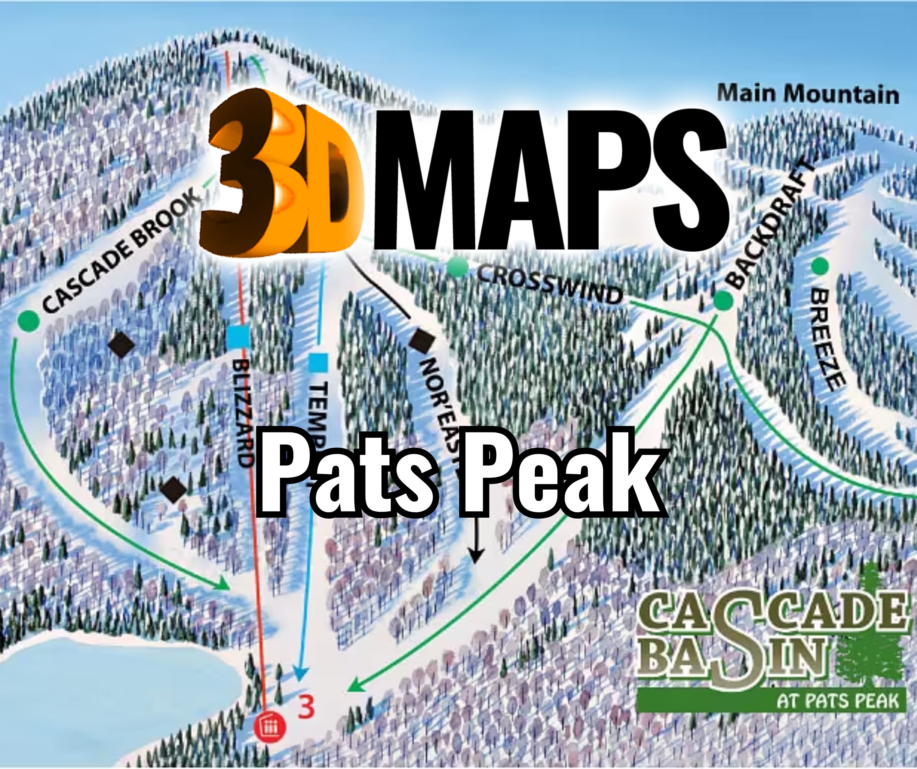
Keep Cascade Basin part of the same mountain story
The main mountain and basin should share a terrain datum, graphic system, and orientation. A visible connector can help viewers understand movement between them, but the basin also needs enough local scale for its trails and chairlift to read. Testing the full map at finished width will reveal whether direct labels or a basin key works better.
Three beginner areas add another cluster of closely spaced information. Those zones can use a consistent symbol rather than long repeated labels, especially near the base.
The basin should not look like a decorative extension after the main terrain has been scaled. Its six trails, two glades, and chairlift need an intentional amount of map area. A proof can compare direct labeling with a keyed basin detail and confirm which option stays readable without breaking the mountain-wide orientation.
See a Winter Park terrain display in Colorado
The supporting WhiteClouds photograph shows a wall map of the Winter Park Resort area installed in a Colorado ski and snowboard shop. It offers a reference for an interior guest-facing map. It does not depict Pats Peak and supplies no New Hampshire trail information.

Separate stable terrain from changeable Pats Peak information
A permanent display stays clearer when each layer has a defined lifespan.
Terrain and basin
Use the physical landform to show the main mountain and Cascade Basin relationship.
Pats Peak trails and lift connections
Apply current approved lines and names with special attention to connectors and basin service.
Beginner areas
Use a compact repeated symbol system for the three separate learning zones.
Night program
Place changing night information in a replaceable or separately controlled visual layer.
Test the full mountain and basin at finished size
The proof should be reviewed from the intended viewing distance and under comparable lighting.
- Approved overall boundary and orientation
- Current main and Cascade Basin trail data
- Lift, connector, and beginner-area priorities
- Permanent versus updateable night-use information
- Direct-label minimum and legend system
- Finished width, relief depth, and wall or table support
- Room lighting, installation access, destination, and due date
Request pricing for a Pats Peak 3D map
Provide the current mountain and basin sources, approved boundary, priority lifts and labels, night-layer approach, dimensions, viewing distance, installation details, destination, and schedule.