
Planning a Custom 3D Map of Black Mountain in Jackson
For Black Mountain in Jackson, New Hampshire, a raised-relief map can make the summit-to-base terrain and broad south-facing ski area easier to grasp. The brief must name the Jackson location clearly because many places share the Black Mountain name.
Plan a Black Mountain Map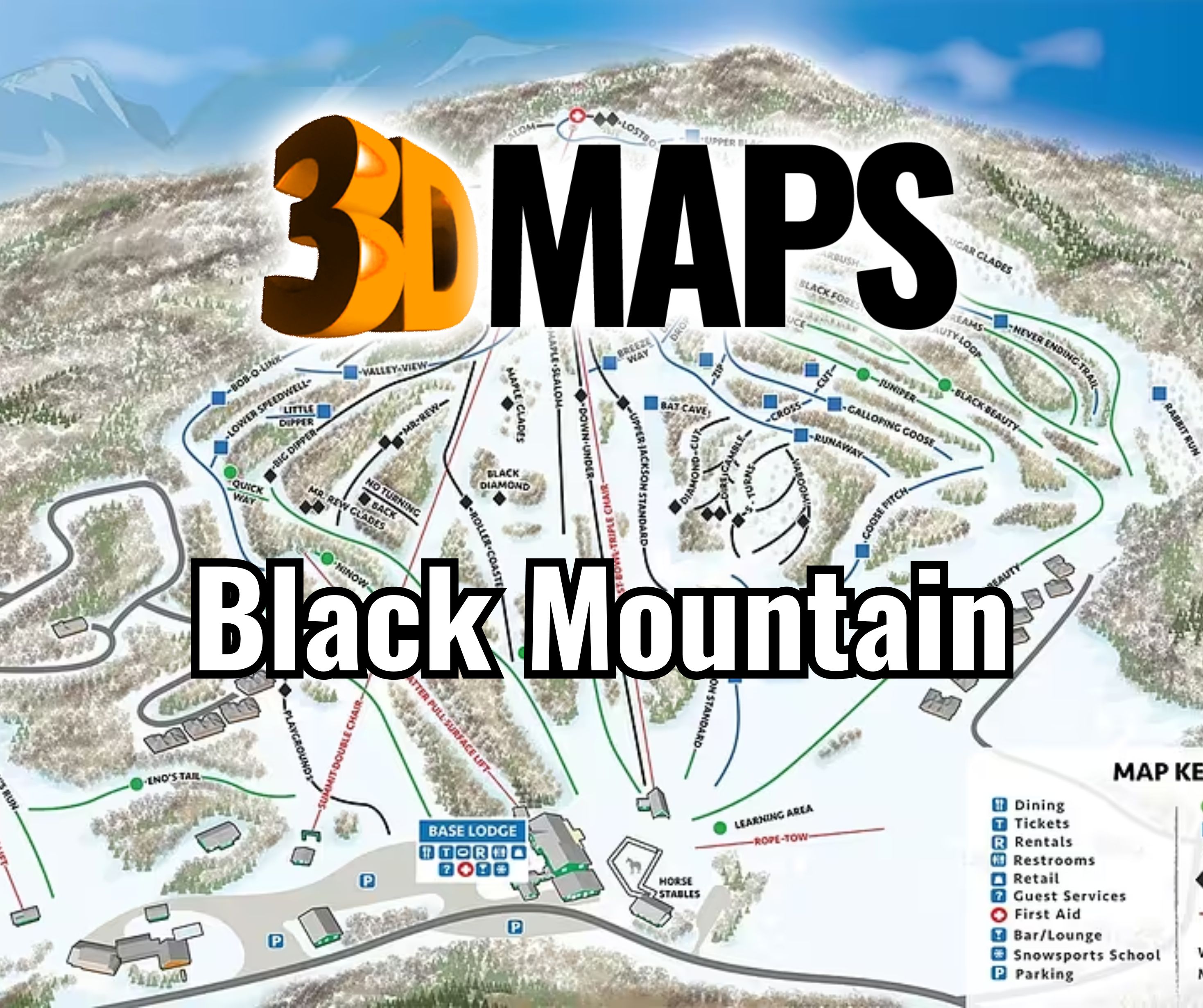
Name the Jackson mountain before defining the map
Black Mountain is not a unique place name. The working brief, proofs, captioning, and final title should consistently identify Jackson, New Hampshire. That simple control helps prevent source files or labels from an unrelated mountain entering the project.
Once the identity is fixed, define whether the physical boundary follows only the ski terrain or includes selected surrounding context. The main landform should remain large enough for the summit extension, East Bowl terrain, lifts, and base relationship to read without a crowded legend.
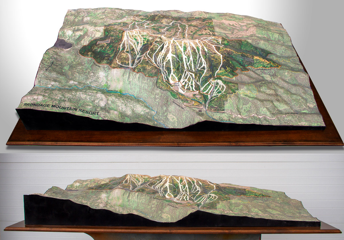
Compare a verified Brundage project from Idaho
The supporting photograph shows a completed WhiteClouds topographical model for Brundage Mountain Resort in Idaho. It is a useful example of ski terrain translated into a physical display, but it does not depict Black Mountain in Jackson and supplies none of this page's geographic data.
Organize the mountain from summit to base
Relief, route graphics, and labels should reinforce the same viewing direction.
Summit reach
Keep the upper lift and terrain visually connected to the main mountain rather than isolating them at the edge.
East Bowl
Use the primary lift-served area as a major orientation zone without implying unsupported operational claims.
South-facing form
Test shadows and installation lighting so the slope does not appear visually flat from the main approach.
Base reference
Retain the minimum lodge, lift, and arrival markers that help a viewer understand where routes return.
Build a location-specific source package
Final geography and labels should come from current, buyer-approved data.
- Jackson, New Hampshire subject confirmation
- Current terrain, trail, and lift sources
- Exact boundary and map orientation
- Required summit, East Bowl, and base labels
- Display dimensions and viewing distance
- Relief depth and lighting direction
- Placement, installation access, destination, and schedule
Match the frame to the terrain rather than a generic ratio
The mountain's summit-to-base form may favor a portrait or moderately wide composition depending on the surrounding boundary. The physical frame should follow the approved geography, not force the terrain into a standard image crop.
Review a full-size label proof under lighting similar to the intended setting. This catches conflicts between relief shadows, trail colors, and fine route names before those elements are committed to the finished display.
Request pricing for a Black Mountain 3D map
Provide the Jackson, New Hampshire boundary, current source files, required lift and facility labels, dimensions, orientation, lighting and placement details, destination, and schedule.