
Mount Aloysius College 3D Topographical Library Map
WhiteClouds created a 3D topographical map for the renovated Mount Aloysius College library, combining raised terrain, reader rails, and more than 40 regional points of interest.
- Customer
- Mount Aloysius College
- Application
- Renovated college library
- Content
- More than 40 points of interest
- Display
- Raised terrain with reader rails
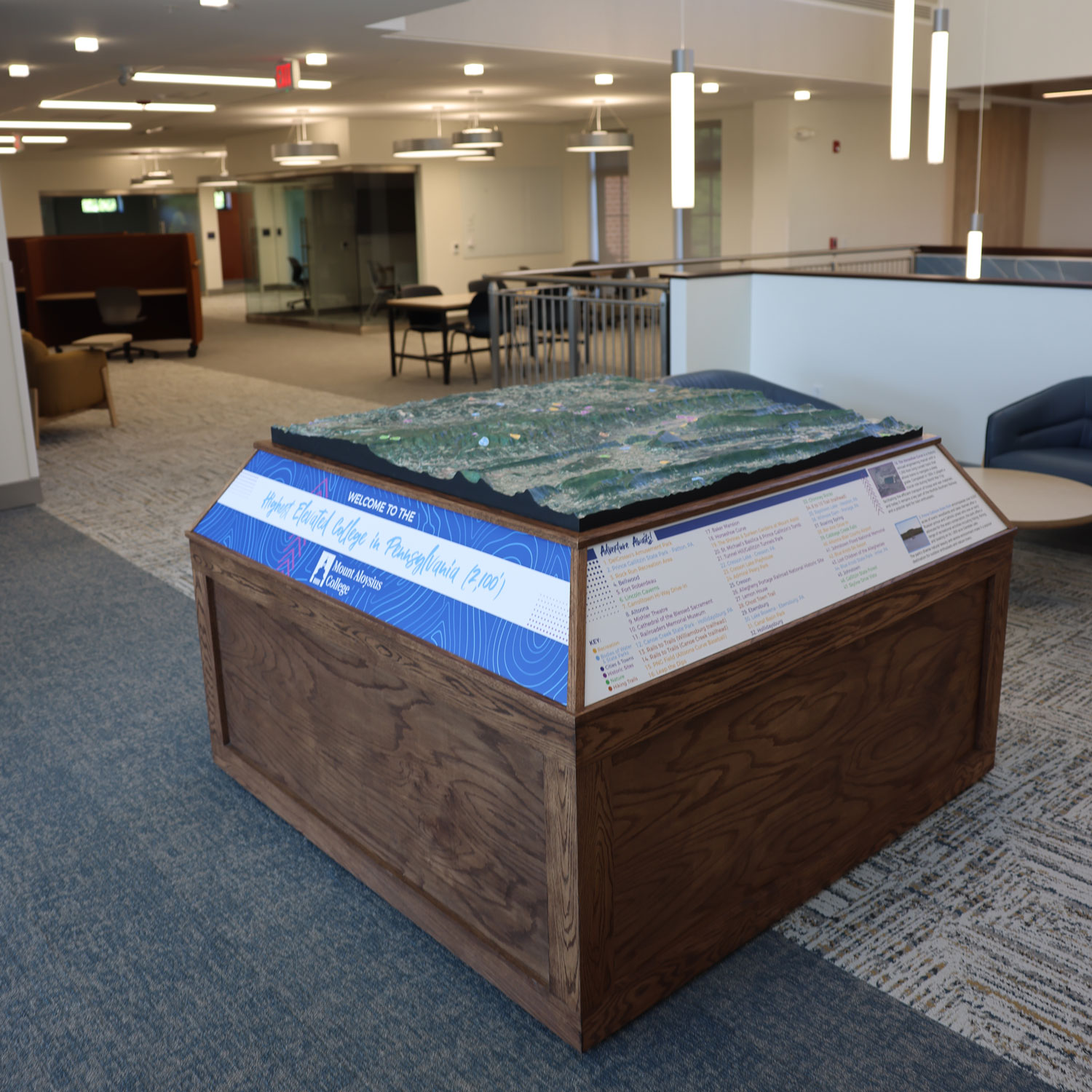
WhiteClouds created a physical topographical map for the renovated library at Mount Aloysius College in Pennsylvania. The raised terrain sits on a custom wooden base and is surrounded by reader rails. More than 40 points of interest connect the regional landform to nearby parks, trails, communities, and historic or cultural locations.
Regional terrain presented as a library centerpiece
The map occupies the top of a square wooden display, allowing viewers to approach from several sides. Elevation, valleys, ridges, roads, water, and labeled locations remain visible across the surface. Reader rails wrap the base with supporting information, so the terrain and its interpretation stay together as one physical exhibit.
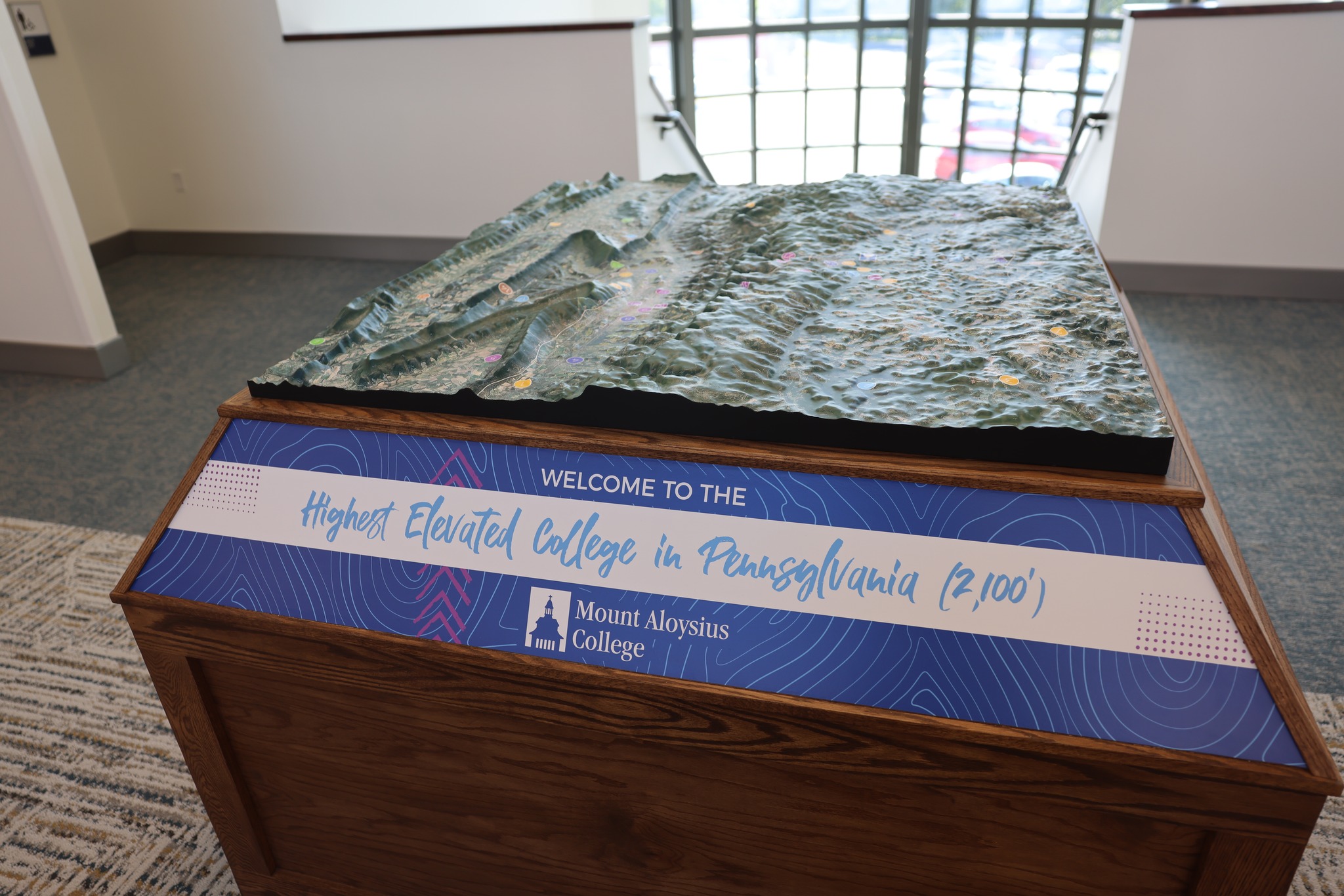
Installed in the Mount Aloysius College library
The completed terrain map sits on a wood base that can be approached from multiple sides. Branded reader-rail panels identify Mount Aloysius College and frame the geographic content. The completed exhibit brings the regional landform and more than 40 labeled references together in one library display.
The exhibit combines three information layers in one footprint: the raised landform, labels and mapped references, and the surrounding reader rails. The wood base allows circulation on multiple sides, while the raised terrain makes elevation changes easy to inspect. Keeping those layers together allows a visitor to move between regional shape and individual points of interest without consulting a separate wall panel.
Planning a custom 3D map?
Share the geographic area, intended display use, approximate footprint, required labels or branding, deadline, shipping destination, and available map data.