- All
- Articles
- Blog
- Case Studies
- Featured
- Galleries
- Glossaries
- Products
- Services
- Top 10
- Videos

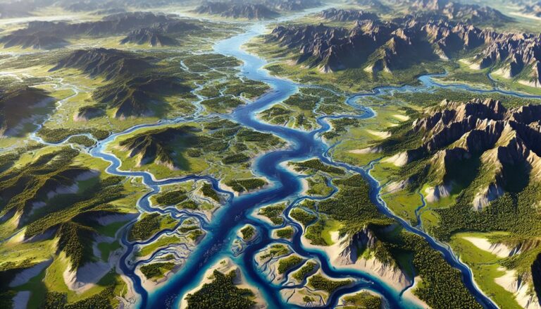
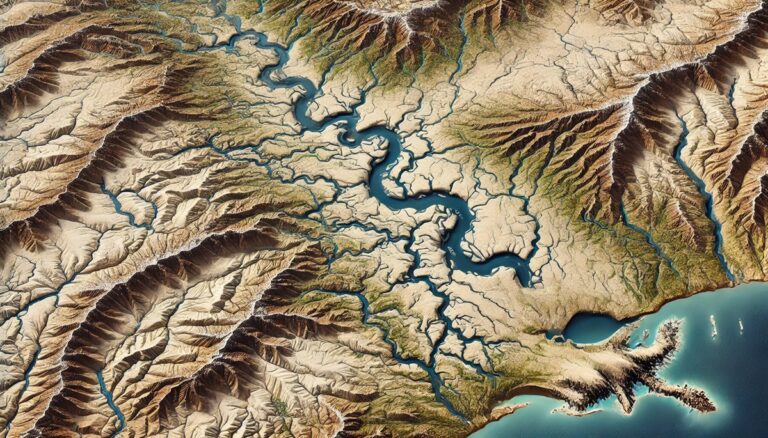
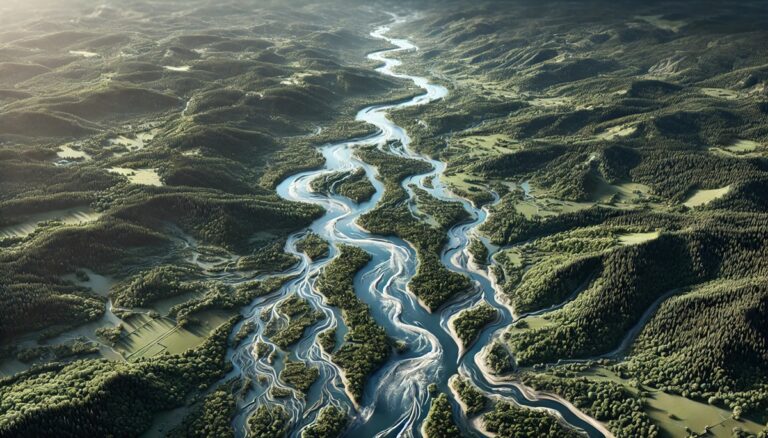
Red River Watershed (North) Map
Dive into the Red River Watershed, a vast system shaping the Great Plains. Discover its hydrology, biodiversity, and how 3D mapping innovations like Green River ...

White River Watershed Map
Discover the White River Watershed, a vital Midwest ecosystem supporting agriculture, biodiversity, and communities. Explore its intricate network through the White River Watershed Map and ...
Pascagoula River Watershed Map
Discover the Pascagoula River Watershed, a vital ecosystem in Mississippi. Learn how 3D mapping technology enhances water management, flood prediction, and conservation efforts. Explore its ...
Cape Fear River Watershed Map
Discover the Cape Fear River Watershed, a critical water system in North Carolina. Learn how 3D mapping technology enhances water management, flood prediction, and conservation. ...
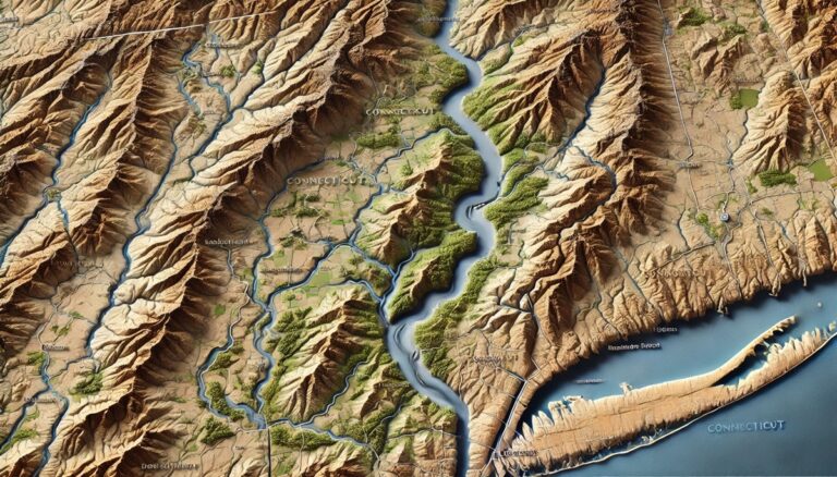
Connecticut Watershed Maps
Discover the dynamic watersheds of Connecticut, where rivers, streams, and ecosystems converge to sustain life. Explore how 3D mapping technology is revolutionizing water management, providing ...

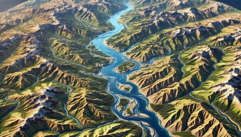
Paraná River Watershed Map
Dive into the Paraná River Watershed, a vital lifeline for South America, through advanced 3D mapping technologies. Explore its diverse ecosystems, seasonal dynamics, and how ...

Owens River Watershed Map
Explore the Owens Watershed, a vital water source in California. Discover how 3D mapping technology enhances water management, supports conservation, and predicts flooding. Learn about ...
Mekong River Watershed Map
Dive into the Mekong River Watershed, exploring its vibrant ecosystems and vital role in Southeast Asia. Discover how cutting-edge 3D mapping technologies help manage this ...

San Joaquin River Watershed Map
Dive into the San Joaquin River Watershed, a lifeline for California’s ecosystems and agriculture. Explore its dynamic flow, rich biodiversity, and challenges like climate change ...

Egypt Watershed Maps
Egypt’s watershed maps are essential for managing water resources, predicting floods, and ensuring sustainable water use. These maps help allocate water for agriculture, industry, and ...

Pacific Coast Basin Watershed Maps
Dive into the Pacific Coast Basin Watershed, exploring its diverse ecosystems, from lush forests to arid deserts. Discover how 3D mapping technology is helping us ...
Maine Watershed Maps
Discover Maine's unique watersheds, from the Penobscot River to the Gulf of Maine, and learn how 3D mapping technology is transforming water management. These advanced ...

Meramec River Watershed Map
Discover the Meramec River Watershed, Missouri’s ecological gem. Explore its intricate river networks, lush ecosystems, and vibrant biodiversity through the Meramec River Watershed Map. Learn ...
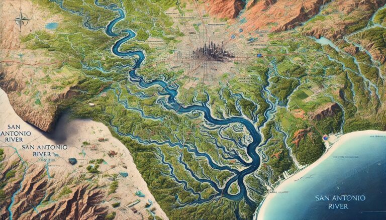
San Antonio River Watershed Map
Discover the San Antonio River Watershed, a lifeline for South Texas ecosystems and communities. Explore its intricate river networks and vibrant biodiversity through the San ...

Costa Rica Watershed Maps
Costa Rica’s watershed maps are essential for managing water resources, predicting floods, and ensuring sustainable water use. These maps guide water allocation for agriculture, industry, ...

Hanalei River Watershed Map
Discover the Hanalei River Watershed, a vital ecosystem in Kauai, Hawaii. Learn how 3D mapping technology helps manage water resources, protect wildlife, and guide conservation ...
Bahamas Watershed Maps
The Bahamas’ watershed maps are essential for managing limited freshwater resources in the archipelago. These maps track water flow through aquifers and highlight areas in ...

Arkansas Watershed Maps
Dive into Arkansas's dynamic watersheds, where rivers, mountains, and wetlands converge to sustain life. Discover how 3D mapping technology is transforming water management, offering crucial ...

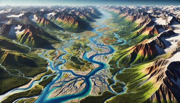
Noatak River Watershed Map
Explore the Noatak River Watershed, a vital waterway in Alaska’s Arctic. Discover how 3D mapping technology enhances water management, flood prediction, and conservation efforts. Learn ...

Alabama Watershed Maps
Dive into Alabama's watersheds, where diverse ecosystems rely on intricate water systems. Discover how 3D mapping technology is transforming our understanding of water flow, improving ...

Sequoyah County Oklahoma Watershed Map
Discover the intricate water systems of Sequoyah County, Oklahoma, through detailed watershed maps. Learn how 3D mapping technology helps manage resources, predict floods, and support ...

Canada Watershed Maps
Canada’s watershed maps are essential for managing the country’s vast river systems, predicting floods, and ensuring sustainable water use. These maps support water allocation, flood ...
Massachusetts Watershed Maps
Dive into Massachusetts' diverse watersheds, from the Connecticut River to the Atlantic coastline, and explore how 3D mapping technology is transforming water management. These advanced ...
Lithuania Watershed Maps
Lithuania’s watersheds are crucial for agriculture, energy, and ecosystems. This blog explores their significance, challenges, and how 3D watershed maps help manage water resources, reduce ...
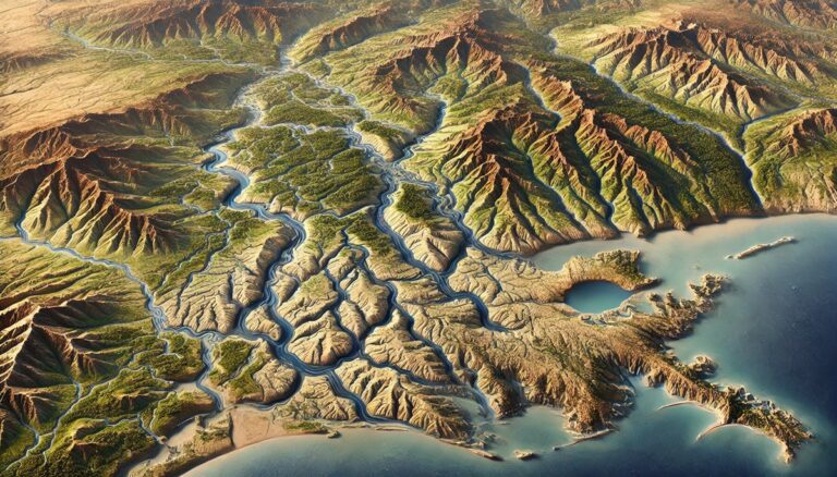
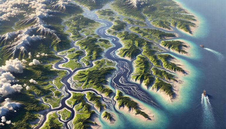
Gulf of Mexico Basin Watershed Maps
Dive into the Gulf of Mexico Basin Watershed, exploring its diverse landscapes, critical water systems, and rich ecosystems. Discover how cutting-edge 3D mapping technology is ...

Roanoke River Watershed Map
Discover the Roanoke River Watershed, a vital Southeastern ecosystem flowing through Virginia and North Carolina. Explore its intricate hydrology, rich biodiversity, and how human influence ...
Washington Watershed Maps
Explore Washington’s intricate water systems through detailed watershed maps. Learn how 3D mapping technology helps manage resources, protect ecosystems, and ensure sustainability. Discover the critical ...

Virgin River Watershed Map
Explore the Virgin River Watershed, a lifeline in the Mojave Desert. Learn how 3D mapping enhances water management, conservation, and flood prediction. Discover its role ...