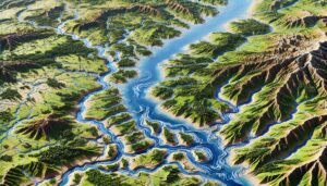
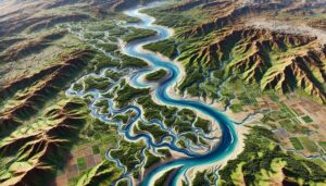
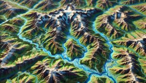
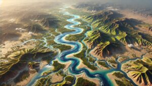
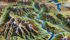
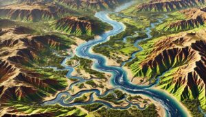
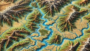
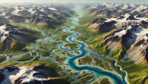
Congo River Watershed Map
Discover the Congo River Watershed, a vital system that sustains ecosystems and communities across Central Africa. Learn how 3D mapping technology helps manage water resources, support conservation efforts, and predict flooding risks. Explore the unique hydrology, biodiversity, and challenges the watershed faces, all while uncovering the importance of preserving this critical natural resource.