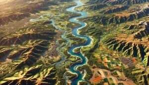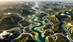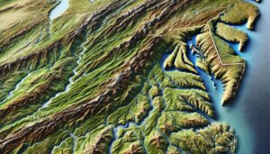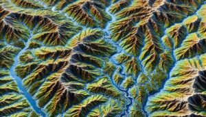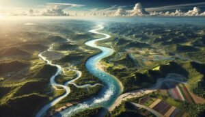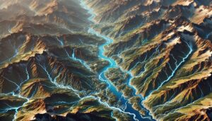
Bhutan Watershed Maps
Watershed maps are crucial for managing Bhutan’s rivers, hydropower, and agriculture. These maps help predict water availability, mitigate flood risks, and guide sustainable development while adapting to climate change challenges.