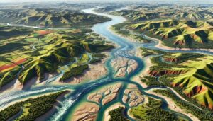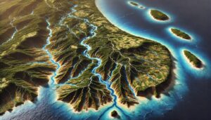
Barbados Watershed Maps
Barbados’ watershed maps are essential for managing water resources on the island. These maps help monitor river systems, aquifers, and the impacts of climate change, ensuring sustainable water use for agriculture, ecosystems, and communities.