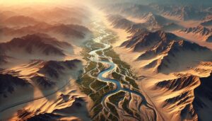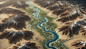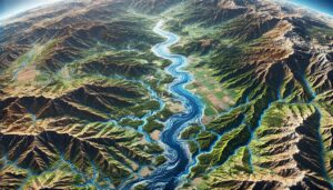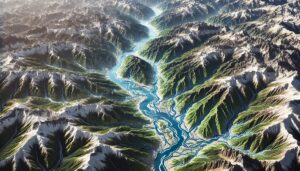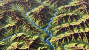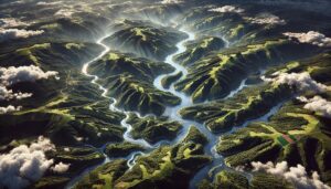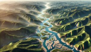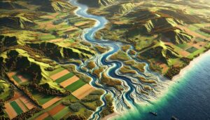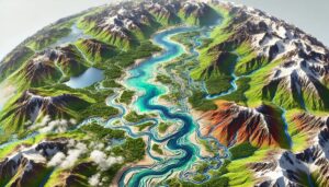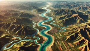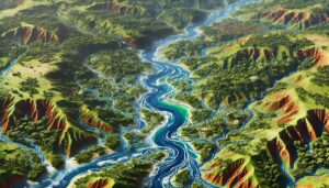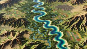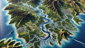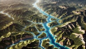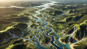
Guinea-Bissau Watershed Maps
Guinea-Bissau’s watersheds are vital for its environment and economy, supporting agriculture, biodiversity, and water supply. This blog examines the challenges, the role of 3D watershed maps, and conservation efforts needed to protect these critical resources for the future. Discover how mapping and sustainable practices can safeguard Guinea-Bissau’s watersheds in the face of pollution, deforestation, and climate change.