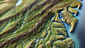
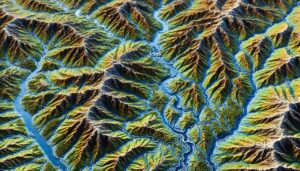
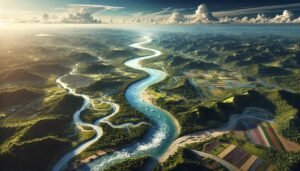
Madagascar Watershed Maps
Madagascar’s watersheds are crucial for agriculture, hydropower, and ecosystems. This blog explores their significance, challenges, and how 3D watershed maps help manage water resources, reduce pollution, and support conservation efforts. Learn how mapping technologies help Madagascar navigate water scarcity, climate change, and resource management challenges for a sustainable future.