What Is Topography? Mapping the Shape of Our World
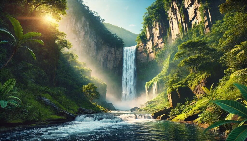
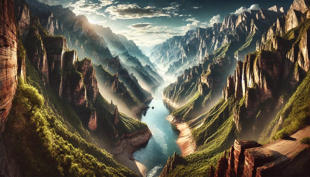
When you look out over a mountain range, wander across rolling hills, or stand on a flat plain that stretches to the horizon, you’re experiencing topography. It’s a word that often shows up in maps, geography books, and scientific reports, but its meaning is broader, richer, and far more fascinating than many realize. Topography is more than just the study of land—it’s the language of landscapes, the blueprint of our planet, and the art of turning Earth’s shapes into knowledge.
Defining Topography: More Than Just Maps
At its simplest, topography refers to the description and representation of the physical features of a surface, most often Earth. It involves charting the natural and artificial forms of a landscape—mountains, valleys, rivers, plains, roads, cities, and everything in between.
But topography isn’t just about identifying what’s where. It’s about capturing the shape, the relief, and the character of terrain. When you see a contour map that shows elevation lines winding across a page, you’re looking at topography in action. When a hiker checks a trail map before deciding which route to take, they’re interpreting topography. It’s both a science and a visual language, helping us transform the three-dimensional world into information we can use.
The Origins of the Word
The word “topography” comes from two Greek roots: topos, meaning “place,” and graphein, meaning “to write” or “to describe.” Put together, it literally means “the description of a place.” For thousands of years, humans have practiced topography without always calling it by that name. Early maps carved on clay tablets or drawn on parchment often included hills, rivers, and settlements, representing how people understood their environments. As civilizations grew, topography became essential for exploration, military planning, agriculture, and trade. Empires needed to know where mountains and rivers lay, not just to navigate them but to defend borders and build infrastructure. The concept of topography evolved alongside human curiosity and necessity, transforming from simple sketches to the highly detailed digital models we rely on today.

Why Topography Matters
Topography is not just an academic exercise—it plays a role in nearly every part of life. Farmers need to understand topography to know how water will flow across their fields. Engineers depend on it when planning highways, bridges, or skyscrapers. Pilots and sailors rely on topographic and bathymetric maps (which chart underwater terrain) to navigate safely.
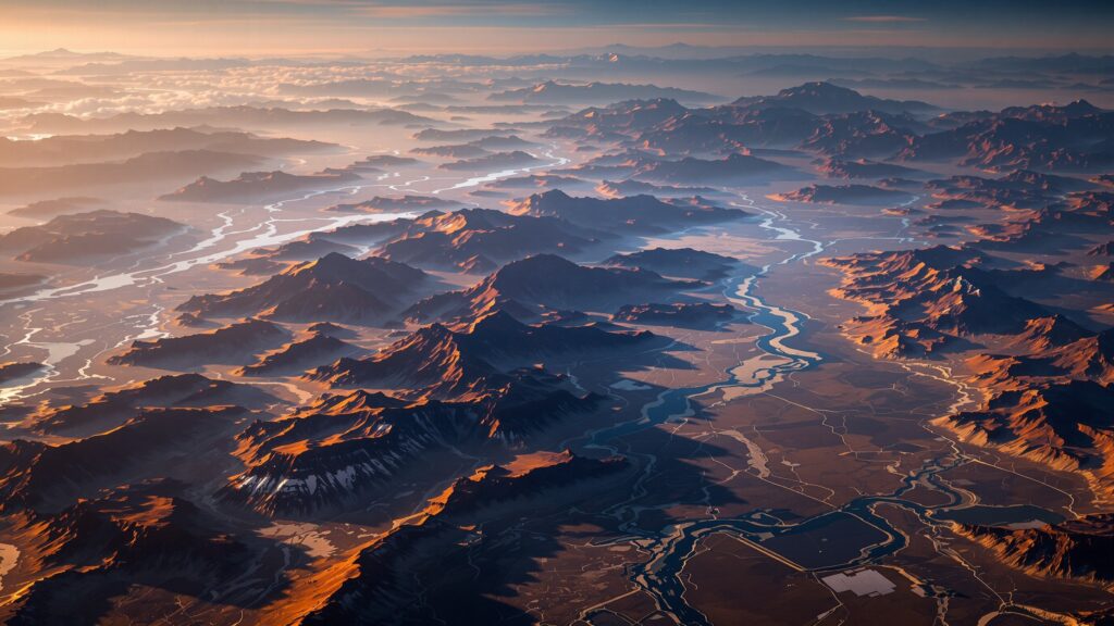
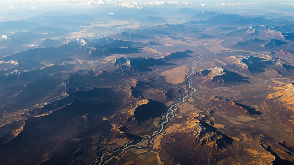
Topography even affects climate. Mountain ranges shape weather patterns, creating rain shadows and altering winds. Valleys channel rivers and influence ecosystems. Urban planners use topographic surveys to prevent flooding and design sustainable cities. In short, the study of landforms shapes how we live on Earth and how we adapt to its challenges.
Topography in Science and Exploration
Scientists use topography to uncover Earth’s history. Geologists map landforms to understand how mountains formed, how glaciers carved valleys, and how tectonic plates shifted. Archeologists study ancient topographies to locate lost civilizations and understand how people interacted with their environments.
Explorers have long depended on topographic knowledge. Early expeditions relied on sketches and rough surveys, while modern adventurers carry GPS units loaded with topographic data accurate to within a few feet. NASA even creates topographic maps of the Moon and Mars, proving that topography isn’t limited to Earth—it’s a universal tool for exploration.
Tools of Topography: From Compass to Satellites
Throughout history, the methods of recording topography have evolved dramatically. Early surveyors used compasses, chains, and levels to measure distances and elevations. The process was slow and labor-intensive, often taking years to map even small regions.
The invention of the theodolite in the 16th century revolutionized topographic mapping, allowing surveyors to measure angles precisely. Later, aerial photography during the 20th century gave cartographers a bird’s-eye view of landscapes, leading to more accurate maps.
Today, satellites and LiDAR (Light Detection and Ranging) technology can scan Earth’s surface in incredible detail. With digital elevation models, scientists can map terrain down to a few centimeters of accuracy. These tools have expanded the meaning of topography from simple drawings to complex, interactive 3D models used in everything from climate science to video game design.
Reading a Topographic Map: The Art of Contours
For many people, the most familiar form of topography is the topographic map. These maps use contour lines to represent elevation. Each line connects points of equal height, creating a visual representation of hills, valleys, and slopes. The closer the lines, the steeper the terrain; the farther apart, the gentler the slope. Learning to read these maps is like learning a new language. Suddenly, the squiggly lines reveal mountains, ridges, basins, and cliffs. Hikers, campers, and mountaineers rely on them to plan safe routes. Engineers use them to determine where to build. Military strategists study them to understand battlefields. A single topographic map holds a world of information, condensed into a two-dimensional form.
Topography Beyond Earth: Mapping Other Worlds
While topography is often thought of as Earth science, it extends far beyond our planet. Astronomers and planetary scientists create topographic maps of Mars, Venus, the Moon, and even asteroids. NASA’s Mars Reconnaissance Orbiter, for example, has produced detailed maps of Martian valleys, craters, and volcanoes.
These extraterrestrial topographies help scientists compare worlds. Olympus Mons on Mars towers nearly 72,000 feet above its base—about three times taller than Mount Everest. The Moon’s South Pole–Aitken Basin is one of the largest known impact craters in the solar system, measuring more than 1,500 miles across. By studying topography elsewhere, we gain insights into Earth’s own processes and possibilities.
Topography in Everyday Life
Even if you’re not a scientist or explorer, you interact with topography more often than you might think. When you check a hiking app, you’re looking at topographic data. When a city government issues a flood risk map, it’s based on topographic surveys. Real estate developers evaluate topography when deciding where to build new neighborhoods. Even athletes use topography—cyclists analyze elevation changes in a course, while marathoners prepare for hills based on topographic maps. In virtual spaces, video game designers use topography to craft realistic worlds, applying the same principles that cartographers use in real life.
The Artistic Side of Topography
Topography isn’t just science—it’s also art. Many maps are works of beauty, with sweeping contour lines, shaded reliefs, and vibrant colors that capture the drama of landscapes. Artists often reinterpret topography to emphasize form, pattern, and abstraction.
Photography, too, has embraced topographic themes. A movement in the 1970s called the “New Topographics” sought to document human-altered landscapes in stark, honest ways. This blend of art and science highlights how topography isn’t only about measurement but also about perception and storytelling.

The Digital Age of Topography
The rise of digital technology has transformed topography into an interactive experience. With tools like Google Earth, anyone can zoom into valleys, circle mountains, or glide across plains in seconds. Geographic Information Systems (GIS) allow scientists, governments, and businesses to overlay topographic data with demographic, environmental, or economic information. Drones are increasingly used to create precise topographic surveys of everything from construction sites to archaeological digs. Virtual reality even allows users to walk across digital landscapes that mirror real-world terrain. Topography in the digital age isn’t confined to paper maps—it’s immersive, dynamic, and endlessly useful.
Topography and Climate Change
In our current era, topography has taken on even greater importance. Rising seas, melting glaciers, and shifting climates demand precise understanding of landscapes. Coastal topographic maps reveal which cities are most vulnerable to flooding. Mountain topographies help scientists track glacial retreat. Desert topographies shed light on how dunes migrate and ecosystems adapt.
The study of landforms has become a frontline tool in adapting to climate change. Understanding the size, shape, and elevation of our world is essential for protecting communities and planning for the future. Topography isn’t just about describing the world—it’s about sustaining it.
Why Topography Captures Human Imagination
Topography fascinates us because it speaks to something primal: our relationship with the land. Whether we’re standing in awe before mountains, tracing rivers across a map, or marveling at satellite images of Earth, we are engaging with the shapes that define our world. It connects past and present. Ancient travelers used rudimentary maps to cross continents. Today, explorers use high-resolution models to plan missions to Mars. Across millennia, the need to understand topography has united human ambition, survival, and curiosity.
Conclusion: The Shape of the World Around Us
So, what is topography? It’s the science of describing Earth’s surface, the art of translating landscapes into language, and the foundation for everything from farming and engineering to art and exploration. It measures mountains and valleys, guides hikers and astronauts, and shapes how we see both Earth and other worlds. Topography tells us where we are, how we got here, and where we might go. It transforms the immense complexity of our planet into knowledge we can use, whether we’re building cities, protecting ecosystems, or simply wandering with curiosity. The next time you see a map, hike a trail, or gaze out at the horizon, remember: you’re experiencing topography in its most profound form. It’s the hidden framework beneath our daily lives, the canvas of our history, and the blueprint of our future.