
Vermont’s Topographic Features
When we turn our focus to Vermont, several features stand out in its topographic maps:
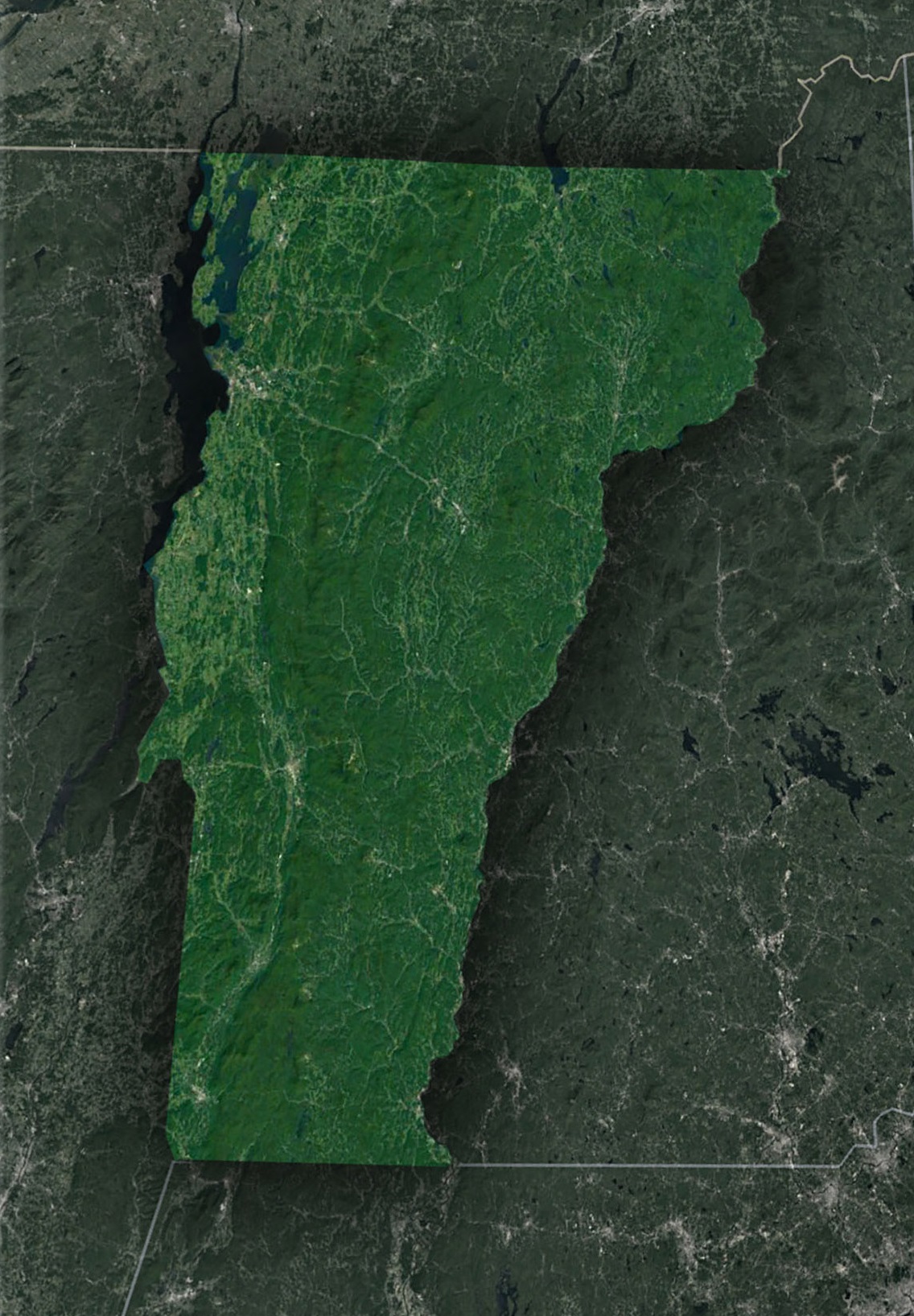
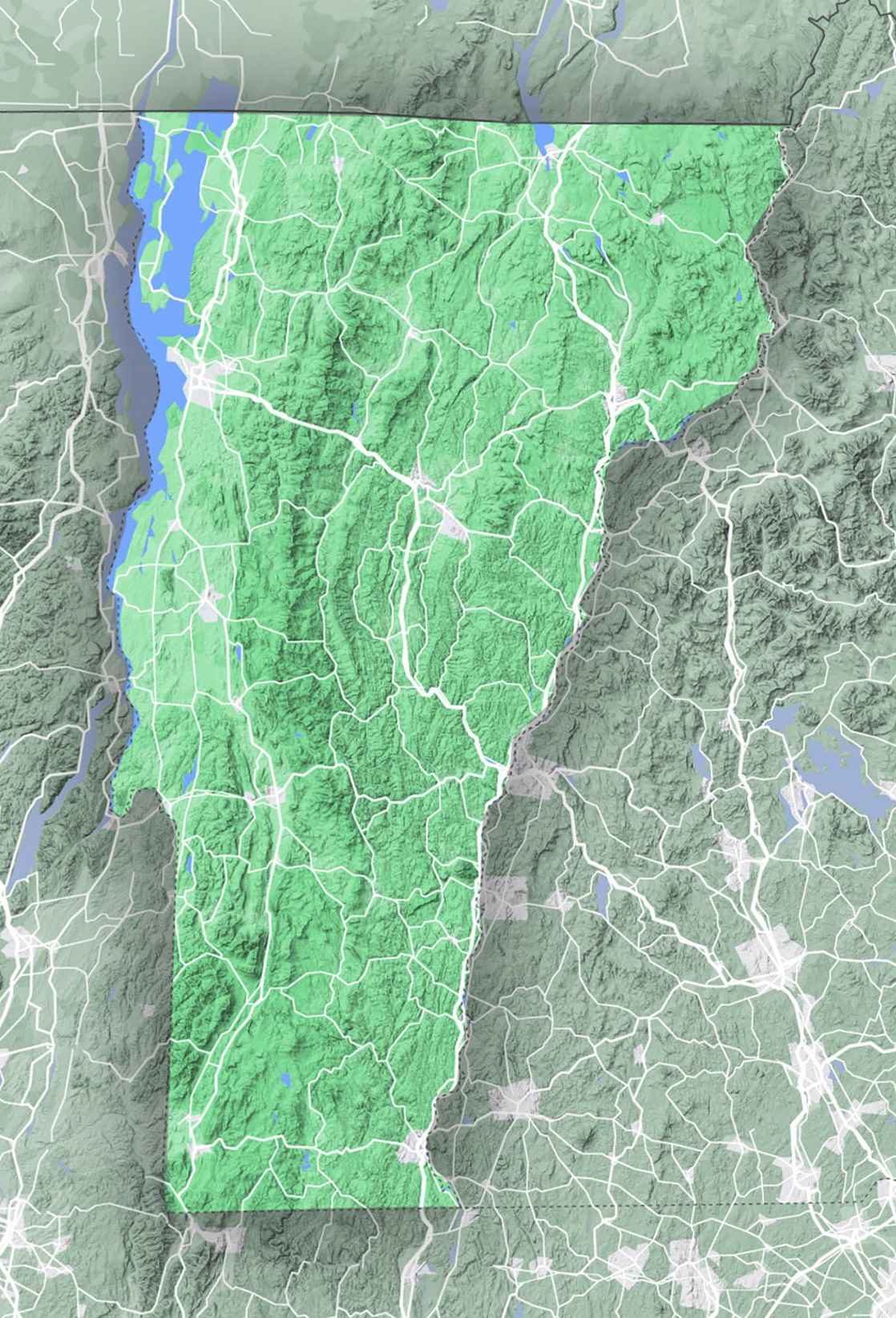
- The Green Mountains: Dominating the landscape, these mountains run from south to north, bisecting the state. These mountains host popular ski resorts like Stowe and Sugarbush, and their highest peak, Mount Mansfield, reaches an elevation of 4,393 feet.
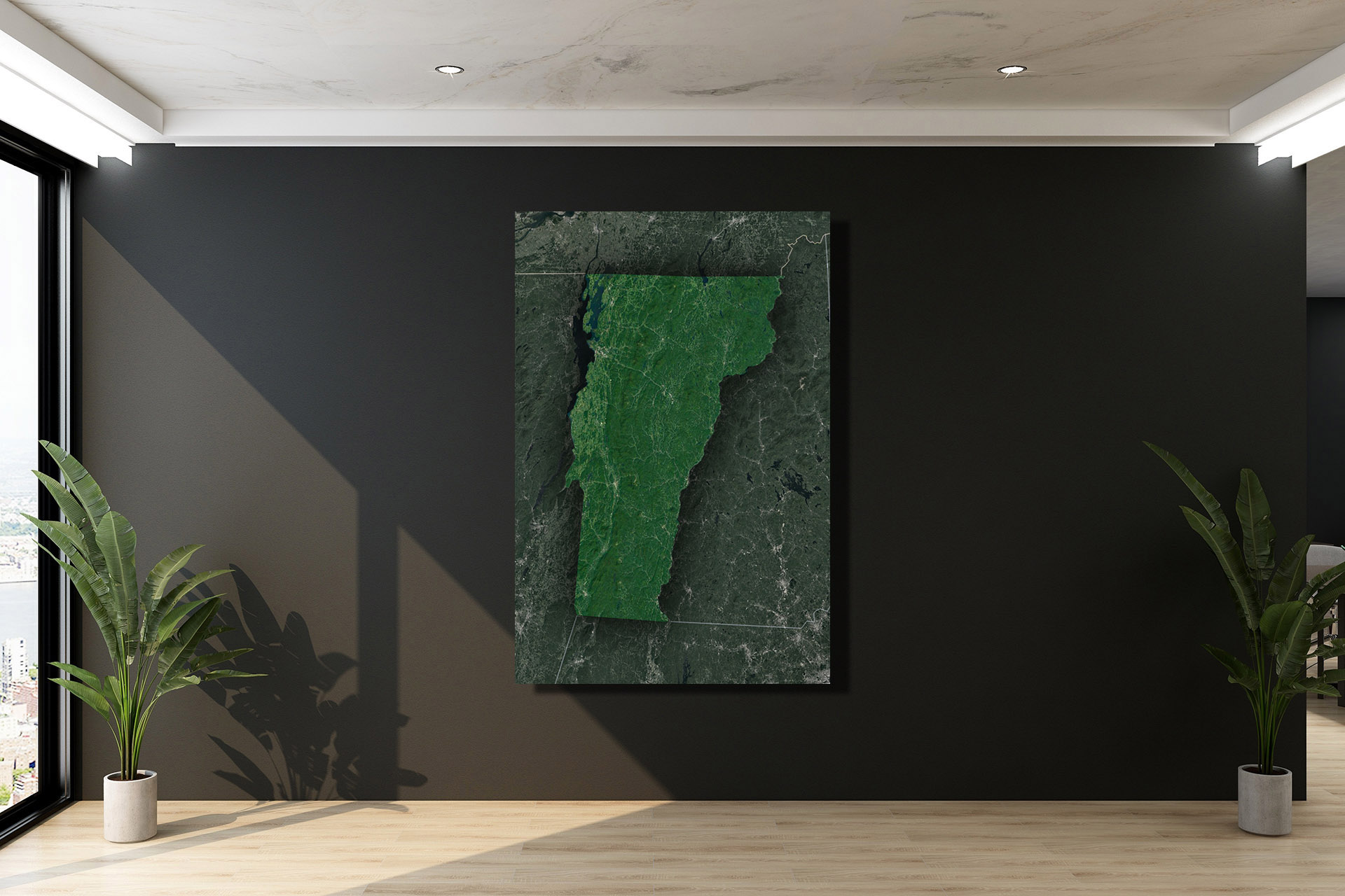
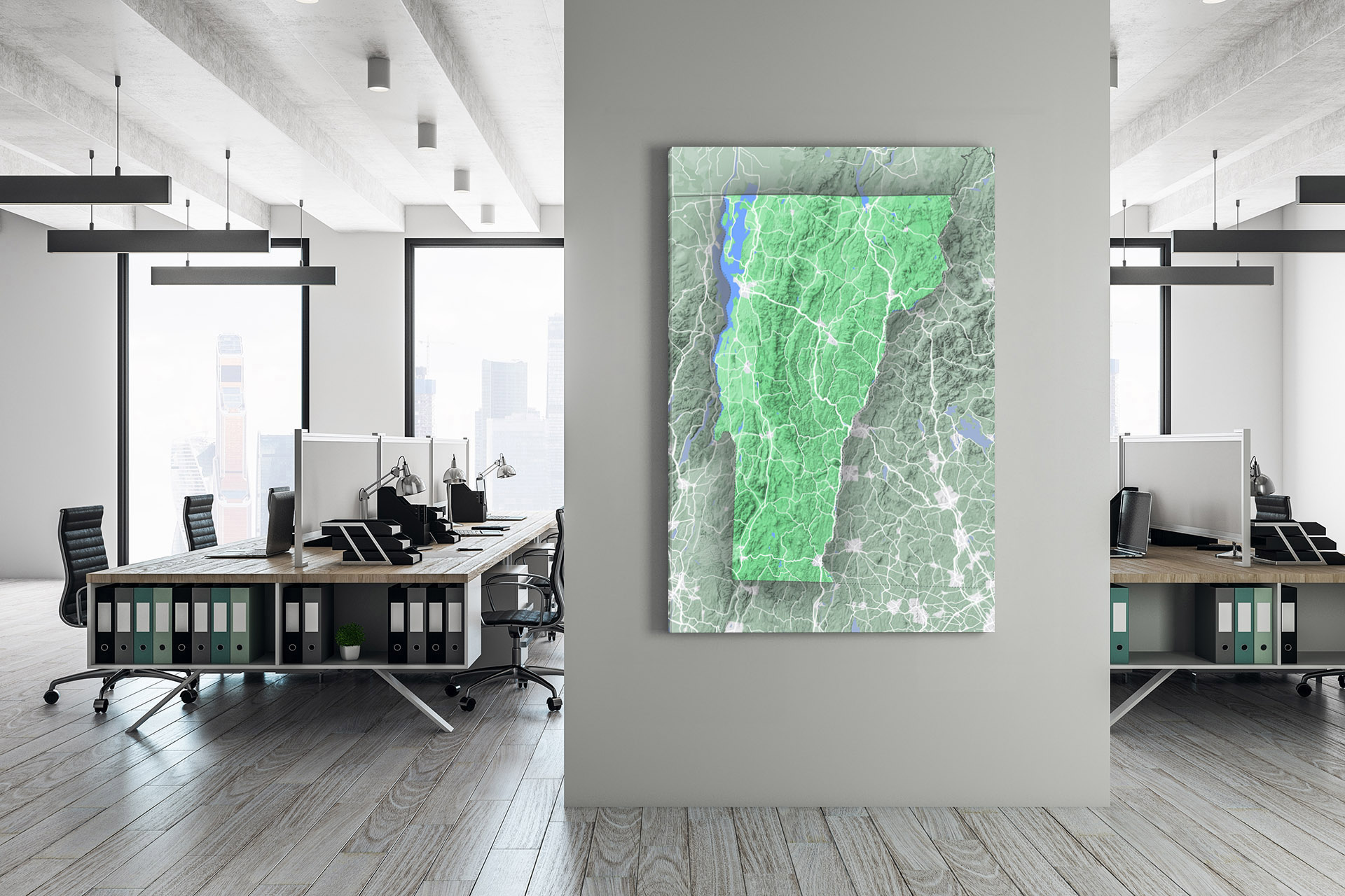
- Champlain Valley: West of the Green Mountains, this fertile valley is home to Vermont’s largest city, Burlington. The valley adjoins Lake Champlain, which stretches for over 120 miles, forming a natural boundary between Vermont and New York.
- Northeast Highlands: East of the Green Mountains, this region comprises rolling hills and plateaus, crisscrossed by several rivers, making it ideal for agriculture.
Why Topographic Maps Matter in Vermont
- Hiking and Outdoor Activities: Vermont boasts over 1,000 miles of hiking trails. Topographic maps are essential for hikers and trekkers to understand trail difficulty, elevation changes, and potential obstacles. Popular trails like the Long Trail, which spans the entire length of the state, can be navigated more safely with the help of these detailed maps.
- Conservation and Environmental Studies: Conservationists and environmentalists use topographic maps to understand watersheds, habitat zones, and land use patterns. This understanding aids in making informed decisions to protect Vermont’s rich biodiversity.
- Land Development: Architects, city planners, and developers rely on topographic maps to design infrastructures that align with the landscape. This ensures that structures are stable, safe, and sustainable.
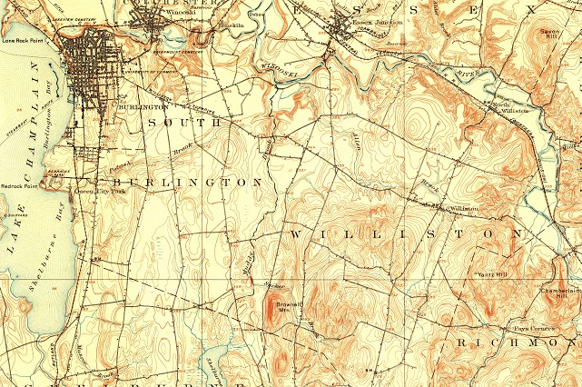
- Historical Exploration: Old topographic maps give a glimpse of how Vermont’s landscape has evolved over time. Historians and researchers use these maps to study land-use changes, settlement patterns, and historical events.
Reading a Topographic Map of Vermont
At first glance, a topographic map may seem like a daunting jumble of lines, symbols, and numbers. However, with a little knowledge, they become invaluable tools for understanding the landscape.
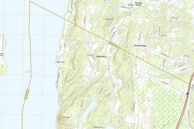
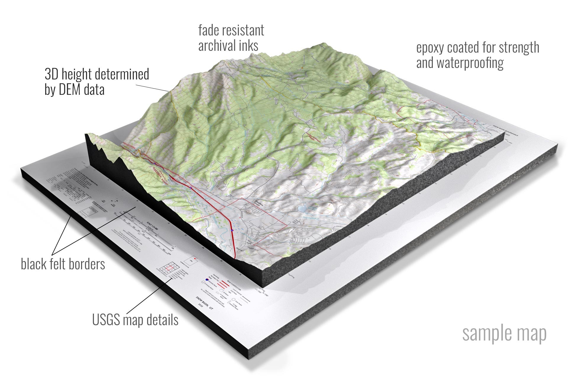
Contour Lines: These lines represent the elevation and shape of the terrain. Lines close together indicate a steep slope, while those spaced apart signify a more gentle incline.
Colors: Different colors can represent various features. Green usually indicates vegetation, blue for water, and brown for contour lines and elevations.
Symbols: These represent different natural or man-made features. For instance, a black square might denote a building, while wavy blue lines could indicate streams or rivers.
Exploring with Topographic Maps
With a topographic map in hand, you’re well-equipped to explore Vermont’s wonders. Here are some suggestions:
Hike Mount Mansfield: Using the map, identify the various trails leading to the summit. Assess their difficulty based on contour lines and choose the one that best fits your skill level.
Kayak on Lake Champlain: Understand the lake’s depth and features, find suitable launch sites, and navigate its vast expanse with ease.
Visit Historic Sites: Vermont is dotted with historical landmarks. Use old and new topographic maps to compare landscapes and explore these sites with a fresh perspective.
Photography: For photographers, topographic maps can help identify vantage points, especially in the Green Mountains, providing the best spots for capturing Vermont’s beauty.
Vermont, with its lush landscapes and rich history, offers a plethora of experiences. Topographic maps are more than just tools—they’re keys that unlock the state’s secrets, guiding explorers, researchers, and nature enthusiasts through its mesmerizing terrains.
Whether you’re an avid hiker, a historian, or just someone with a keen interest in the land’s lay, topographic maps of Vermont will be your trusted companion, illuminating the state’s natural beauty and rich tapestry of features. So, the next time you set foot in the Green Mountain State, arm yourself with a topographic map and embark on a journey of discovery.
2D Canvas Prints of Vermont Maps
- 2D Vermont State Maps
- 2D Vermont USGS Topographic Maps
- 2D Vermont Historical USGS Topographic Maps
- 2D Vermont USGS Satellite Maps
- 2D Vermont USGS Terrain Maps
3D Raised Relief Vermont Maps
- 3D Raised Relief-Vermont USGS Topographic Maps
- 3D Raised Relief-Vermont Historical USGS Topographic Maps
- 3D Raised Relief-Vermont Satellite Maps
- 3D Raised Relief-Vermont Terrain Maps
Contact us today to learn more about our 3D services and how we can help you achieve your goals.