
Colorado’s Grand Terrain Tapestry
When you spread out a topographic map of Colorado, the state’s magnificent geographical diversity is immediately evident. Its contours, colors, and symbols weave a story that beckons the explorer in every one of us. Let’s dive into the mesmerizing regions that shape the heart and soul of the Centennial State:
- The Rocky Mountains: The Rockies, which dominate the central part of Colorado, aren’t just a simple mountain range. They’re a geographical marvel, a complex mosaic of soaring peaks, deep valleys, alpine forests, and sparkling glacial lakes. In this rugged embrace lies Mount Elbert, which proudly stands as the state’s highest peak at 14,440 feet. But beyond the heights, the Rockies offer meandering streams, wildflower meadows, and wildlife habitats that shift and change with the elevation, each offering its own unique ecosystem.
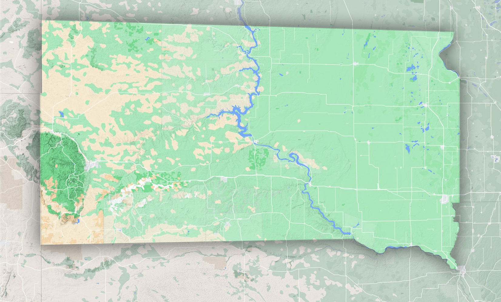
- The High Plains: To the east of the Rockies stretch the expansive High Plains, a vast area that tells a story of a time when ancient seas covered the land. Today, these plains, which roll gently toward the state’s eastern border, are characterized by grasslands that sway with the breeze, scattered hills, and unique rock formations that punctuate the horizon. The area serves as a testament to nature’s ability to adapt, from wetland marshes to arid prairie, each providing a home for a variety of flora and fauna.
- The Colorado Plateau: Moving westward, the land rises once more, giving way to the dramatic landscapes of the Colorado Plateau. This region is a painter’s palette of reds, oranges, and browns, displaying awe-inspiring features like canyons carved by time, flat-topped mesas that oversee vast expanses, and high deserts that shimmer under the sun. The intricate play of shadows in areas like the Colorado National Monument reveals the undulating nature of this landscape, making it a favorite for geologists and artists alike.
- Intermontane Basin: Hidden within the embrace of the Rocky Mountains is a relatively lesser-known treasure: the Intermontane Basin. This area, a mix of valleys, rolling hills, scattered peaks, and basins, offers a gentler contrast to its towering neighbors. The basins collect snowmelt, giving rise to lush habitats, while the valleys shelter communities that have thrived for generations.
The Significance of Topographic Maps in Colorado
- Adventure and Recreation: Be it hiking up the Maroon Bells or skiing in Aspen; a topo map helps adventurers gauge the land’s gradient, find routes, and locate essential amenities.
- Conservation and Ecology: The diverse habitats of Colorado, ranging from alpine meadows to arid deserts, are critical biodiversity hotspots. Topographic maps assist conservationists in habitat preservation efforts.
- Urban Planning: As Colorado’s cities like Denver and Boulder expand, these maps become vital in planning infrastructure, ensuring flood prevention and optimizing land use.
- Historical Insights: Colorado, with its indigenous history and Gold Rush legacy, has many stories embedded in its landscape. Topo maps, especially older versions, offer a window into the past.
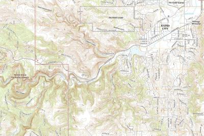
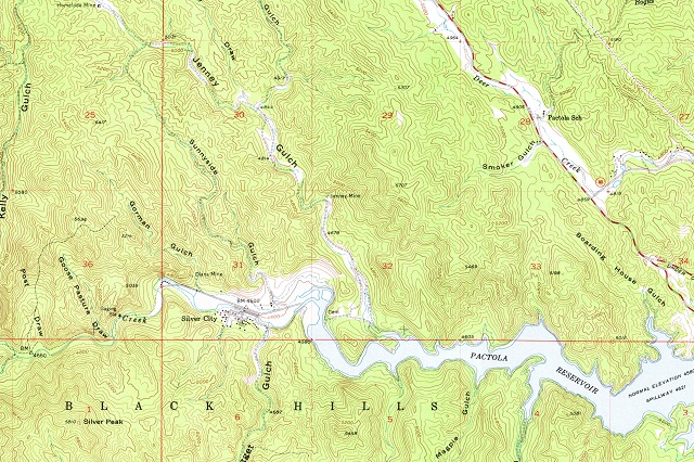
Decoding a Topographic Map of Colorado
For the uninitiated, a topographic map might seem daunting. However, with a little guidance, it becomes an enlightening tool:
Contour Lines: The closer they are, the steeper the terrain. For instance, the Rockies’ steep slopes will have closely packed lines compared to the gentler gradients of the High Plains.
Colors: Standard colors like blue for water bodies, green for forests, and brown for contour lines provide intuitive insights.
Symbols: Various symbols provide more details – from campsites to bridges and roads.
Embarking on a Colorado Expedition with a Topo Map
Armed with a topographic map, Colorado’s wonders are at your fingertips:
- Trekking in the Rockies: Find trails that suit your skill level, spot pristine lakes, and chart the safest routes.
- Exploring the Plateau: Navigate through the labyrinth of canyons, locating vantage points and understanding the topography.
- Historical Quests: Trace old mining routes, locate indigenous landmarks, and explore sites of historical significance.
From the snow-capped peaks of the Rockies to the undulating landscapes of the High Plains, Colorado is a state of topographical marvels. Each contour line on a map narrates tales of geological wonders, ecological diversity, and historical legacies.
With a topographic map in hand, the vastness of Colorado becomes a comprehensible and navigable expanse. Whether you’re an adventurer, a historian, or someone with a keen interest in geography, these maps serve as a compass, guiding you through the rich terrains of the Centennial State.
As you embark on this exploration, remember that each line, symbol, and color on the map has a story to tell – a story of nature’s grandeur, of history’s footprints, and of the ever-evolving relationship between humans and the land. Dive deep into Colorado’s topographic tales and let the state’s landscapes unfold their magic.
Check out WhiteClouds’ 3D Maps for more information on topographic maps of Colorado. Also available:
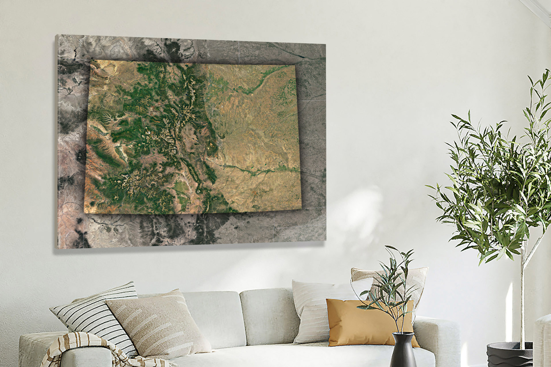
2D Canvas Prints of Colorado Maps
- 2D Colorado State Maps
- 2D Colorado USGS Topographic Maps
- 2D Colorado Historical USGS Topographic Maps
- 2D Colorado USGS Satellite Maps
- 2D Colorado USGS Terrain Maps
3D Raised Relief Colorado Maps
- 2D Raised Relief-Colorado USGS Topographic Maps
- 3D Raised Relief-Colorado Historical USGS Topographic Maps
- 3D Raised Relief-Colorado Satellite Maps
- 3D Raised Relief-Colorado Terrain Maps
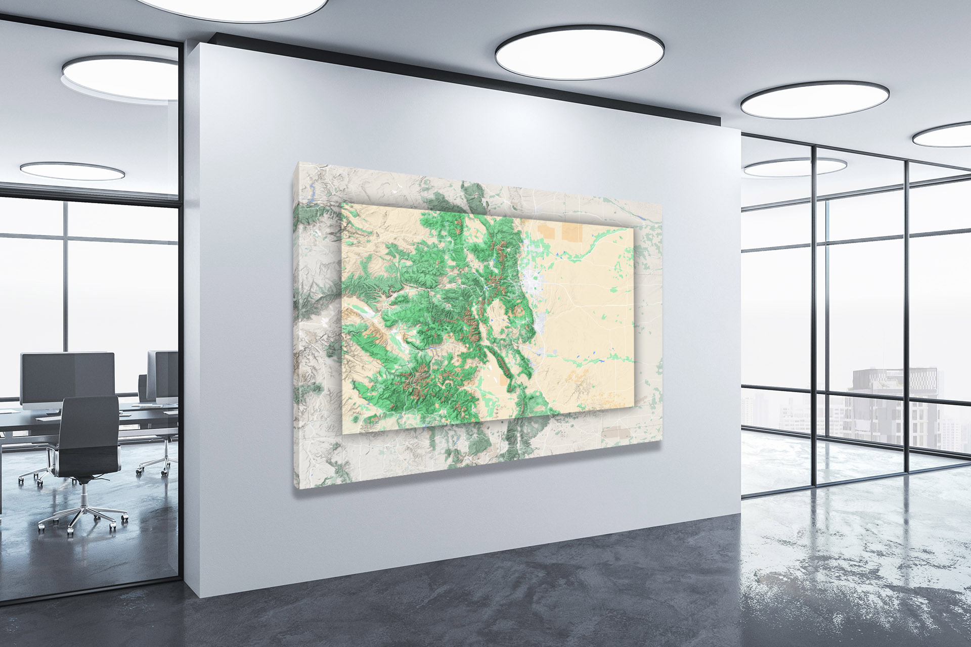
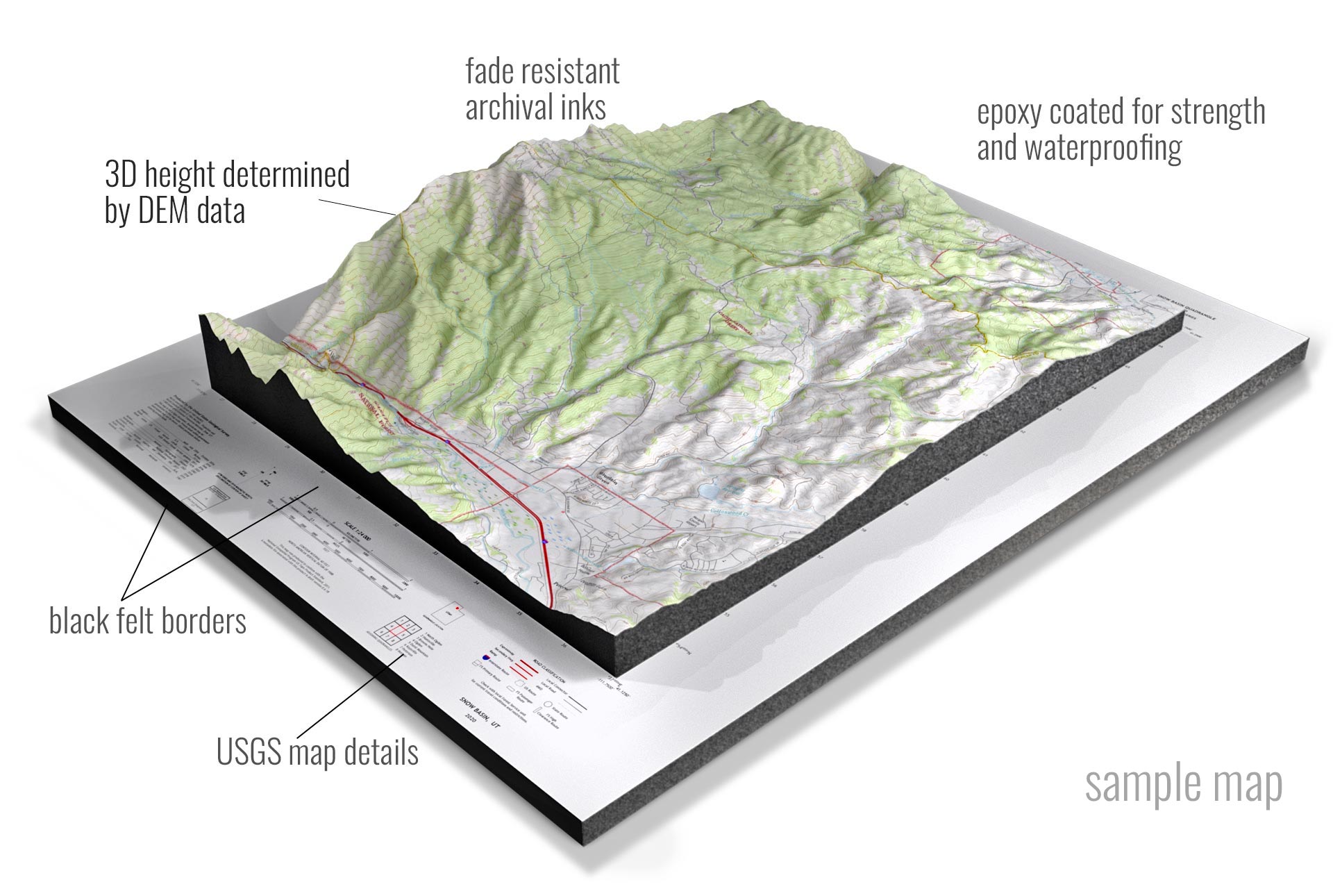 Sample 3D Topographic Map
Contact us today to learn more about our 3D services and how we can help you achieve your goals.