
Arkansas’ Geographical Gems
On a topographic map of Arkansas, several significant features emerge:
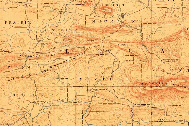
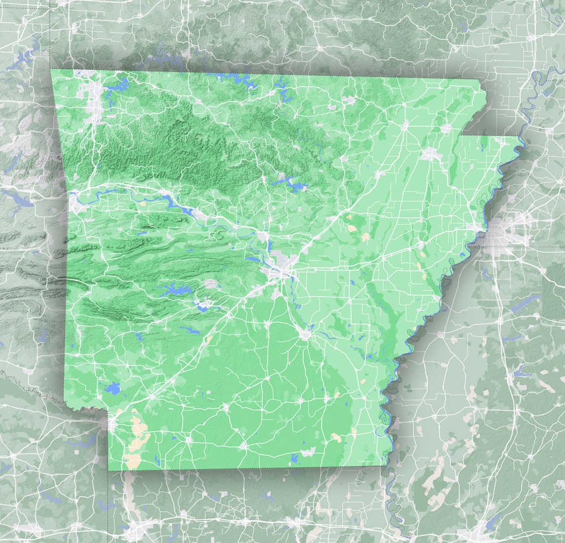
- Ozark Mountains: In the northern and western regions of the state, the Ozark Mountains unfold with their highlands, plateaus, and dense forests. The highest peak, Mount Magazine, stands tall at 2,753 feet.
- Arkansas River Valley: This valley stretches across the state, providing fertile land and hosting the meandering Arkansas River, one of the major tributaries of the Mississippi River.
- Ouachita Mountains: South of the Ozarks, the Ouachita Mountains sprawl with their unique east-west trending ridges. Here, you’ll find Hot Springs National Park, a testament to the region’s geological activity.
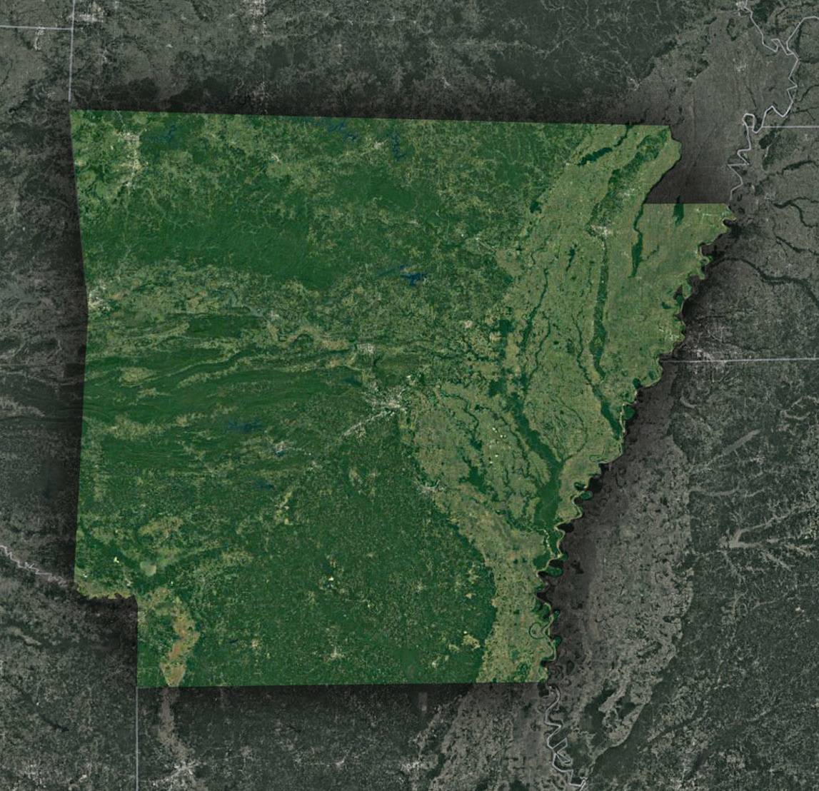
- Mississippi Alluvial Plain: In the eastern part of the state, this vast floodplain hugs the Mississippi River, presenting a contrasting flat terrain compared to the state’s mountainous regions.
The Crucial Role of Topographic Maps in Arkansas
- Adventure and Exploration: With landscapes ranging from the subterranean wonders of Blanchard Springs Caverns to the rugged trails of the Ozarks, Arkansas is an adventurer’s paradise. Topographic maps guide hikers, campers, and explorers, offering insights into terrains, elevation shifts, and potential challenges.
- Environmental Conservation: Arkansas’s diverse habitats, from wetlands to forests, are a haven for biodiversity. Conservationists utilize topographic maps to study habitats, watershed areas, and to design conservation strategies.
- Infrastructure Planning: For urban development and infrastructure projects, these maps provide invaluable information on land gradients, water bodies, and other crucial geographical details.
- Historical Exploration: Arkansas has a rich tapestry of history, from Native American settlements to Civil War battlegrounds. Topographic maps, especially older versions, offer a glimpse into the state’s evolving landscape and human settlements.
Deciphering a Topographic Map of Arkansas
Topographic maps, with their detailed markings and symbols, can seem intricate. But with some basic knowledge, they transform into enlightening tools:
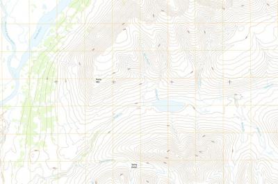
Contour Lines: The essence of topographic maps. Close lines indicate steep terrains, while lines spaced further apart denote flatter areas.
Colors: Colors give life to features. Blue often denotes water, green for forests, and brown for elevation and contour lines.
Symbols: Maps utilize symbols for different features: squares for buildings, dashed lines for trails, and more.
Setting Out on an Arkansas Adventure with a Topo Map
Equipped with a topographic map, the wonders of Arkansas beckon:
Trek in the Ozarks: Plot your journey through the Ozark Highlands Trail, understanding elevation changes and identifying pristine camping spots.
Experience the Ouachitas: Navigate through the trails of the Ouachita Mountains, locating springs and waterfalls en route.
Journey Along the Arkansas River: Follow the river’s course, identifying its tributaries and the towns it graces.
Historical Expeditions: Chart your path to landmarks like the Toltec Mounds or the Battle of Pea Ridge site, understanding their geographical context.
Arkansas, with its blend of tranquil landscapes and historical richness, offers an ever-evolving journey for those who dare to explore. Every ridge in the Ozarks, every bend in the Arkansas River, and every hot spring in the Ouachitas has a story waiting to be discovered.
Through topographic maps, these stories leap off the page, inviting explorers to partake in the symphony of nature and history that is quintessentially Arkansas. Whether you’re a hiker, historian, conservationist, or simply a curious soul, these maps are your passport to the heart of the Natural State. Dive into Arkansas’s terrains, and let the topographic tales guide your way.
Check out WhiteClouds’ 3D Maps for more information on topographic maps of Arkansas. Also available:
2D Canvas Prints of Arkansas Maps
- 2D Arkansas State Maps
- 2D Arkansas USGS Topographic Maps
- 2D Arkansas Historical USGS Topographic Maps
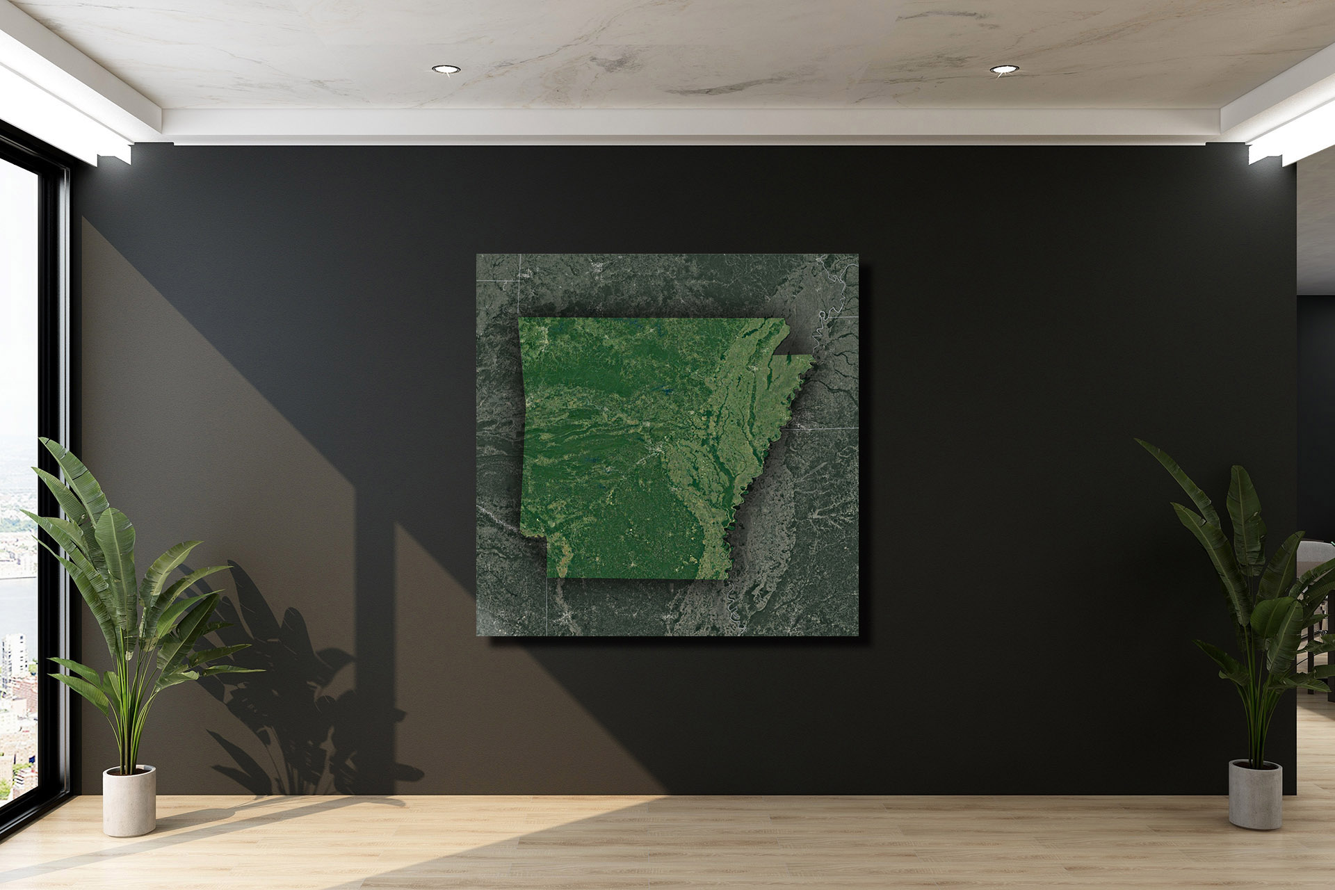
- 2D Arkansas USGS Satellite Maps
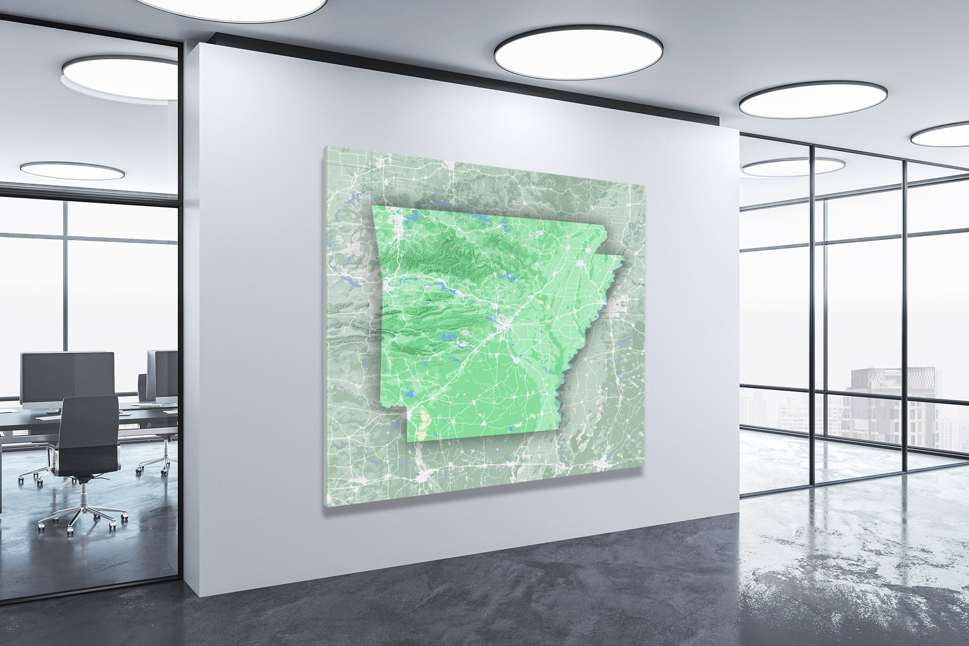
- 2D Arkansas USGS Terrain Maps
3D Raised Relief Arkansas Maps
- 3D Raised Relief-Arkansas USGS Topographic Maps
- 3D Raised Relief-Arkansas Historical USGS Topographic Maps
- 3D Raised Relief-Arkansas Satellite Maps
- 3D Raised Relief-Arkansas Terrain Maps
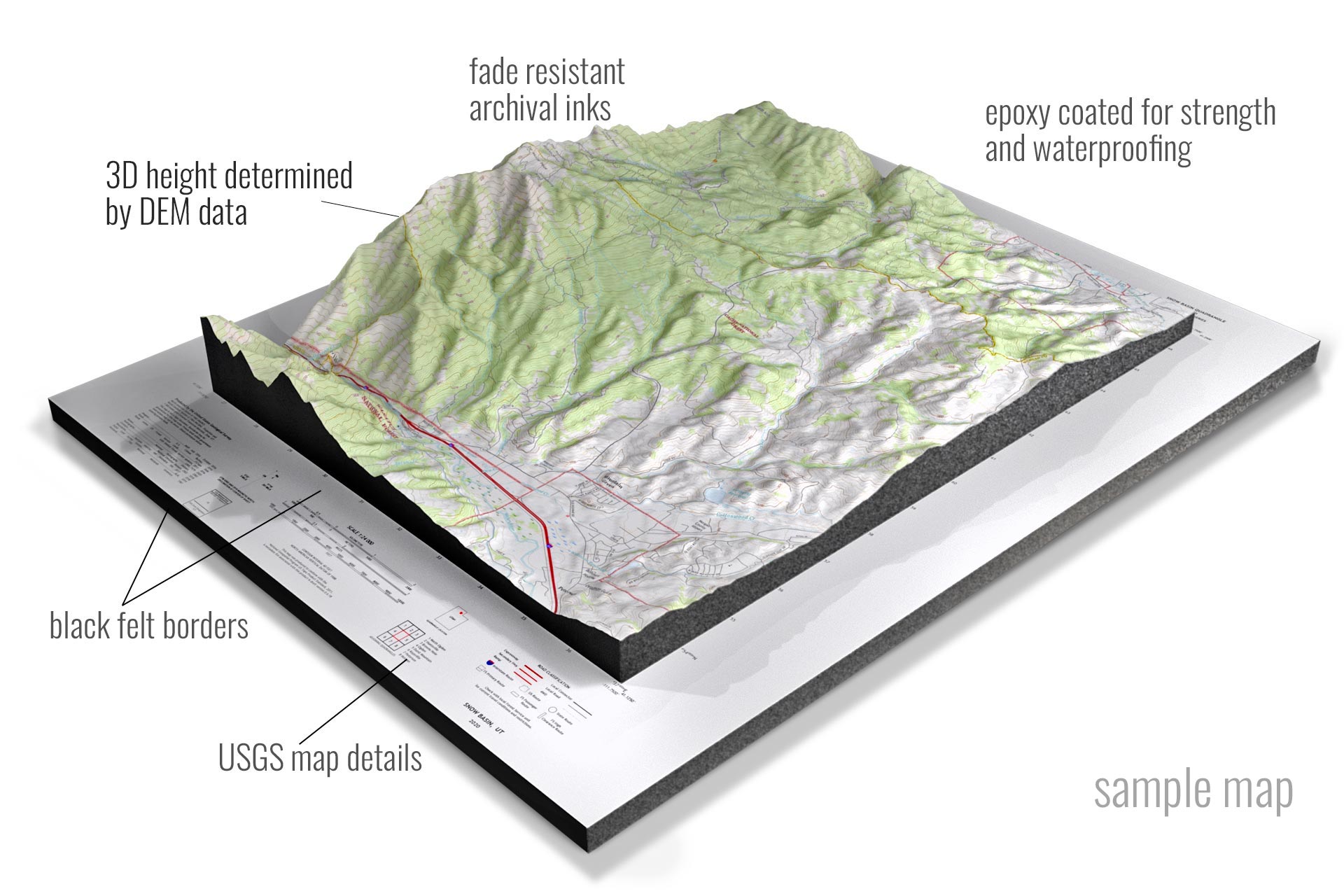 Sample 3D Topographic Map
Contact us today to learn more about our 3D services and how we can help you achieve your goals.