
North Carolina from the Heavens: Satellite Mapping the Tar Heel State
North Carolina, renowned for its rich history, lush landscapes, and coastal elegance, shines as a jewel in America’s Southeast. But have you ever envisioned this state from an entirely different perspective – from the skies above, courtesy of state-of-the-art satellite technology? Journey with us as we soar over North Carolina, unveiling the grandeur of this region from space.
A Bird’s Eye View: Unraveling Satellite Technology
At its core, satellite imagery is a marvel of modern science. It presents a unique blend of engineering and artistry, capturing high-resolution photographs from space. These snapshots allow us to gain insights into the topography, vegetation, urban landscapes, and even the climatic changes happening on our planet.

Satellite’s Dance Over North Carolina
Majestic Appalachians: North Carolina’s western frontier is adorned with the Appalachian Mountains, and through the satellite’s lens, the undulating terrains come to life. The Blue Ridge Parkway, often referred to as “America’s Favorite Drive”, appears like a sinuous ribbon carving its way through verdant landscapes.
The Piedmont Plateau’s Vibrancy: Transitioning from the mountains, the state’s central region, the Piedmont, showcases bustling cities like Charlotte and Raleigh. These urban areas, with their structured grids and green parks, stand in stark contrast to the natural curves of the mountainous regions.
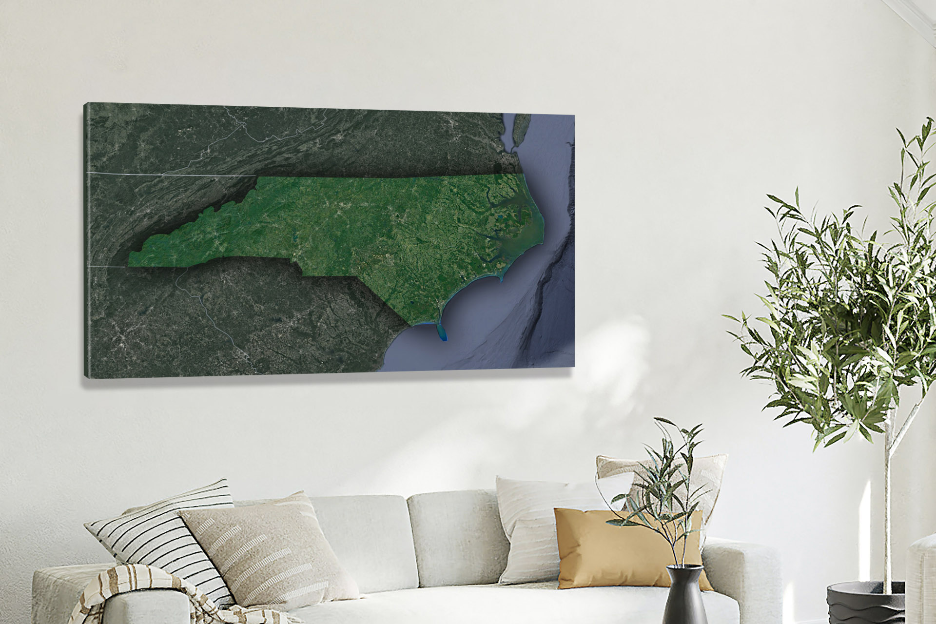
The Enigma of the Outer Banks: The satellite view captures the ethereal beauty of North Carolina’s coast, especially the Outer Banks. This series of barrier islands appears as slender threads against the vast Atlantic, with the Pamlico and Albemarle Sounds offering hues of turquoise and deep blues.
Historic Landmarks from Above: Unique landmarks, such as the Biltmore Estate in Asheville, emerge distinctly. This sprawling estate, with its intricate architecture and vast gardens, provides a glimpse into North Carolina’s rich past.
The Cape Fear River’s Odyssey: This historic river, which flows into the Atlantic near Wilmington, showcases nature’s incredible artistry. Its tributaries, marshlands, and estuaries paint a beautiful mosaic, indicative of the region’s biodiversity.
Beyond Aesthetics: Satellite Imagery’s Practical Impacts
Satellite views are more than just visual treats; they have transformative implications:
Environmental Conservation: Regions like the Great Smoky Mountains National Park and the Nantahala National Forest can be monitored for ecological health, ensuring preservation for future generations.
Urban Development: Satellite data aids city planners in Raleigh, Durham, and other expanding urban centers in creating sustainable growth models.
Coastal Management: The imagery provides insights into coastal erosion, helping in the preservation of fragile ecosystems and the management of rising sea levels.
Disaster Preparedness: With North Carolina often facing hurricanes, real-time satellite data becomes instrumental in predicting storm paths and potential flooding zones.
Gazing Ahead: Satellites and North Carolina’s Future
Satellite technology, continually advancing, promises newer dimensions of data:
Precision Agriculture: The farmlands of North Carolina can benefit from detailed imagery, facilitating optimal irrigation, pest management, and crop health monitoring.
Biodiversity Studies: Satellite insights can help in studying wildlife movements, especially in areas like Alligator River National Wildlife Refuge, ensuring their conservation.
North Carolina’s Celestial Portrait
North Carolina, in its essence, is a blend of tradition and modernity, nature and nurture. Through the unblinking eye of satellites, this state’s multifaceted beauty becomes more pronounced. From the historic sites to the coastal havens, from the bustling cities to the serene mountains, every pixel of the satellite image tells a story.
So, the next time you stroll on the beaches of the Outer Banks or hike in the Appalachians, remember that high above, satellites are capturing that very moment, crafting a timeless portrait of North Carolina’s ever-evolving grandeur.
Check out WhiteClouds’ 3D Maps for more information on satellite maps of North Carolina. 2D Canvas Print Satellite Maps of North Carolina are also available.
Contact us today to learn more about our 3D services and how we can help you achieve your goals.