
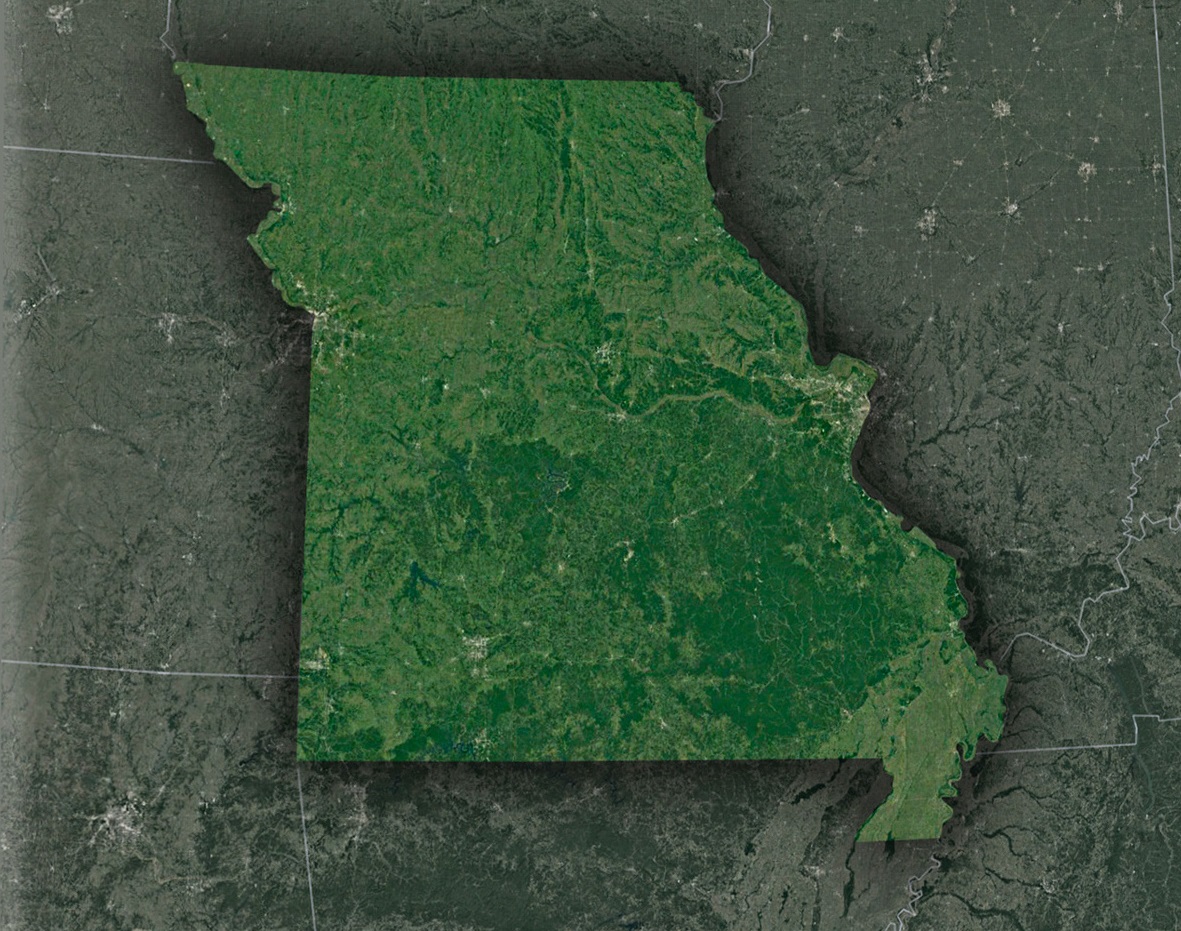
The Show-Me State from Space: Missouri’s Satellite Splendor
Missouri, located in the heartland of the United States, is a diverse and captivating state, presenting a beautiful blend of cities, rivers, hills, plains, and cultural heritage. But what magic emerges when the Show-Me State is observed from a satellite’s eye? Let’s embark on this celestial journey.
A Bird’s-Eye Introduction
As our technological prowess has soared, we’ve earned the privilege to look back at our blue planet, and more specifically, at the heartland: Missouri. From space, this state appears as a vibrant tableau, a rich mosaic of landscapes and human history woven seamlessly.
The Serenade of the Mississippi and Missouri Rivers
The Meeting of Titans: At the nexus where the roaring Mississippi intertwines with the mighty Missouri, a captivating spectacle unfolds. This confluence, as viewed from the heavens, is a dance of swirling waters, a testament to their collective power and grace. But this meeting point is more than just a geographical marvel. It stands as a testament to the historical, commercial, and ecological importance of these rivers. Over centuries, they have borne witness to the evolution of civilizations, guided trade, and determined the course of settlements. They are, in essence, the pulsing arteries of the region, nurturing its land and its people.
The Ebb and Flow of Nature: Every so often, these rivers, in their might, overflow, reshaping the contours of the land. While these floods can disrupt the rhythm of life, they are also nature’s mechanisms of rejuvenation. Through the all-seeing eyes of satellites, scientists gain invaluable insights into these flooding patterns. This bird’s-eye view assists not only in predicting potential inundations but also in devising strategies to protect communities. Moreover, it offers a unique vantage point to comprehend the intricate dynamics of these river systems.
Cities of Legends and Timeless Routes
St. Louis – The Western Beacon: Nestled on the banks of the Mississippi, the city of St. Louis stands tall with its iconic Gateway Arch. Though its detailed majesty is subdued from the cosmos, its silhouette stands as a beacon to the westward journey. The city, with its vast urban footprint, interspersed green patches, and the embracing river, narrates a story of historic importance and contemporary relevance, positioning it as an unmissable landmark in the heart of America.
The Melody of Kansas City: Kansas City, a harmonious blend of culture, commerce, and history. Known for its wide boulevards, mouth-watering barbecue, and soulful jazz rhythms, it’s a city that pulses with life. As satellites sweep over, they capture the city’s distinct urban layout, its network of highways, and the weaving river pathways, underscoring its influential role in the region.
Footprints from the Past: Journeys of yore, like the Santa Fe and Oregon trails, carved pathways of hope and determination. These historic routes, which once beckoned pioneers towards the promises of the west, have etched indelible marks upon the landscape. Some of these ancient trails, with their lasting imprints, can be glimpsed from the vastness of space, narrating tales of courage, endeavor, and exploration.
Missouri’s Varied Canvas – From Highlands to Plains
Ozark’s Whispering Tales: The undulating Ozark Mountains, with their towering plateaus, deep-seated valleys, and meandering rivers, are a sight to behold from the heavens. Each contour, ridge, and waterway whispers tales of geological epochs and nature’s artistic flair, showcasing the diverse and rich topography that Missouri proudly boasts.
Patterns of Prosperity: Gazing towards the northern plains of Missouri, a beautiful mosaic emerges. This intricate patchwork, consisting of vast farmlands, represents the state’s deep-rooted agricultural lineage. Each field, whether bathed in gold or emerald, speaks of the land’s fertility, the farmers’ toil, and Missouri’s continued legacy as a bastion of agricultural abundance and innovation.
Human Influence and Environmental Insights
Mining Scars: The Old Lead Belt, once a mining powerhouse, displays evidence of human activities, helping researchers study environmental recovery.
Conservation and Forestry: Satellite imagery reveals Missouri’s forest cover, aiding in conservation efforts, logging management, and studying seasonal changes.
Water Reservoirs: The Lake of the Ozarks and other water bodies are more than recreational hubs; they serve as water reservoirs, vital for numerous towns.
Satellites and the Modern Missourian
Agriculture and Farming: Precision agriculture, driven by satellite data, empowers Missouri farmers, optimizing irrigation, and ensuring bountiful harvests.
Urban Planning and Infrastructure: For cities like Springfield and Columbia, satellite maps provide vital data for infrastructure development and sustainable growth strategies.
Epilogue: Rediscovering the Show-Me State
Missouri’s nickname, the “Show-Me State”, is given new depth when we look from above. We see the interplay of human influence and nature’s design, the dance of rivers and roads, and the rich tapestry of history and modernity.
In space, devoid of boundaries and borders, we comprehend the state’s intrinsic beauty and its role in the larger American narrative. Missouri, when shown from the stars, tells us a tale of resilience, growth, and undeniable charm. It reminds us that while we might walk its streets, hike its trails, or sail its waters, there’s always a new perspective waiting to be discovered.
So, the next time you gaze up, know that the satellites are looking back, capturing the essence of the Show-Me State, and showing us the marvelous intricacies that make Missouri unique.
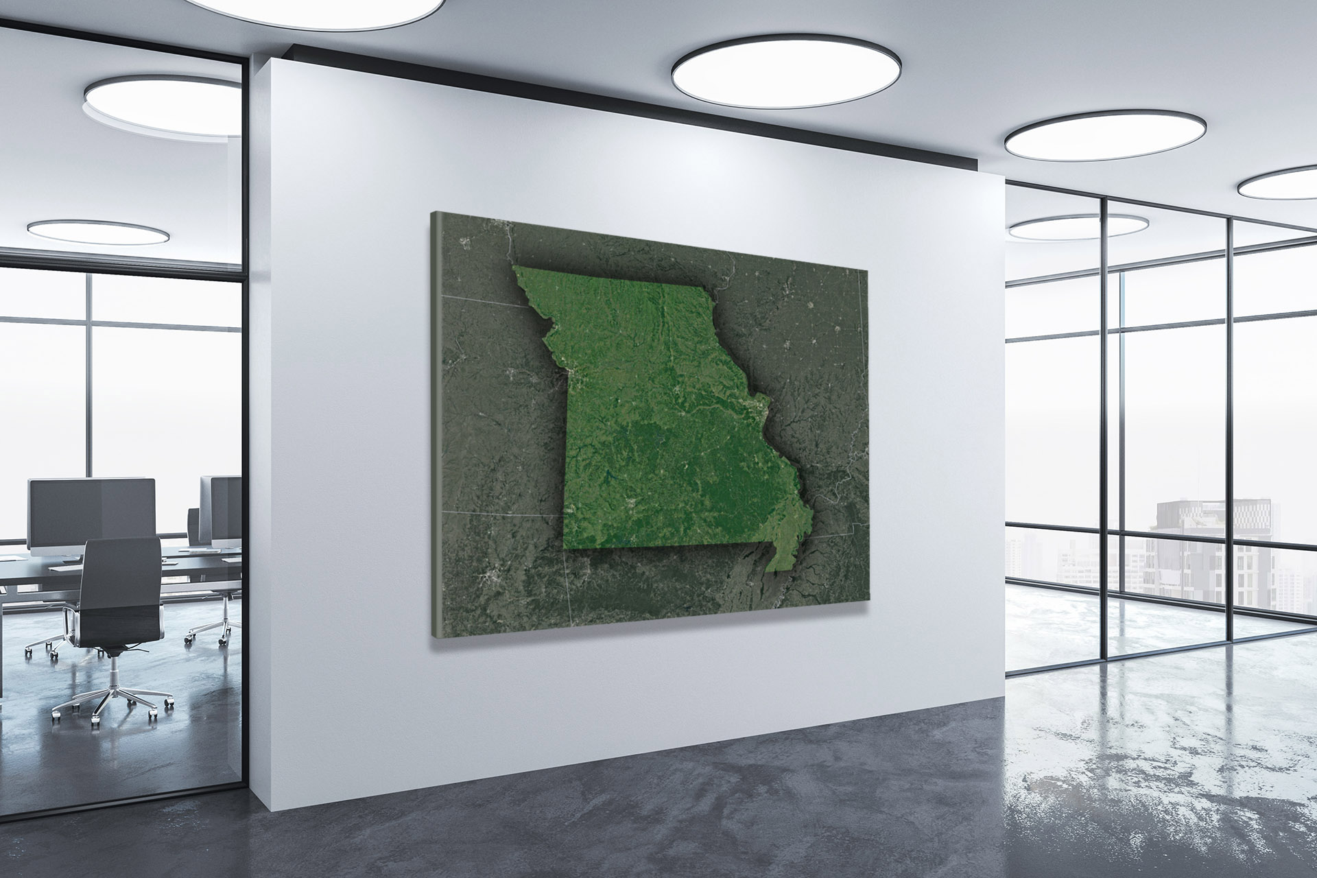
Check out WhiteClouds’ 3D Maps for more information on satellite maps of Missouri. 2D Canvas Print Satellite Maps of Missouri are also available.
Contact us today to learn more about our 3D services and how we can help you achieve your goals.