
Alaska from Above: A Cosmic Exploration of The Last Frontier
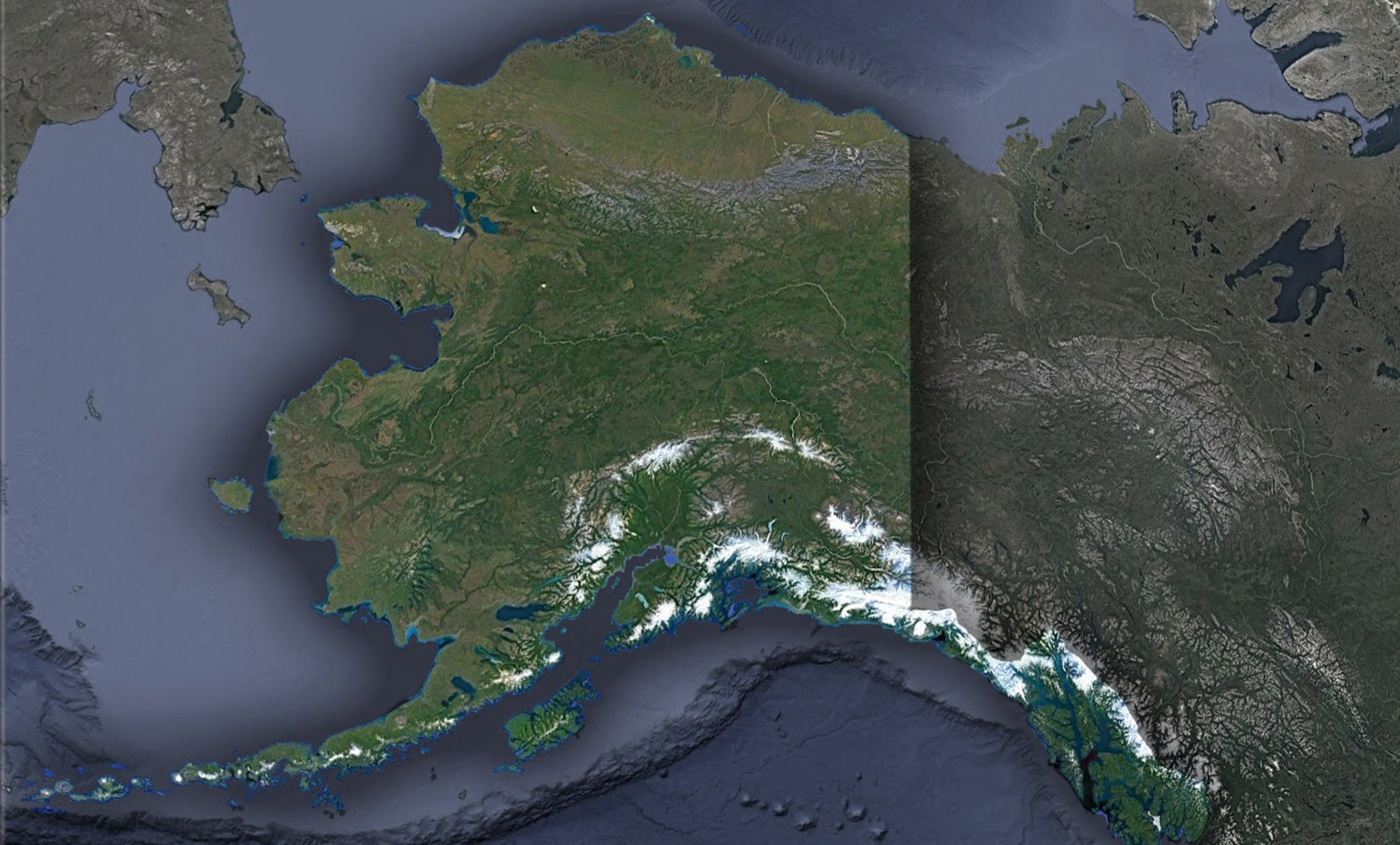
Alaska, the land of midnight sun and the northern lights, has always been revered for its raw, untouched beauty. Known as ‘The Last Frontier’, its vast expanse tells tales of ancient glaciers, roaring wildlife, and diverse native cultures. Yet, when observed from the cosmos, Alaska offers revelations that remain invisible to the terrestrial traveler. Come with us on a satellite-guided tour over Alaska’s landscapes and discover a new dimension of this Arctic wonderland.
The Prologue: Skyward Sentinels
Satellites, those intricate marvels of human ingenuity, orbit Earth, capturing detailed imagery that unveils nature’s grandeur. In the case of Alaska, satellites allow us to transcend the terrestrial barriers and bear witness to landscapes that are often inaccessible by other means.
The Satellite Saga: Delving Deep into Alaska’s Majesty
The Grandeur of the Arctic Tundra: The Arctic tundra, occupying Alaska’s northernmost frontier, is a marvel of nature’s endurance. This vast expanse, primarily consisting of mosses, lichens, and a smattering of hardy vegetation, slumbers beneath a snowy blanket for the majority of the year. However, come the fleeting Alaskan summer, it awakens in a vibrant flourish of colors. This momentary burst of life and hues is a testament to nature’s tenacity and is a visual treat best appreciated from a bird’s eye view, or in this case, a satellite’s.
The Dynamic Realm of Glacier Bay: Home to over a thousand glaciers, Glacier Bay stands as a testament to the Earth’s ever-shifting nature. Through the keen eye of satellite imagery, one can witness the intricate ballet of these glaciers, capturing moments of their advance and retreat. These ever-changing patterns not only offer visual splendor but also serve as a stark reminder of the profound effects of climate change on our natural landscapes.
The Aleutian Arc-Nature’s Pearl Necklace: The Aleutian Islands, a series of volcanic gems, stretch gracefully across the horizon, reminiscent of an artistically strung necklace. Each island, carved and molded by the raw power of volcanic eruptions, is a unique realm brimming with tales of nature’s fiery might. The satellite’s perspective magnifies their beauty, illustrating their placement as if they were pearls dropped in the vastness of the ocean.
The Boreal Heartbeat-Lungs of the North: The Boreal forests, also fondly referred to as the taiga, stand as a verdant testament to Alaska’s rich biodiversity. This vast green expanse, easily distinguishable from space, is a sanctuary to a diverse cast of wildlife. Grizzly bears, enigmatic lynxes, and a plethora of other species find solace under its canopy, making it one of the planet’s vital ecosystems.
Civilization Amidst the Untamed-Anchorage and Its Brethren: While Alaska is renowned for its untouched landscapes, it is also home to pockets of human civilization that have carved out their niches in this rugged terrain. Cities like Anchorage emerge as beacons of human spirit and innovation, their complex networks shining brightly against the backdrop of the wild. These urban pockets narrate tales of human tenacity, of communities that have not only survived but thrived in some of the world’s most challenging environments.
Satellites Serving Alaska: Beyond Beauty
- Monitoring Wildlife Migrations: Caribou, salmon, and even migratory birds are tracked, ensuring their routes remain undisturbed and populations stay healthy.
- Overseeing Fishery Activities: Satellites aid in sustainable fisheries management by monitoring sea temperatures, fish populations, and human activity.
- Tracking Ice Melt and Sea Level Changes: The Arctic is a bellwether for climate change. Satellite imagery aids scientists in understanding and predicting the consequences of rapid ice melt.
- Observing Volcanic Activities: With numerous active volcanoes, early detection of eruptions becomes crucial. Satellites play a pivotal role in this, potentially saving lives.
Alaska’s Future from the Sky
Satellites will remain instrumental in:
- Forest Management: Tracking potential forest fires or logging activities.
- Earthquake Detection: With seismic activity prevalent, early detection and warnings can be life-saving.
- Cultural Mapping: Preserving Alaska’s rich Indigenous heritage by monitoring ancient sites and ensuring they remain untouched.
Gazing at Alaska’s Celestial Reflection
Above the frigid waters, beyond the dense forests, and over the towering peaks, satellites serenade Alaska in a silent ballet. Every glacier’s movement, every river’s twist, and every forest’s whisper is a note in this cosmic melody.
When you next find yourself under the northern lights, or navigating the Yukon’s waters, remember this: high above, satellites are capturing Alaska’s soul, presenting a blend of art and science that celebrates The Last Frontier in all its glory. Through their eyes, Alaska is not just a state; it’s an epic written on the vast canvas of Earth.
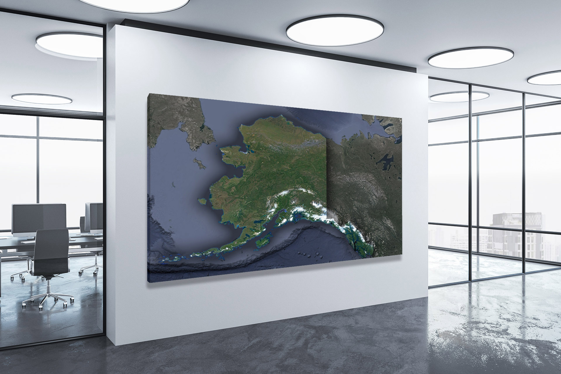
Check out WhiteClouds’ 3D Maps for more information on satellite maps of Alaska. 2D Canvas Print Satellite Maps of Alaska are also available.
Contact us today to learn more about our 3D services and how we can help you achieve your goals.