
Discovering the Grandeur of Custom Large Maps
Maps have long guided humanity through its physical surroundings, narrating stories of adventures, discoveries, and the evolution of civilizations. But when maps are enlarged to mammoth proportions and tailored to specific preferences, they transform into awe-inspiring masterpieces. Custom large maps are more than navigational tools; they’re the canvas upon which our world’s intricacies are splendidly showcased. Let’s navigate through the captivating realm of these colossal geographical wonders.
Historical Glimpse: The Allure of Maps
Before delving into the grandiosity of large maps, it’s intriguing to trace the lineage of cartography itself. From primitive cave sketches to Ptolemaic maps, and further to satellite-powered renditions, mapping has always been at the confluence of art, science, and storytelling.
Crafting a Giant Geographical Marvel
Creating a custom large map is no ordinary feat. It’s a meticulous process intertwining cartographic accuracy with artistic aesthetics:
Defining the Purpose: Whether it’s for an educational institute, a corporate office, a travel enthusiast’s den, or a public exhibition, the map’s purpose will dictate its design nuances.
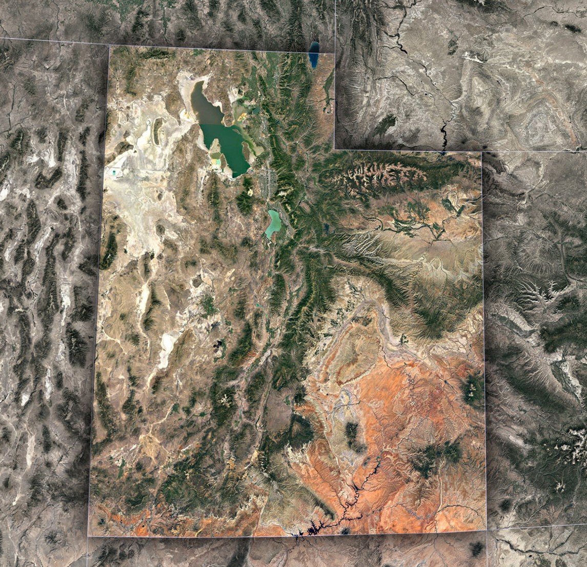
Choosing the Base: Maps can highlight political boundaries, topographical features, historical evolutions, or even thematic subjects like climate, demography, or trade routes.
Design & Aesthetics: Depending on the setting, designers may opt for vintage allure, modern minimalism, or vibrant, detailed depictions.
Precision Printing: Given their size, printing such maps demands high-resolution imagery and specialized printing techniques to ensure clarity and longevity.
Custom Touches: Personal routes, highlighted areas, interactive elements, or even LED illuminations can be added for a more personalized feel.
The Fascinating Uses of Custom Large Maps
Such expansive geographical canvases aren’t just reserved for mere admiration. They serve myriad purposes:
Educational Institutes: They foster global perspectives, enabling students to grasp geographical complexities more intuitively.
Travel Agencies & Tourism Centers: Showcasing popular destinations, routes, and regional highlights becomes an immersive experience.
Corporate Spaces: Companies, especially those with global outreach, use them to depict their reach, operational regions, or market demographics.
Public Exhibitions: For events focusing on global themes, climate change, historical evolutions, or even art, these maps make compelling centerpieces.
Personal Spaces: Travel aficionados often have these maps in their homes, marking visited places or dream destinations.
Significance in the Digital Age
Despite the proliferation of digital maps and GPS systems, the allure of physical, large-scale maps remains undiminished. Why?
Tactile Experience: The sheer joy of tracing routes with fingers, pinning locations, or annotating margins is irreplaceable.
Collective Exploration: They promote group discussions, planning sessions, or educational interactions, all centered around a single expansive visual.
Artistic Ambiance: Beyond their functional value, they add an aesthetic dimension to spaces, doubling up as art installations.
Custom large maps beautifully epitomize the confluence of precision, aesthetics, and passion. They are powerful visual tools, reminding viewers of the vastness of our world, the diversity it shelters, and the intricate web of connections that bind us all.
Whether you’re charting business strategies, teaching young minds, planning epic journeys, or simply reveling in the artistry of cartography, these maps promise a journey of discovery at every glance.
In our rapidly digitizing world, the timeless appeal of tangible, oversized maps confirm to humanity’s eternal quest for exploration and understanding. As you stand before one, let it not just guide you geographically but also inspire you to chart your unique journey, one that’s as expansive and intricate as the map itself.
Contact us today to learn more about our 3D services and how we can help you achieve your goals.