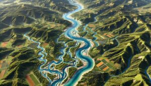
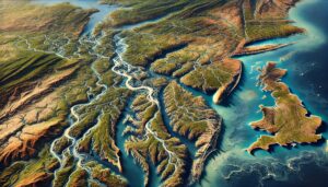
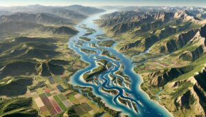
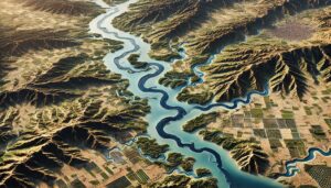
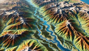
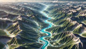
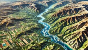
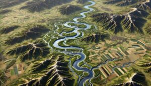
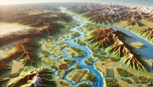
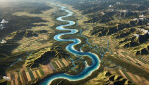
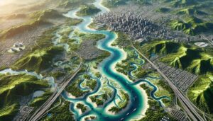
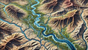
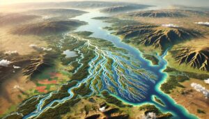
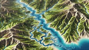
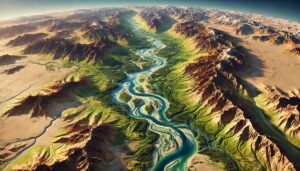
Grand River Watershed (Michigan) Map
Discover Michigan’s Grand River Watershed, a vital ecosystem supporting biodiversity, agriculture, and urban life. Explore its intricate network through the Grand River Watershed Map and learn how 3D mapping transforms understanding, aiding in sustainable management and conservation for future generations. From rolling farmlands to bustling cities, this watershed connects people and nature in remarkable ways.