- All
- Articles
- Blog
- Case Studies
- Featured
- Galleries
- Glossaries
- Products
- Services
- Top 10
- Videos

Zambezi River Watershed Map
Explore the Zambezi River Watershed, one of Southern Africa’s most iconic waterways, through advanced 3D mapping technologies. Discover its diverse ecosystems, seasonal dynamics, and how ...
Pennsylvania Topo Map
Discover Pennsylvania’s stunning geography with topographic maps revealing the rugged Appalachians, fertile Piedmont, and serene Lake Erie shores. From dramatic gorges to vibrant river valleys, ...

Lake Tanganyika Basin Watershed Map
Discover the Lake Tanganyika Basin Watershed, a vital ecosystem teeming with unique biodiversity. Learn about its complex geography, the role of cutting-edge 3D mapping, and ...
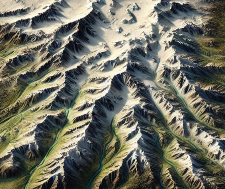
Alaska Topo Map
Discover Alaska’s majestic landscapes through detailed topographic maps that unveil towering peaks, sprawling glaciers, vast tundra, and rugged coastlines. Whether navigating Denali’s heights, exploring icy ...
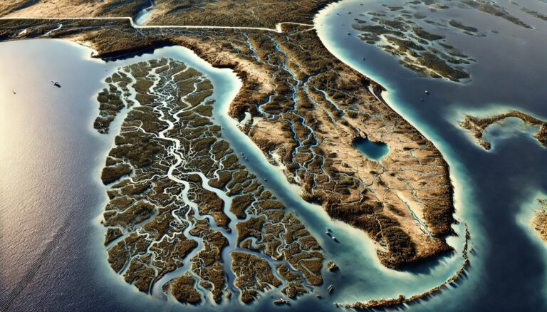
Florida Watershed Maps
Explore Florida's dynamic watersheds, where rivers, wetlands, and ecosystems converge to sustain life. Discover how 3D mapping technology is revolutionizing water management, offering crucial insights ...

Lake Baikal Basin Watershed Map
Explore the Lake Baikal Basin Watershed, a vital water system in Siberia. Discover its unique geography, rich ecosystems, and how advanced 3D mapping technology is ...

Danube River Watershed Map
Dive into the Danube River Watershed, a vital lifeline for Central and Eastern Europe, through advanced 3D mapping technologies. Discover how this river sustains diverse ...

Delaware Watershed Maps
Discover the intricate watersheds of Delaware, where rivers, streams, and wetlands sustain diverse ecosystems. Explore how 3D mapping technology is transforming water management, providing insights ...

Maryland Topo Map
Discover Maryland’s diverse landscapes with topographic maps showcasing rugged Appalachian peaks, rolling Piedmont hills, and the intricate Chesapeake Bay. From sandy Atlantic shores to fertile ...
Connecticut River Watershed Map
Discover the Connecticut River Watershed, New England’s largest, sustaining ecosystems, agriculture, and communities. Explore its intricate waterways, rich biodiversity, and cultural significance. Learn how stunning ...

Oregon Topo Map
Discover Oregon’s diverse geography with topographic maps showcasing the towering Cascades, scenic coast, fertile valleys, and rugged high desert. From the Columbia River Gorge to ...

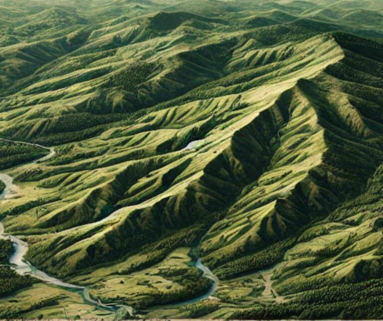
Adirondack Mountains Raised Relief Map
Experience the Adirondacks like never before with raised relief maps that bring the region's peaks, valleys, and lakes to life. Perfect for adventurers, educators, and ...

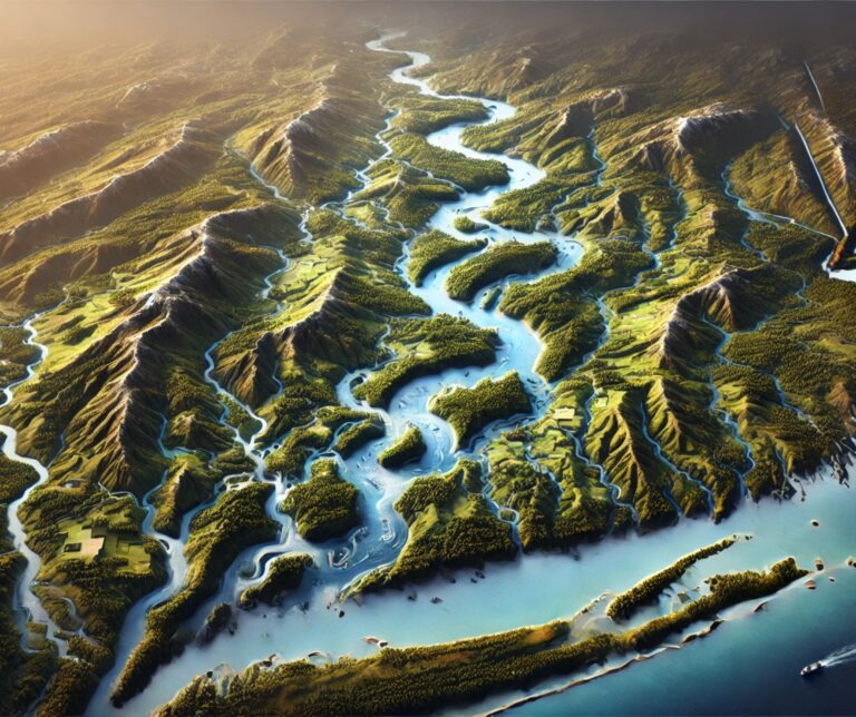
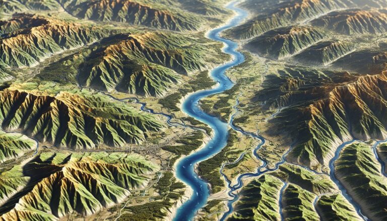
Penobscot River Watershed Map
Discover the Penobscot River Watershed Map, a gateway to Maine’s largest river system. Explore its diverse ecosystems, seasonal dynamics, and human connections brought to life ...

Oklahoma Topo Map
Discover Oklahoma’s dynamic landscapes with topographic maps showcasing the sweeping Great Plains, rugged Wichita Mountains, and lush Cross Timbers. From rolling prairies to fertile river ...

Chehalis River Watershed Map
Discover the Chehalis River Watershed Map, a vibrant gateway to Washington’s ecosystems and hydrology. Explore its diverse landscapes, seasonal dynamics, and human connections brought to ...
Ouachita River Watershed Map
Discover the Ouachita River Watershed Map, a window into the heart of the South. Unveil its dynamic ecosystems, rich biodiversity, and human connections, all brought ...
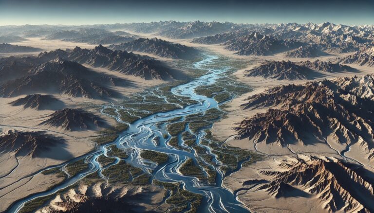
Sevier River Watershed Map
Explore the Sevier River Watershed, a vital water source in Utah. Discover how 3D mapping technology enhances water management, conservation, and flood prediction. Learn about ...

Dnieper River Watershed Map
Explore the Dnieper River Watershed, a vital water system in Eastern Europe. Learn how advanced 3D mapping technologies track water flow, support conservation, and guide ...

Ohio Topo Map
Discover Ohio’s dynamic landscapes with topographic maps revealing Lake Erie’s shores, the rolling Appalachian Plateau, and the fertile Till Plains. From historic river valleys to ...

Tanana River Watershed Map
Discover the Tanana River Watershed Map, a gateway to Alaska’s dynamic waterway. Unveil its vibrant ecosystems, seasonal shifts, and human connections, brought to life with ...

Blue Ridge Mountains Raised Relief Map
Explore the Blue Ridge Mountains with a raised relief map. Discover its peaks, valleys, and trails while learning how these 3D maps are crafted.
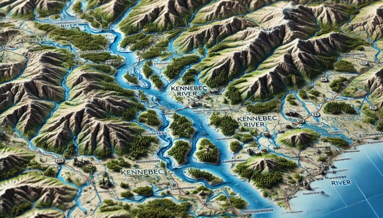
Kennebec River Watershed Map
Dive into the Kennebec River Watershed Map, a gateway to understanding Maine’s natural lifeline. Explore its vibrant ecosystems, vital hydrology, and human connections, all brought ...

California Raised Relief Map
Dive into the stunning world of California's raised relief maps, where geography comes alive in 3D. Feel the peaks, trace the valleys, and explore iconic ...

Raised Relief Map of the World
Experience Earth’s landscapes in 3D with a raised relief map of the world. Explore towering mountains, vast plains, and deep oceans in stunning detail. Perfect ...
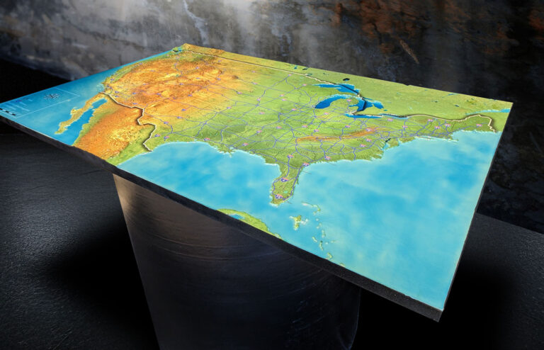
Raised Relief Map of the United States
Explore the United States in stunning 3D with a raised relief map that brings its mountains, rivers, and plains to life. Perfect for education, adventure ...

Great Basin Watershed Map
Discover the Great Basin Watershed, a unique water system in the American West. Learn how 3D mapping technology enhances water management, flood prediction, and conservation ...

Tuvalu Watershed Maps
Tuvalu’s watersheds, including its groundwater and rainwater harvesting systems, are essential for freshwater supply. Learn how modern technologies like 3D mapping, GIS, and remote sensing ...
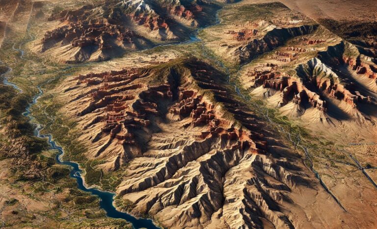
Arizona Raised Relief Map
Experience Arizona's breathtaking landscapes with a raised relief map! From the Grand Canyon's depths to the Sonoran Desert's vastness, these 3D maps bring every peak, ...