
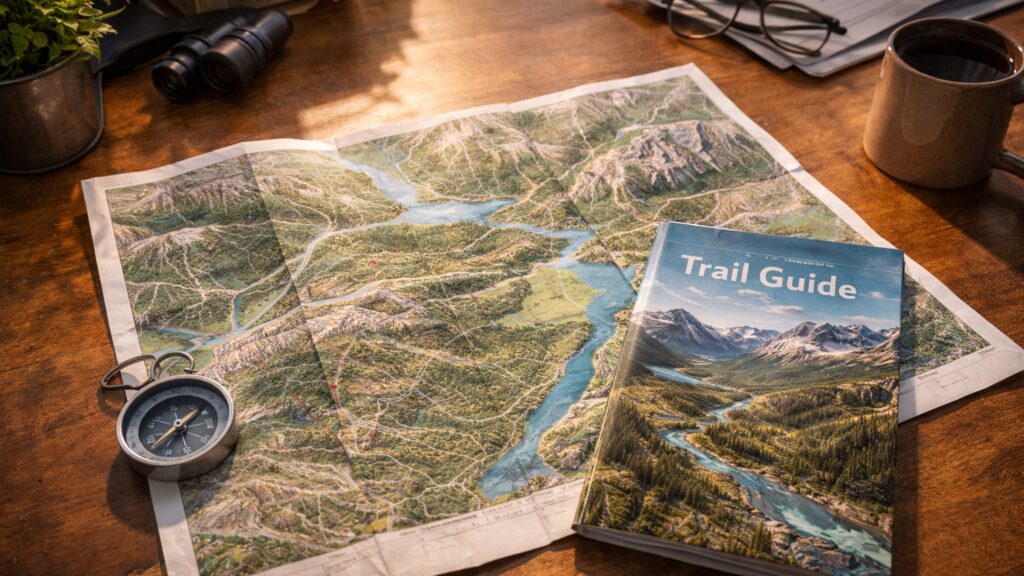
What Is a National Park Map? A Visitor’s Guide to Navigating Protected Landscapes
A national park map is more than a folded piece of paper or a downloadable file on your phone. It’s a gateway to discovery, a safety tool, a storyteller, and a silent guide that helps millions of visitors explore some of the most extraordinary landscapes on Earth. From towering mountain ranges and winding rivers to quiet trails and hidden overlooks, national park maps reveal how nature, history, and human stewardship intersect. Whether you’re planning a once-in-a-lifetime road trip, navigating a backcountry trail, or simply dreaming from your couch, understanding what a national park map is—and how to use it—can transform the way you experience protected landscapes. These maps don’t just show where things are. They show how parks work, how ecosystems connect, and how visitors can move through wild spaces responsibly. This article explores what national park maps are, how they’re designed, why they matter, and how they’ve evolved into essential tools for both adventure and conservation.
The Basic Definition of a National Park Map
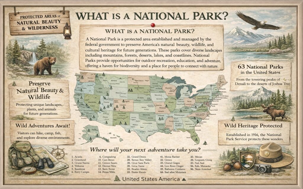
A national park map is an official or informational map designed to help visitors understand the layout, features, and regulations of a national park. It visually represents trails, roads, landmarks, natural features, visitor facilities, and protected zones within park boundaries.
Unlike general road maps, national park maps are purpose-built. They focus on terrain, elevation, ecosystems, and access points rather than speed or efficiency. Their goal isn’t just navigation—it’s orientation, education, and preservation.
Most national parks provide maps through visitor centers, entrance stations, official websites, and mobile apps. Some are simple overview maps, while others are highly detailed topographic or trail-specific guides.
Why National Park Maps Exist
National parks are vast, complex environments. They include wilderness areas, sensitive habitats, historical sites, recreational zones, and restricted regions that require protection. Without clear guidance, visitors could easily become lost, damage fragile ecosystems, or miss key experiences entirely.
National park maps exist to balance access and protection. They help visitors move safely and responsibly through parks while minimizing environmental impact. They also support park management by clearly defining boundaries, trails, and use areas. In many ways, a national park map is a quiet agreement between people and nature—an understanding of where exploration is encouraged and where restraint is essential.
What National Park Maps Typically Show
Most national park maps include a blend of natural and human-made features. You’ll often see mountains, rivers, lakes, forests, canyons, and coastlines depicted alongside roads, trails, campgrounds, ranger stations, and visitor centers.
Maps may also highlight scenic overlooks, historic landmarks, waterfalls, and wildlife viewing areas. In larger or more remote parks, maps often include elevation contours to show changes in terrain and help visitors gauge trail difficulty.
Many maps also mark restricted areas, seasonal closures, and protected habitats. These elements remind visitors that parks are living environments, not just recreational spaces.
Different Types of National Park Maps
Not all national park maps serve the same purpose. Overview maps provide a broad look at the park, showing major roads, regions, and attractions. These are ideal for trip planning and first-time visitors.
- Trail maps zoom in on hiking routes, showing distances, elevation gain, junctions, and landmarks. These maps are critical for safety, especially in parks with rugged terrain or limited cell service.
- Topographic maps focus on elevation and landforms, using contour lines to represent changes in height. These are especially useful for backcountry hikers, climbers, and explorers venturing off the beaten path.
Some parks also offer thematic maps, such as wildlife habitat maps, geological maps, or historical maps that highlight cultural features and stories tied to the land.
How to Read a National Park Map
At first glance, national park maps can seem dense with information. But once you understand their structure, they become intuitive tools.
- The legend is your starting point. It explains symbols for trails, roads, campgrounds, water sources, and facilities. Colors often represent different land types, elevations, or management zones.
- Scale is another critical element. It shows how distance on the map translates to distance on the ground, helping visitors plan hikes and travel times realistically.
- Contour lines on topographic maps indicate elevation. Lines close together signal steep terrain, while lines spaced farther apart suggest gentler slopes.
National Park Maps and Visitor Safety
One of the most important roles of a national park map is safety. Parks often contain remote areas with limited access to emergency services. Weather can change quickly, and terrain can be unforgiving. Maps help visitors understand trail lengths, elevation changes, water availability, and exit points. They also show ranger stations and emergency access roads, which can be crucial in unexpected situations. Even in the age of GPS and smartphones, park maps remain essential. Batteries die, signals disappear, and printed maps don’t crash or lose reception.
How National Park Maps Shape the Visitor Experience
A well-designed map doesn’t just prevent confusion—it enhances exploration. By showing trail networks, scenic routes, and points of interest, maps encourage visitors to venture beyond the obvious.
Maps help travelers discover quieter trails, hidden viewpoints, and lesser-known features. They allow visitors to tailor experiences to their interests, whether that’s hiking, wildlife watching, photography, or historical exploration. In this way, national park maps shape how people interact with nature, guiding both movement and curiosity.
The Role of Maps in Conservation
National park maps play a subtle but powerful role in conservation. By clearly marking designated trails and use areas, maps help protect fragile ecosystems from accidental damage.
They also communicate park rules visually. Restricted zones, seasonal closures, and protected habitats are easier to respect when they’re clearly defined on a map.
Some maps even educate visitors about ecosystems, geological formations, and wildlife corridors, fostering a deeper appreciation for the land and the importance of preservation.

National Park Maps vs. General Travel Maps
While general travel maps focus on efficiency and connectivity, national park maps prioritize context and experience. They’re less concerned with the fastest route and more focused on the landscape itself.
Roads on park maps often follow natural contours rather than straight lines. Distances are shown alongside elevation changes. Natural features are given equal or greater prominence than infrastructure.
This difference reflects the purpose of national parks: not just to get from point A to point B, but to experience the journey in between.
Digital National Park Maps and Technology
Modern technology has expanded how visitors interact with national park maps. Many parks now offer interactive online maps that allow users to zoom, filter, and explore different layers of information. Mobile apps provide GPS-enabled maps that show real-time location, trail progress, and nearby points of interest. Some even offer offline access for areas without cell service. Despite these advances, digital maps are designed to complement, not replace, traditional maps. The best-prepared visitors often carry both.
How National Park Maps Are Created
Creating a national park map is a collaborative process. Cartographers, park rangers, geologists, ecologists, and planners all contribute to ensure accuracy and clarity.
Maps must balance detail with readability. Too much information can overwhelm users, while too little can create confusion. Designers carefully choose symbols, colors, and scales to communicate complex landscapes effectively.
Updates are frequent. Trails change, facilities move, and environmental conditions evolve, requiring maps to remain living documents rather than static artifacts.
Historical National Park Maps
Early national park maps were often hand-drawn, artistic representations of landscapes. They combined navigation with illustration, capturing the spirit of the land as much as its geography.
These historic maps are now prized for their beauty and insight into how parks were once perceived. Comparing old and modern maps reveals how understanding of ecosystems, boundaries, and conservation priorities has evolved. In many ways, national park maps are historical records as much as navigational tools.
Why National Park Maps Matter to Everyone
You don’t have to visit a national park to benefit from its map. These maps offer insight into geography, environmental stewardship, and public land management. They help students learn about ecosystems, planners understand land use, and travelers dream about future adventures. They also remind us that protected landscapes are carefully managed spaces, not untouched wilderness. National park maps connect people to nature, even from afar.
Common Misconceptions About National Park Maps
One common misconception is that maps are only for hikers. In reality, maps serve drivers, campers, photographers, families, and casual visitors alike. Another misunderstanding is that digital maps make printed maps obsolete. While technology adds convenience, traditional maps remain critical in remote environments. Some people also assume all park maps are the same. In truth, each park’s map reflects its unique geography, challenges, and priorities.
How National Park Maps Influence Trip Planning
A national park map often shapes a trip before it even begins. Travelers use maps to choose which entrances to use, where to stay, and which areas to explore. Maps reveal distances between attractions, helping visitors plan realistic itineraries. They also highlight seasonal considerations, such as closed roads or high-altitude routes affected by weather. Good planning starts with a good map.
National Park Maps as Storytelling Tools
Beyond navigation, national park maps tell stories. They show how rivers carved valleys, how glaciers shaped mountains, and how humans have interacted with the land over time.
By including historical sites, cultural landmarks, and interpretive information, maps connect visitors to the deeper narrative of each park. Every trail line and symbol represents a chapter in the park’s story.
The Bigger Picture: Maps as Guardians of Wild Places
At their best, national park maps are guardians of wild places. They guide exploration while protecting what makes parks special. They empower visitors to explore responsibly, appreciate complexity, and understand boundaries. They turn vast, intimidating landscapes into accessible, meaningful experiences. A national park map isn’t just about where you are. It’s about how you belong within a landscape that’s been set aside for everyone, forever.


