
What Is a Hunting Map? A Quiet Sheet of Paper That Changes Everything
There is something magical about unfolding a hunting map for the first time. It feels like opening a doorway into a living, breathing landscape—one that hides trails, valleys, ridgelines, feeding zones, bedding cover, and centuries of wild movement. To the untrained eye, it may look like a confusing collection of lines, colors, and symbols. To a hunter, it is a storybook written by terrain, weather, and wildlife. A hunting map is not just a navigation tool. It is a planning partner, a safety net, a strategic guide, and often the difference between wandering aimlessly and hunting with confidence. Whether you pursue whitetails in the Midwest, elk in the Rockies, or upland birds across open plains, a hunting map is your window into the invisible world beneath the trees and over the next ridge. Understanding what a hunting map is—and how to use it—can transform how you move through the wild. It helps you read the land before you ever step onto it and gives you the power to hunt smarter, safer, and more ethically.
What Is a Hunting Map, Really?
At its core, a hunting map is a specialized map designed to show hunters the features that matter most in the field. It goes beyond basic road or trail maps by revealing land ownership, topography, access points, boundaries, habitat types, water sources, elevation changes, and often animal movement corridors.
Unlike general road maps or tourist trail maps, hunting maps are built with decision-making in mind. They are meant to help you choose where to park, where to hike, where animals are likely to travel, and where you are legally allowed to hunt. They help you visualize the terrain as if you were already standing in it.
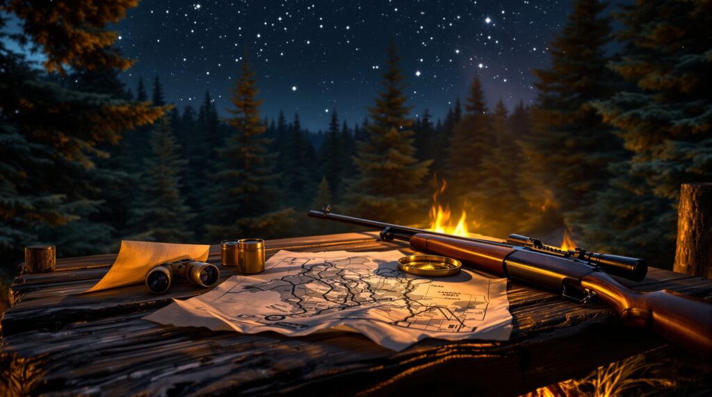
Some hunting maps are printed and waterproof. Others are digital and live inside your phone or GPS device. Many modern versions allow you to layer satellite imagery, contour lines, public land boundaries, and even weather patterns. No matter the format, the purpose remains the same: to turn raw land into understandable strategy.
Why Every Hunter Needs a Map
Before maps became widely available, hunters relied on memory, instinct, and word-of-mouth directions. Today, landscapes are more complex, access rules change, and boundaries are often invisible. A hunting map removes guesswork and replaces it with clarity.
It shows you where public land begins and ends so you don’t accidentally trespass. It reveals how steep a ridge really is, how deep a ravine runs, and where water collects after rain. It helps you plan safe routes in and out, especially in unfamiliar or remote areas. It also saves time by guiding you toward areas that actually hold potential. More than anything, a hunting map gives you confidence. You walk into the woods knowing you are not lost—you are informed.
The Anatomy of a Hunting Map
Every hunting map is made up of layers that work together like pieces of a puzzle. Once you understand what each layer represents, the map becomes easier to read.
Topographic lines show elevation and slope. Closely spaced lines indicate steep terrain, while wide spacing signals gentle ground. Land ownership boundaries tell you where public and private lands meet. Vegetation shading reveals forest types, open fields, wetlands, and agricultural areas. Water features mark creeks, ponds, rivers, and seasonal streams.
Access points, trails, roads, and parking areas show you how to enter and exit. Some maps also display game management zones, unit boundaries, and restricted areas. When combined, these layers create a three-dimensional mental image of the landscape.
How Animals Move Through the Map
Animals follow the land just as much as hunters do. They use ridgelines for travel, valleys for shelter, saddles for crossings, and water sources for daily movement. A hunting map allows you to see these natural pathways before you ever spot a track.
Whitetails often move along edges between thick cover and open feeding areas. Elk favor benches and north-facing slopes during warmer months. Upland birds gravitate toward grasslands near water and food. When you learn to connect animal behavior with map features, the landscape becomes a living blueprint instead of an empty space.
Printed Maps vs Digital Maps
Traditional paper maps still have a loyal following. They never run out of battery, work in extreme cold, and offer a wide overview of large areas. Many are waterproof and tear-resistant, making them reliable companions in harsh conditions.
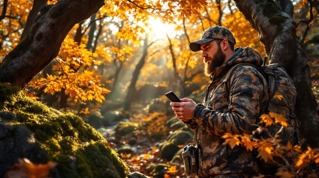
Digital maps, however, have changed the game. They allow you to zoom, drop pins, measure distances, track routes, and even view offline maps in remote areas. Satellite imagery gives you a bird’s-eye view of the terrain, while GPS shows your exact location in real time.
Most hunters today use a combination of both, relying on digital tools for planning and navigation while keeping a printed backup in case technology fails.
Planning a Hunt Before You Leave Home
The true power of a hunting map is unlocked before the hunt begins. At home, you can study terrain, mark potential stand locations, identify travel corridors, and choose access routes that minimize disturbance.
You can plan where to park, how far to hike, and which ridges or drainages to explore. You can see how wind direction might affect scent travel and how elevation changes influence animal movement. This preparation turns your hunt into a calculated experience rather than a random walk.
Using a Hunting Map in the Field
In the field, your map becomes your silent guide. It helps you adjust when conditions change. If the wind shifts, you can quickly choose a new approach. If a trail is blocked, you can find an alternate route. If animals move differently than expected, you can analyze the terrain and adapt. With a digital map, you can track where you’ve been and avoid retracing steps. You can mark sightings, scrapes, wallows, and bedding areas for future reference. Over time, your map becomes a personal hunting journal layered over the land.
Safety, Ethics, and Legal Awareness
A hunting map is also a safety tool. It prevents you from wandering into dangerous terrain or restricted zones. It helps you avoid private property and respect land boundaries. It can even guide emergency responders if you share your location.
Ethical hunting begins with knowing where you are allowed to hunt and how to move through the land responsibly. A map supports that responsibility by making invisible rules visible.
How Technology Is Redefining Hunting Maps
Modern hunting maps are evolving rapidly. Some integrate weather data, moon phases, and historical movement patterns. Others allow you to share routes with friends or sync across devices. Artificial intelligence is beginning to analyze terrain and suggest likely hotspots based on animal behavior. Despite these advances, the heart of a hunting map remains unchanged. It is still about understanding the land and respecting the wild spaces that sustain us.
The Map as a Story of the Land
Every contour line, creek bend, and forest edge tells a story. A hunting map is not just about finding animals—it is about learning the rhythms of the land. It teaches patience, observation, and respect. When you unfold a hunting map, you are not just planning a hunt. You are stepping into a deeper relationship with the wild.


