
What Is a Backpacking Map? Your Ultimate Guide to Navigating Adventure
Imagine standing at the edge of a vast wilderness—mountains rolling into the distance, pine-scented air crisp and cool, the only sound the wind whispering through trees. In that moment, technology fades away. The glowing blue dot on your phone might vanish as your signal dies, and suddenly, you’re left with something ancient and powerful: the map in your hand. That’s the essence of backpacking. It’s not just about getting from point A to point B—it’s about exploring the in-between, discovering yourself in nature’s quiet, and trusting your instincts to guide you home. And at the heart of that trust lies the backpacking map, an essential companion that connects adventure and safety in one foldable form. So, what exactly is a backpacking map? It’s more than paper. It’s your adventure’s storyteller, survival tool, and key to unlocking the wild. Let’s unfold the full picture.
Defining a Backpacking Map: The Art of Navigation
A backpacking map is a specialized topographic map designed for hikers, trekkers, and explorers traveling on foot through natural terrain. Unlike road maps or city guides, these maps emphasize elevation, land features, trails, water sources, and natural obstacles. They translate the living landscape into lines, colors, and symbols—a language of mountains, rivers, and ridgelines that you learn to read and trust.
A good backpacking map shows not only where you are, but what surrounds you: the slope of a hill, the course of a stream, the curve of a valley, or the crossing of trails. It becomes your window into terrain you haven’t yet walked—helping you plan routes, find campsites, locate water, and even anticipate weather changes based on topography. But beyond its practicality, a backpacking map captures something intangible. It represents freedom—the ability to wander anywhere, guided only by your own knowledge and courage.
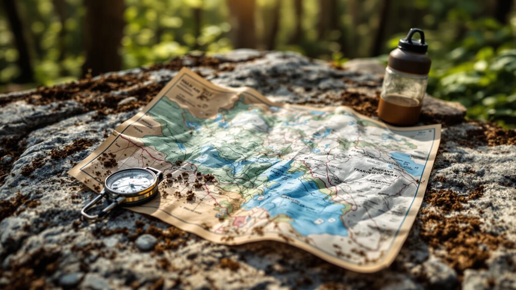
The Anatomy of a Backpacking Map
Every backpacking map tells a story through its design. Look closely, and you’ll see a symphony of details, each piece critical for survival and exploration.
The contour lines—those graceful brown squiggles—reveal the shape of the land. The closer they are together, the steeper the terrain; the farther apart, the gentler the slope. Blue lines and shapes trace rivers, lakes, and springs, while green patches show forests and vegetation. Red and black lines often mark trails, boundaries, and landmarks.
You’ll also notice scale, a key element that determines how much area the map covers. A 1:24,000 scale map (common for hiking) means one inch equals 24,000 inches in reality—about 2,000 feet. The finer the scale, the more detailed the map. Most backpacking maps also include a legend, your secret decoder ring that explains every symbol and line style, plus a compass rose that orients you with magnetic north. Together, they turn a flat piece of paper into a living, breathing landscape.
The History of Backpacking Maps: From Pioneers to GPS Age
Before GPS, before smartphones, before satellites—there was the compass and the map. Early explorers, mountaineers, and cartographers relied entirely on hand-drawn maps created through painstaking observation. These early backpacking maps weren’t just navigation tools; they were feats of endurance and artistry.
In the 1800s, national survey programs like the U.S. Geological Survey (USGS) began producing topographic maps—a breakthrough that would transform outdoor exploration. For the first time, adventurers could study precise terrain data before stepping onto a trail.
Throughout the 20th century, backpacking culture exploded. The rise of the Sierra Club, national park systems, and wilderness exploration in North America and Europe created a demand for durable, portable maps designed for rugged use. Waterproof coatings, foldable materials, and detailed elevation markings made them indispensable for long-distance hikers.
Today, digital maps and GPS apps coexist with traditional paper maps—but seasoned backpackers know: batteries die, screens crack, and signals vanish. A physical backpacking map never does. It’s always ready, always reliable, and doesn’t care how many bars of reception you have.
Reading the Land: How to Interpret a Backpacking Map
Reading a backpacking map isn’t difficult—it’s a skill built through curiosity and practice. Every symbol and line is a clue, every curve a story waiting to be understood.
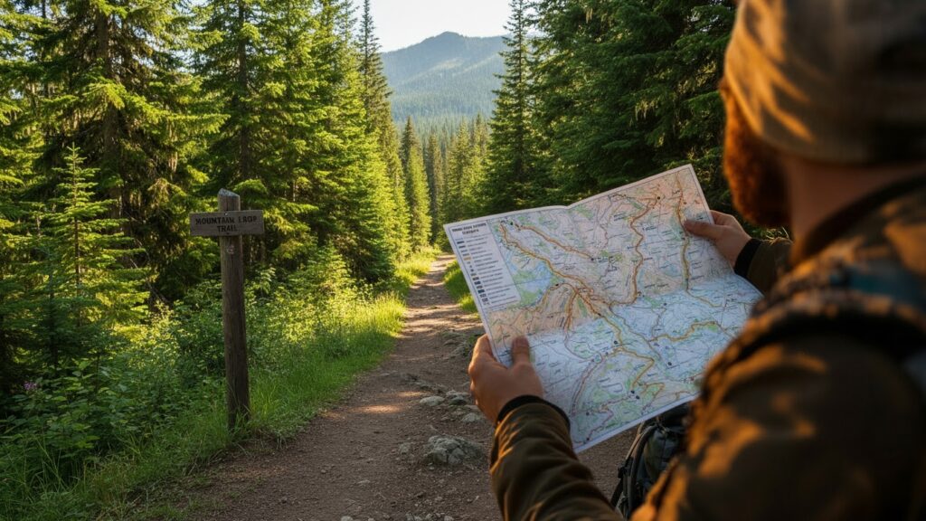
Start with orientation. Use a compass or natural landmarks to align your map so that north on the paper matches north in the real world. Once aligned, the landscape unfolds before you in miniature form.
Contour lines are your best friends. Learn to visualize the terrain they describe. When the lines form tight circles, you’re looking at a peak. When they form a U or V shape, you’re likely near a valley or stream. The way those lines flow across the map tells you how the land rises, dips, and twists—information critical for route planning.
Water features—rivers, lakes, springs—are essential for hydration planning. Knowing where your next refill point lies can be the difference between comfort and crisis.
And don’t overlook trail markers. Dashed or solid lines show footpaths, sometimes annotated with distances or elevation changes. Intersections, campsites, or viewpoints may be marked with small icons, guiding you through nature’s labyrinth.
Once you’ve mastered reading these signs, the wilderness no longer feels random—it feels readable.
The Different Types of Backpacking Maps
Not all maps are created equal, and knowing which type to use can make or break your journey.
Topographic Maps: These are the backbone of backpacking. They show elevation, contour lines, and natural features in exquisite detail. Perfect for route planning and off-trail navigation.
Trail Maps: Simplified versions of topo maps that highlight established trails, campsites, and points of interest. Ideal for beginners or shorter hikes.
Wilderness Maps: Broader area maps that include protected zones, forest boundaries, and backcountry regulations.
Custom or Digital Maps: Apps and GPS tools like Gaia GPS, AllTrails, and CalTopo allow you to create personalized maps, layering satellite imagery or route overlays on topographic data.
Even with all these digital options, most backpackers still carry a printed version—a trusty backup that folds, not fails.
The Relationship Between Map and Compass
If the backpacking map is your eye, the compass is your sense of direction. Together, they form the most reliable navigation duo in outdoor history. By using triangulation, you can pinpoint your location on a map using visible landmarks and compass bearings. By taking a bearing from your current position, you can chart a precise course through the wilderness—even without trails. It’s a simple, elegant partnership that has guided mountaineers, scouts, and explorers for centuries. The beauty of map-and-compass navigation lies in its independence: no batteries, no updates, no digital dependency—just human skill and natural intuition.
Planning with a Backpacking Map
Before stepping onto the trail, your backpacking map is your blueprint for adventure. It helps you plan every stage: from how far you’ll travel each day to where you’ll rest, refill, and camp.
Start by tracing your route. Mark trailheads, water sources, and potential campsites. Calculate elevation gain to estimate difficulty and pace. Identify emergency exits—side trails or roads you could reach if weather turns or injury strikes.
A good backpacker studies the map like a detective before ever setting foot outdoors. They memorize landmarks, ridgelines, and river crossings. This pre-trip study transforms the journey from guesswork to guided confidence. And remember: the best plans are flexible. The wild is unpredictable, and your map helps you adapt—finding alternative routes when storms, fires, or closures alter your course.
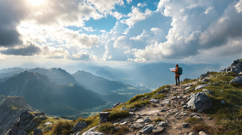
Map in Hand: Navigating the Wild
Once you’re on the trail, the backpacking map becomes an extension of your senses. Every glance tells you where you’ve been and where you’re going. Periodically stop to reorient. Compare the map to the terrain—do the hills, valleys, and streams around you match the contours on paper? Are you following the right ridgeline? Is that distant peak the same one marked on your route?
By checking regularly, you avoid “drift,” the gradual misalignment that can lead to getting lost. And if you ever do feel disoriented, don’t panic—pull out your map and retrace your steps. Look for obvious landmarks, like rivers or distinct elevation features, that can confirm your position. The map doesn’t just guide—it reassures. It’s the calm voice in the wilderness reminding you: “You’re still on track.”
Waterproof, Tearproof, Trailproof
Modern backpacking maps are designed for resilience. Most are printed on waterproof, tear-resistant materials like synthetic Tyvek or plasticized paper. These maps survive rain, sweat, snow, and endless folding—because nature rarely offers ideal conditions.
Some are coated with UV protection to prevent fading under harsh sunlight, while others are double-sided to include expanded coverage or detailed insets for popular routes.
Treat your map like essential gear. Store it in a waterproof sleeve or zip bag, fold it carefully, and always keep it accessible—not buried deep inside your pack. A map is only useful if you can grab it when you need it most.
The Digital Side of Backpacking Maps
Technology has brought backpacking maps into the digital age. GPS devices, smartwatch apps, and smartphone tools now allow you to download topographic data, track real-time routes, and even overlay weather forecasts.
Platforms like Gaia GPS, AllTrails, CalTopo, and OnX Backcountry offer downloadable maps for offline use, ensuring navigation even when cell service disappears. Digital maps can display your live position, record your mileage, and track elevation gain—features that can be invaluable on complex routes.
However, relying solely on digital devices is risky. Batteries drain faster in cold weather, and devices can malfunction when dropped or wet. That’s why experienced backpackers always pair technology with a traditional paper map. One is for convenience; the other is for survival.
Learning to Trust Your Map
There’s an emotional side to navigation that only time in the wild teaches you. At first, your map might feel like a puzzle—too many lines, too much information. But the more you use it, the more intuitive it becomes. Soon, you’ll find yourself reading terrain like a story. You’ll start recognizing contour shapes that signal a saddle between peaks or a hidden meadow ahead. You’ll understand how a river’s curves predict valleys and how elevation patterns reveal unseen vistas. The moment you navigate confidently—without second-guessing—is the moment you become a true backpacker. That bond between you and your map isn’t just technical; it’s spiritual. It’s trust earned through miles, sweat, and experience.
When Maps Save Lives
Maps aren’t just guides; they’re lifelines. In remote backcountry, weather can shift in minutes. A wrong turn can mean miles off-course. Your map is what helps you find safety when trails vanish under snow or fog. There are countless stories of hikers surviving because they had a map—and knew how to read it. It helps you find high ground during floods, identify alternate routes during wildfires, and locate streams during dry spells.
In emergencies, a map also helps rescuers. Knowing your coordinates, landmarks, or trail intersections can mean faster recovery and greater safety. Carrying a backpacking map isn’t optional—it’s an act of preparation and respect for nature’s unpredictability.
The Beauty of Paper: Why Analog Still Wins
In an age of digital dominance, there’s something grounding about a paper map. The sound of it unfolding. The smell of rain on waterproof paper. The tactile act of tracing a finger across ridgelines and imagining what lies ahead. A physical map forces you to engage—to think, measure, visualize. It strengthens your sense of direction and spatial awareness. It invites mindfulness, reminding you that backpacking isn’t about rushing, but about experiencing. Unlike screens, a map never distracts you. It doesn’t buzz, ping, or demand updates. It waits quietly, ready to serve the moment you need it most.
The Art of Map Collecting
For many adventurers, backpacking maps become treasured keepsakes. After each journey, they fold back the creases, now worn from use and marked with penciled notes: a perfect campsite here, a breathtaking view there, a steep climb that tested their strength.
Each map becomes a diary—an atlas of memories. Some hikers even frame their most memorable maps, pinning them on walls as both décor and inspiration for future expeditions. A well-used map tells a story no photograph can capture. It’s creased, smudged, and sun-faded—but alive with the journey it guided.
Backpacking Maps of the Future
The future of backpacking maps blends art, technology, and sustainability. Advances in 3D printing, augmented reality, and interactive data visualization are creating new ways to experience navigation. Imagine holding a foldable map that reveals terrain in 3D relief, or AR glasses that overlay trail information directly onto the landscape.
Meanwhile, eco-friendly printing practices and recycled materials are making maps greener. Companies are producing durable maps without plastic laminates, using plant-based inks and biodegradable coatings that stand up to the elements while protecting the planet. Yet, no matter how advanced the tools become, the spirit remains the same. A map is still a promise—a pact between explorer and Earth that says, “I’m here to understand you.”
The Backpacking Map as a Symbol
Beyond navigation, the backpacking map symbolizes independence, courage, and curiosity. It represents the human desire to explore the unknown, to connect with the land, and to step beyond comfort zones. It’s the bridge between adventure and awareness—between safety and discovery. When you hold a backpacking map, you hold centuries of exploration, artistry, and human spirit in your hands. That small rectangle of paper represents something bigger: your relationship with the wild and your confidence to navigate it.
The World Awaits—One Fold at a Time
So, what is a backpacking map? It’s more than contour lines and compass roses. It’s a conversation between you and the Earth, a link between preparation and wonder. It’s both a scientific instrument and a poetic invitation to roam. When you unfold it, you’re not just plotting a course—you’re opening a world of possibilities. Each crease holds the promise of sunrise on a mountain ridge, the serenity of a forest lake, the thrill of stepping into the unknown. A backpacking map doesn’t just tell you where to go—it reminds you why you’re out there. Because in every journey, there’s a story waiting to be written—and every great story begins with a map.


