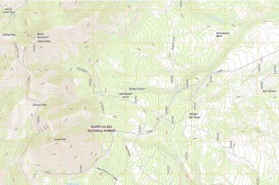
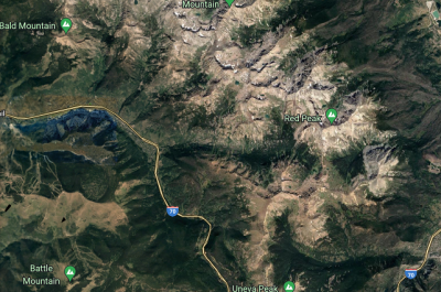
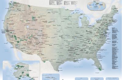
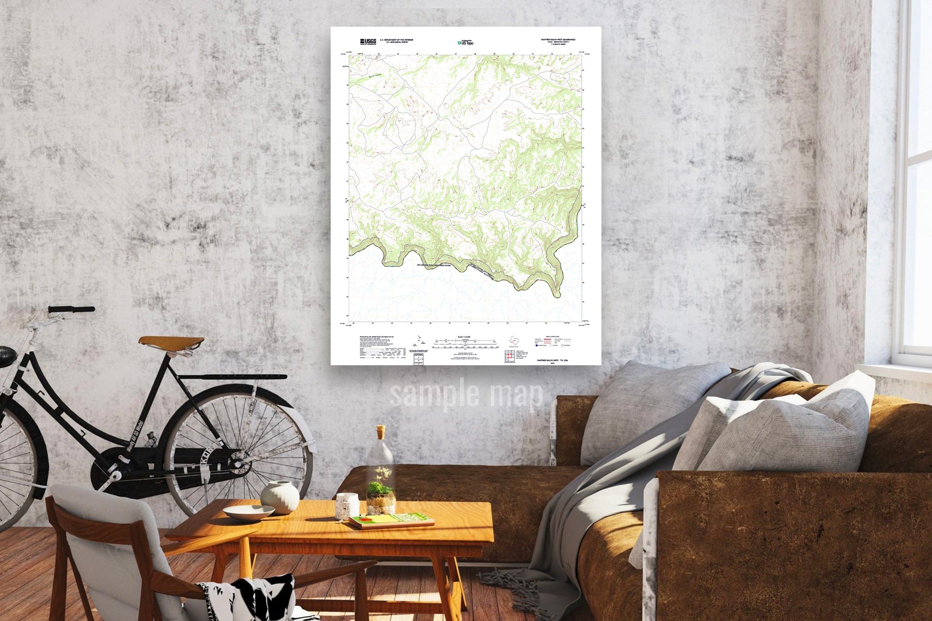
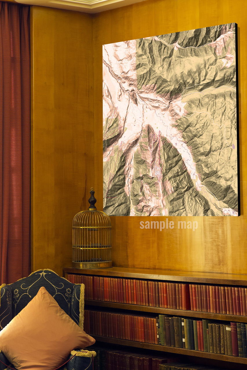
Topographical Map:
Topographical Maps (also known as Topo maps) are widely characterized by their representation of geographical features using contour lines that show the curvature and elevation of the Earth’s surface. Their purpose is not to show photo-realistic colors or textures. They may also show other features either natural or manmade, such as rails, railroads, boundaries, or mountain, streams, lakes, etc. They can be used for hikers to determine what their desired route might be, but they are also used by architects, scientists, or other professionals for information about a vast landscape.
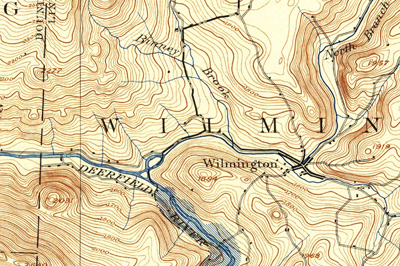
USGS (United States Geological Survey):
Many of our maps come from USGS, or the United States Geological Survey. Tasked with creating maps in 1879, the USGS is still the foremost agency in mapping the United States today. Their mission statement is “to provide National topographic information to advance science, support government, enlighten citizens, and enable decision making”. US Topo maps are updated on a three-year production cycle.
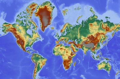
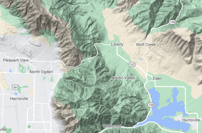
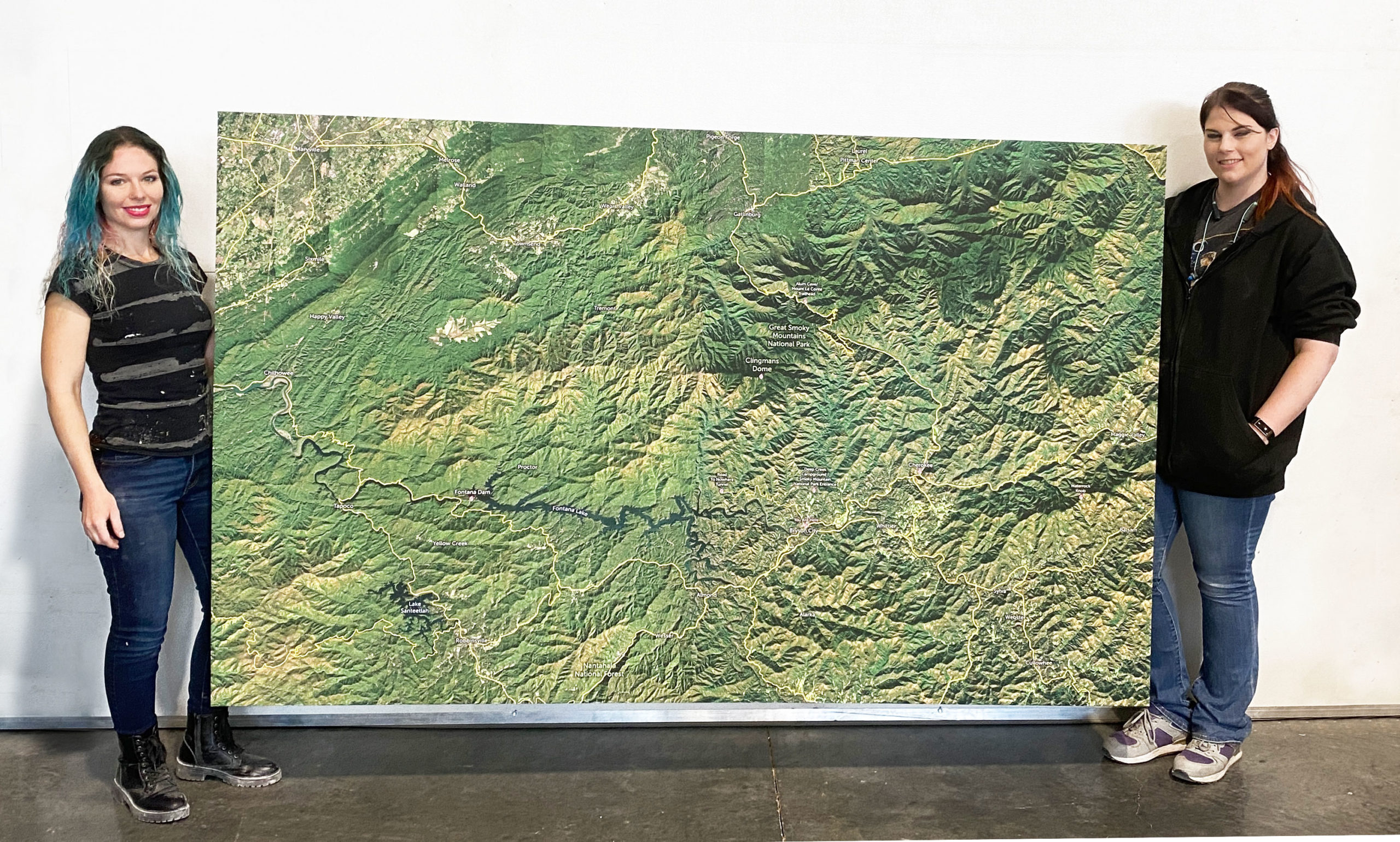
Terrain (Physical) Maps:
The terrain style, or ‘relief mapping’ is a style meant to show the natural physical features of an area, including specifics such as height, depth, and shape. These features often include mountains, rivers, lakes and more. If you can see something on the face of the land, a physical map is meant to identify it. This style does not show photo-realistic colors or textures but is meant to show elevation details such as hills, ridges, valleys, saddles, and depressions along with bodies of water. Occasionally different altitudes are represented through different color schemes. The focus is to represent geography as accurately as possible, allowing map readers to understand the layout of the land. A pivotal feature to all maps, a key should be provided explaining what any symbols or colors might mean.
Navigational Charts:
These are maps that are specifically designed for navigation, oftentimes for ocean or air-related travel. These maps are likely to highlight certain obstacles that are meant to be avoided such as submerged rocks or high-altitude mountains. Similar to topographical or terrain maps, these charts may indicate the depth or height of these obstacles.
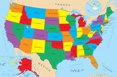
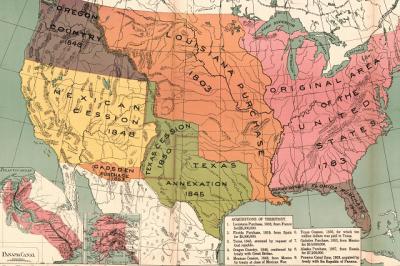
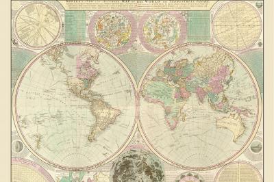
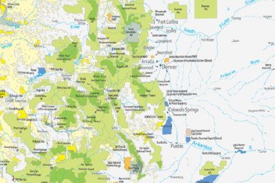
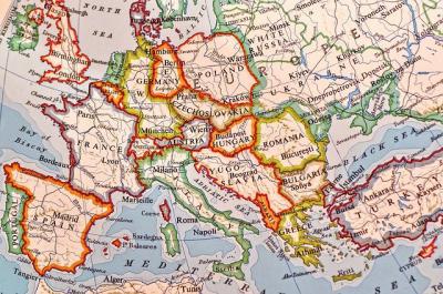
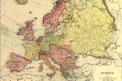
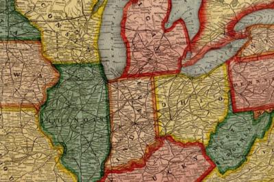
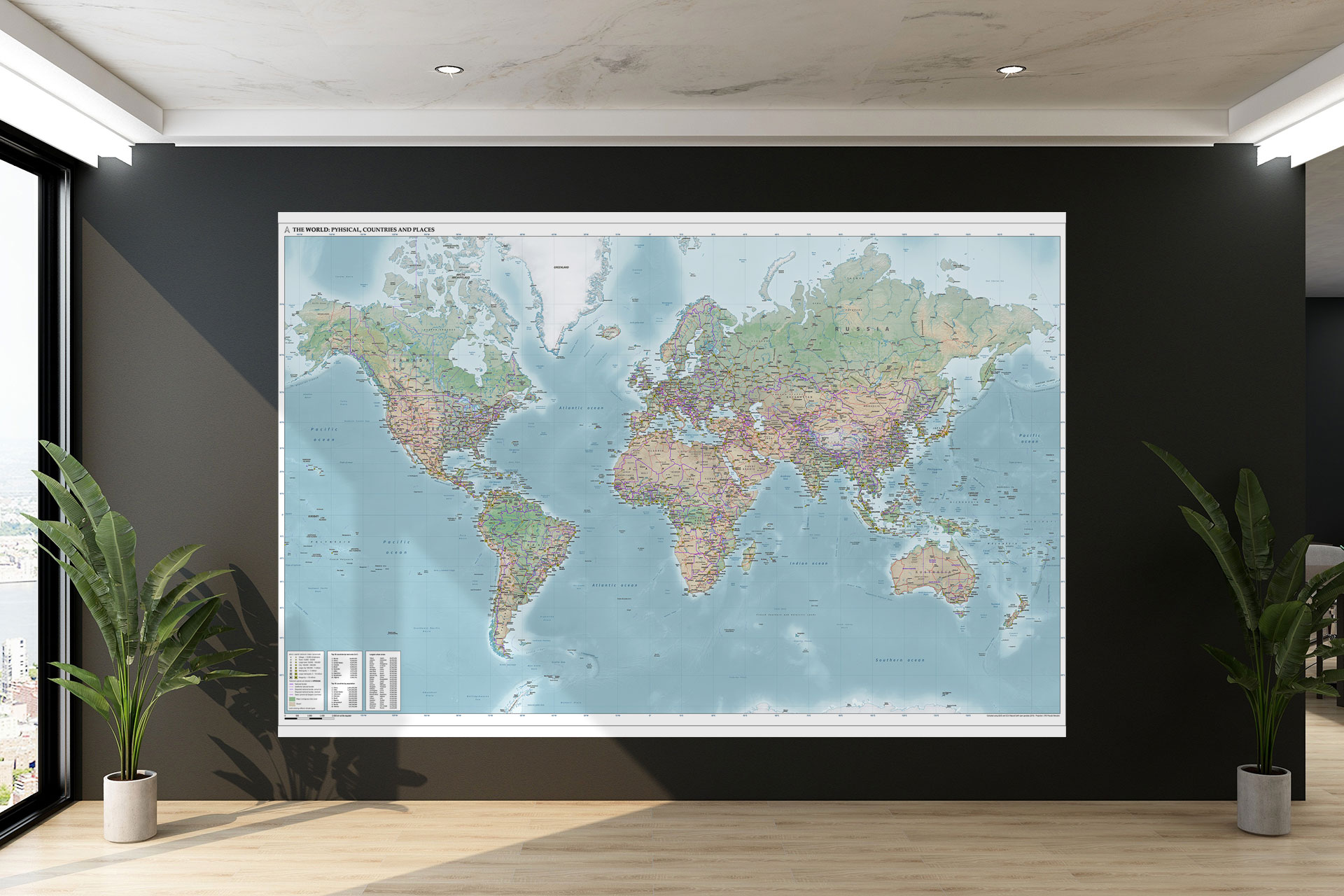
Political Map:
While physical maps provide information about a location’s natural makeup, political maps identify the man-made, invisible elements of a location. These can include a nation or state’s boundaries, cities, or territories. The most famous example might be a world map which showcases the different regions of the world. State, national park, or continent maps may fall under this category if the purpose is to outline political boundaries over geographical features.
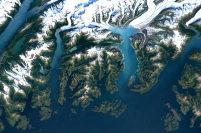
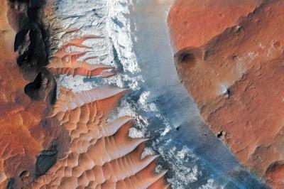
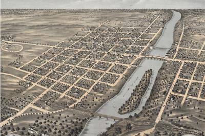
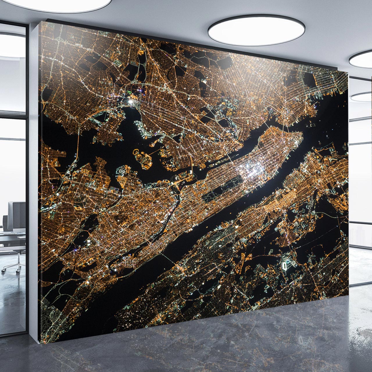
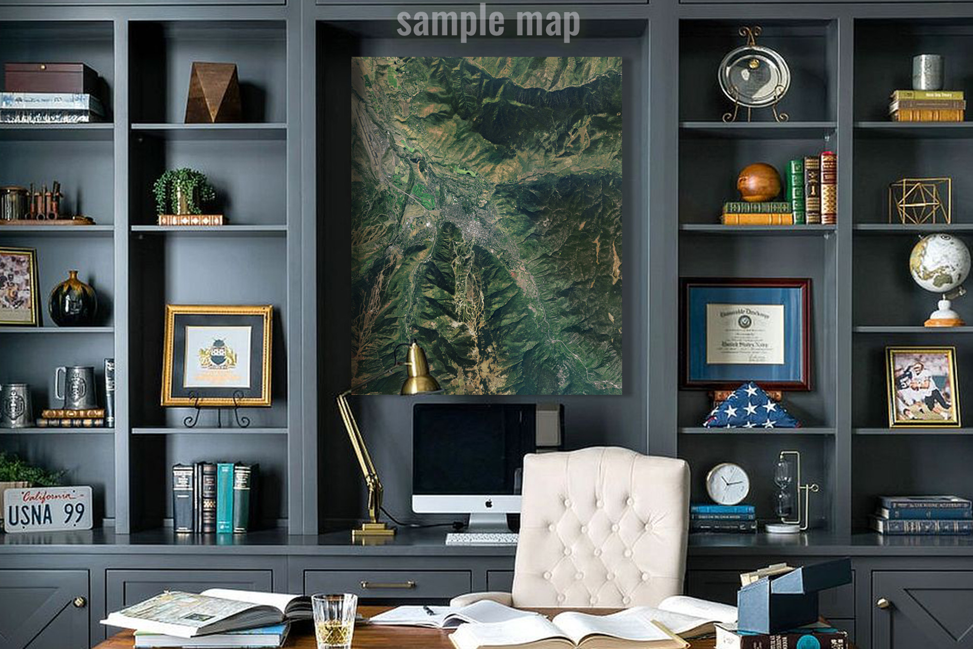
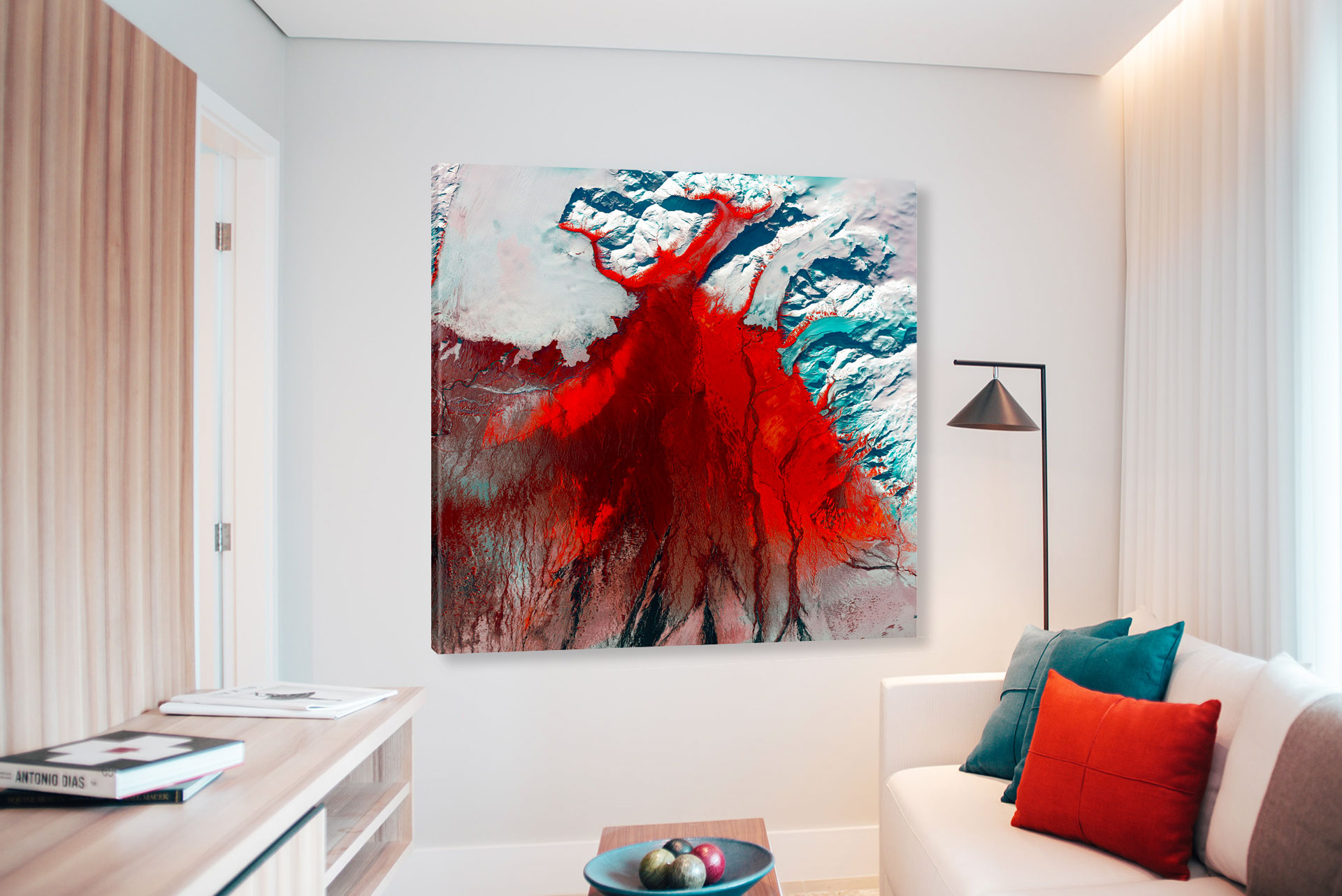
Satellite Maps:
These maps come from satellites or aircraft that hover above a specific area, taking snapshots to send down to earth. The satellite style shows how a particular site looks in real life photographic realism. These are images that show every feature of a geological landscape from the sky, ensuring accuracy with the added element of a natural beauty.
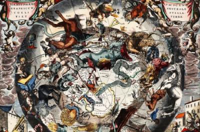
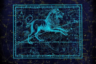
Astrological Maps:
Astrological maps chart the night sky, using stars as landmarks. There are 88 constellations recognized by the International Astronomical Union (IAU), many of which serve as natural compass points for navigation. Anciently, they were also used to determine times in seasons, as the location of constellations change dependent upon the orbit of the earth around the sun. Many find it an enjoyable activity to find constellations from a nearby location with clear skies. Additionally, constellations are the basis for the increasingly popular 12 Zodiac signs. These 12 Zodiacs are famous throughout the world, particularly in Asian cultures. One can be associated with a specific zodiac when born between specific dates that can be associated with certain traits, and may even be used for fortune-telling. For example, those born between March 21 to April 19 are associated with the Aries constellation.