
Carmel River Watershed Raised-Relief Map
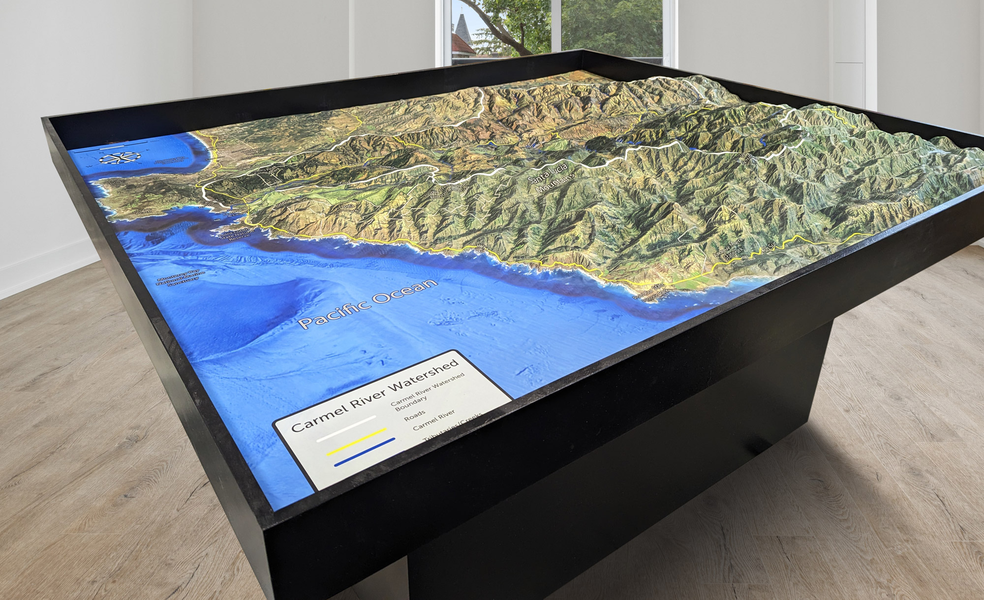
WhiteClouds produced a 72-by-84-inch raised-relief map of the Carmel River Watershed for the Monterey Peninsula Regional Park District, including a 30-inch pedestal and a drain system for water-flow demonstrations.
- Organization
- Monterey Peninsula Regional Park District
- Mapped Area
- Carmel River Watershed
- Map Size
- 72 x 84 inches
- Pedestal Height
- 30 inches
- Demonstration Feature
- Water drain and hose
The Monterey Peninsula Regional Park District uses this 72-by-84-inch map to present the Carmel River Watershed as both visible terrain and a working water-flow demonstration. WhiteClouds 3D printed the landform, applied hybrid satellite imagery, and integrated the map with a 30-inch pedestal and a drain system that routes demonstration water into a bucket below.
Six by seven feet of connected terrain
The physical surface shows the watershed from inland elevations to the Pacific coast. Raised ridges, drainage routes, developed areas, roads, vegetation, and the shoreline can be examined together within the 42-square-foot map.
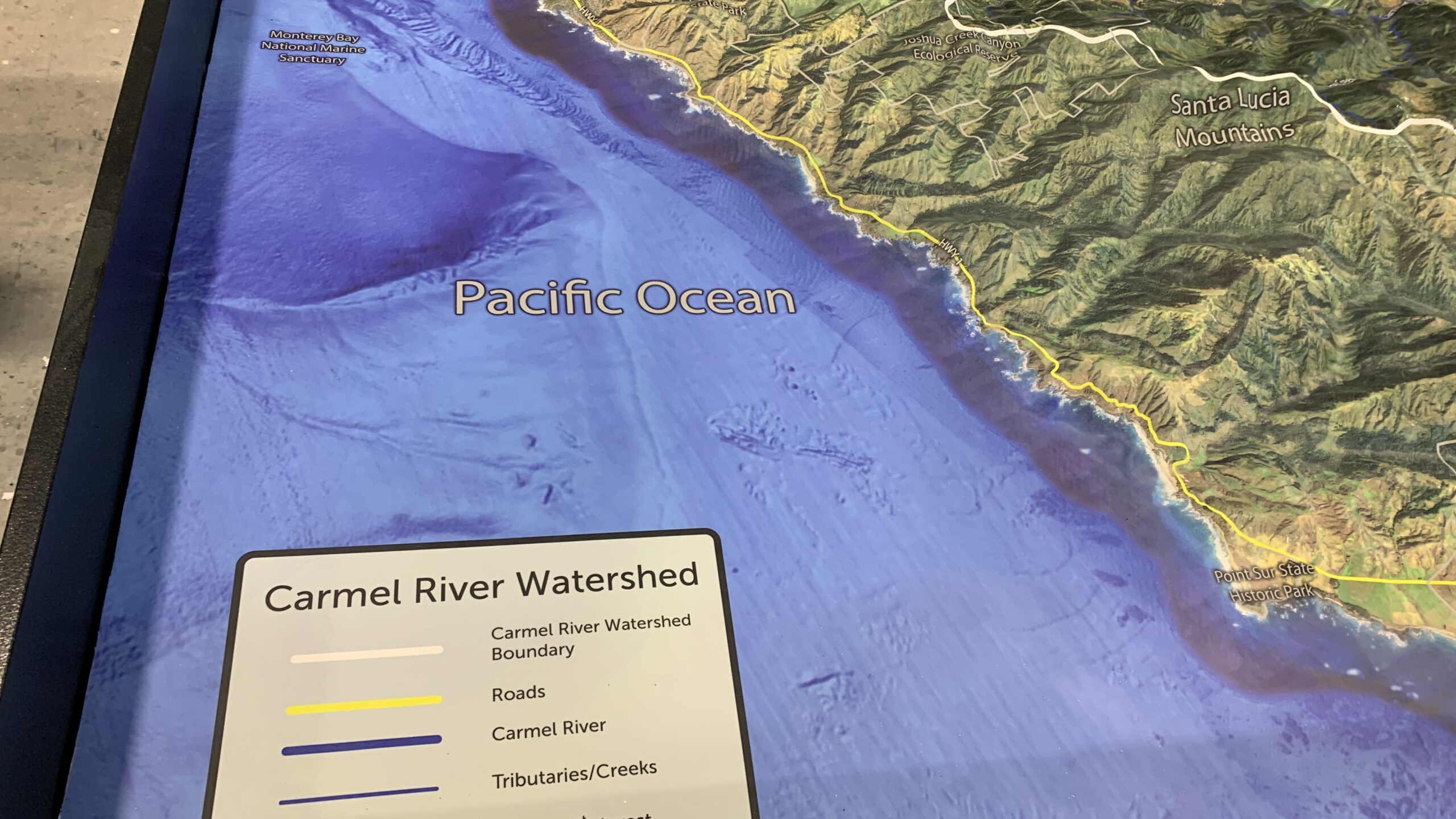
Hybrid satellite imagery supplies recognizable land cover and reference detail across the changing elevation. A labeled legend identifies the Carmel River Watershed and major surface categories beside the model.
Drainage designed into the terrain display
Water can be poured onto the model to demonstrate how it travels through the watershed. Special drain openings carry the liquid through a hose and into a collection bucket below the display.
The map surface was protected with a matte hard-coat finish for exposure to liquid, stains, and ultraviolet light. This treatment supports repeated water-flow demonstrations on the installation.
3D-printed terrain fitted to accessible cabinetry
WhiteClouds created the terrain with 3D printing, then integrated the mapped surface with the custom pedestal. The 30-inch base places the model at an accessible viewing height and contains the water-management components below.
Planning a similar educational map requires terrain and imagery data, the watershed or study boundary, labels, demonstration method, water collection plan, accessibility requirements, cabinetry dimensions, delivery access, and installation location.
Planning an educational watershed model?
Share the mapped boundary, terrain and imagery sources, labels, demonstration requirements, accessibility needs, cabinetry, destination, and schedule.