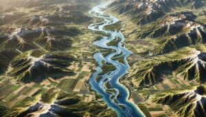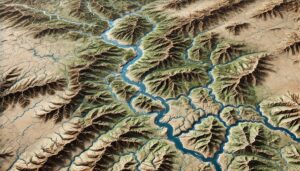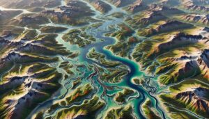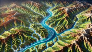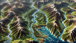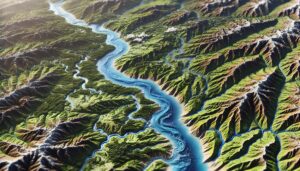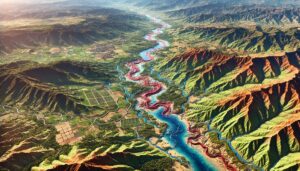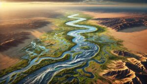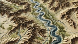
Minnesota Watershed Maps
Dive into Minnesota’s vast network of watersheds, from the Great Lakes to major rivers, and discover how advanced 3D mapping technology is reshaping water management. These detailed maps help protect water quality, manage flooding, and conserve ecosystems, ensuring sustainable solutions for agriculture, industry, and recreation across the state.