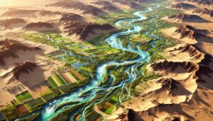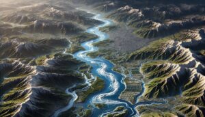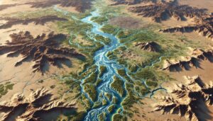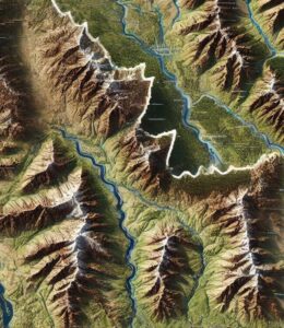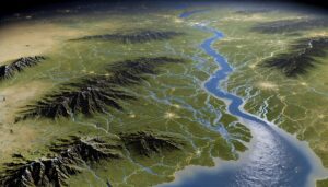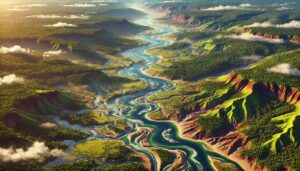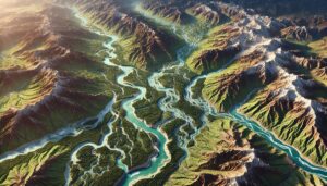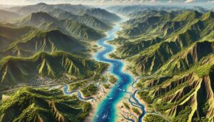
Sao Tome and Principe Watershed Maps
Sao Tome and Principe’s watersheds, such as the Ribeira Peixe and Ribeira Contador River Basins, are essential for agriculture and ecosystems. Learn how modern technologies like 3D mapping, GIS, and remote sensing help manage these systems, ensuring sustainable water use and addressing challenges like water scarcity, climate change, and growing population demands.