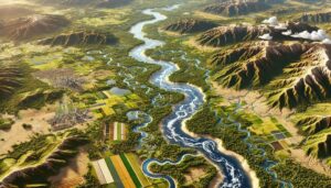
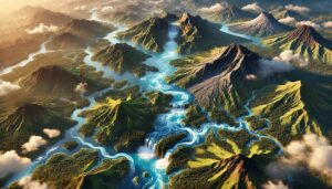
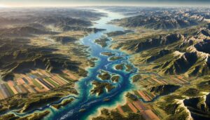
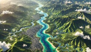
Eritrea Watershed Maps
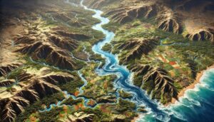
Eritrea’s watershed maps are vital for managing river systems, predicting floods, and ensuring sustainable water use. These maps guide water allocation for agriculture, industry, and communities while addressing climate change challenges. By monitoring river flow, groundwater levels, and water quality, they support flood prevention, efficient water distribution, and ecosystem protection, ensuring that Eritrea’s water resources are preserved for future generations.