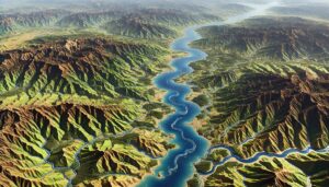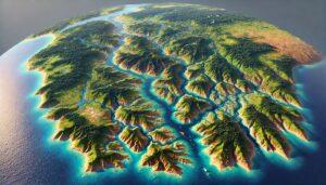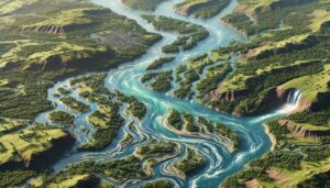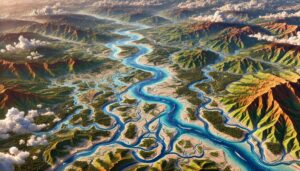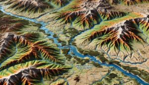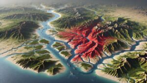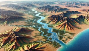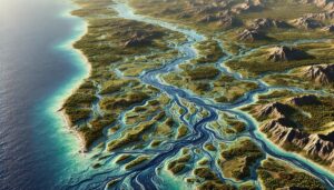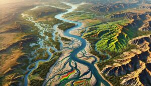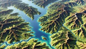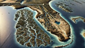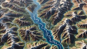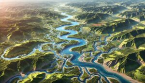
La Plata River Basin Watershed Map
Dive into the La Plata River Basin, a vital South American watershed. Discover its dynamic rivers, ecosystems, and the cutting-edge 3D mapping technology helping manage this critical water system for future sustainability and environmental protection.