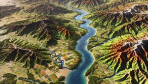
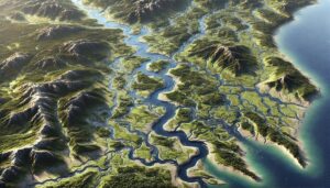
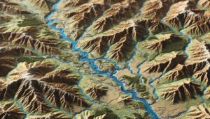
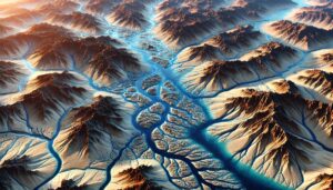
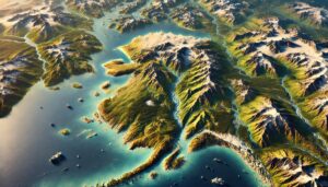
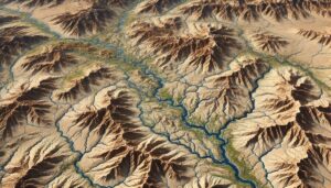
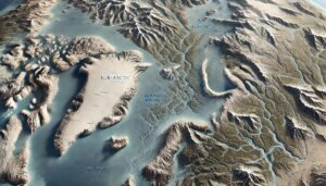
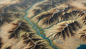
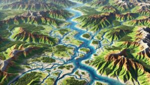
Hudson Bay Basin Watershed Map
Dive into the Hudson Bay Basin, a vast and vital water system in northern Canada. Discover how advanced 3D mapping technologies help manage its rivers, ecosystems, and water resources. Explore its unique biodiversity, seasonal dynamics, and the critical role it plays in shaping the environment, supporting communities, and adapting to climate change in the Arctic.