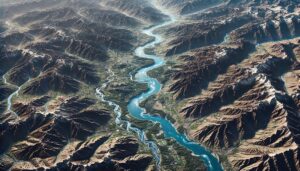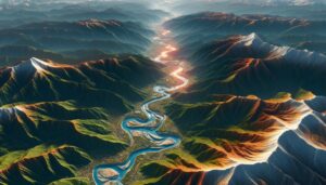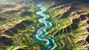
Syria Watershed Maps
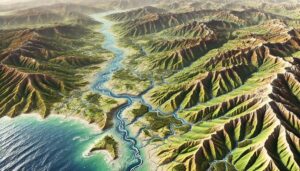
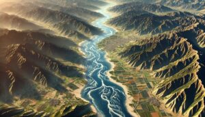
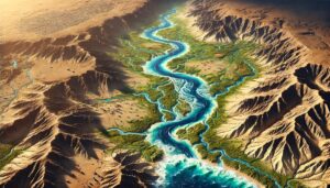
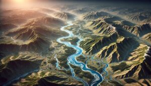
Syria’s watersheds, including the Euphrates, Orontes, and Tigris River Basins, are vital for agriculture and ecosystems. Learn how modern technologies like 3D mapping, GIS, and remote sensing help manage these systems. These technologies help track seasonal water flow changes, optimize water distribution, and address challenges such as water scarcity, climate change, and geopolitical tensions, ensuring sustainable water use for Syria’s population.