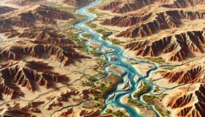
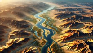
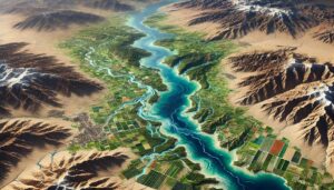
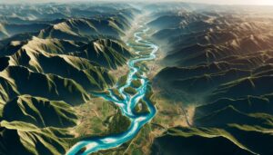
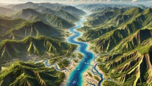
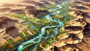
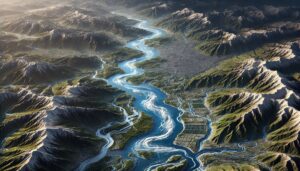
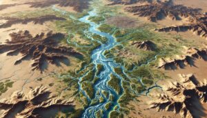
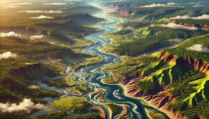
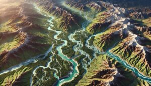
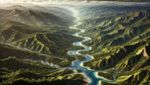
Tunisia Watershed Maps
Tunisia’s watersheds, including the Medjerda, Oued Miliane, and Oued Zarga River Basins, are essential for agriculture and ecosystems. Learn how modern technologies like 3D mapping, GIS, and remote sensing help manage these systems, ensuring sustainable water use and addressing challenges like water scarcity, climate change, and population growth.