Houston Topo Map
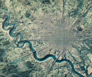
Discover Houston’s unique blend of urban sprawl and bayou networks with detailed topo maps. Explore how 2D and 3D maps are crafted to capture the city’s flat terrain, flood zones, and green spaces. Perfect for planners, conservationists, and adventurers, these maps unlock the dynamic geography of the Bayou City, revealing its interplay of natural and urban landscapes like never before.