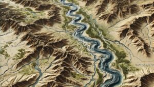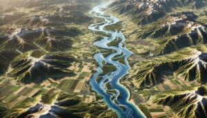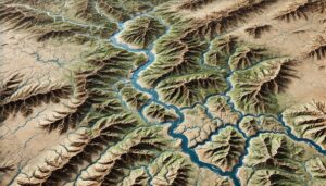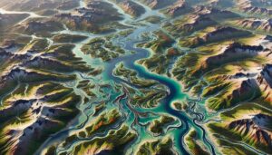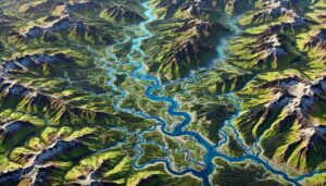
Willamette River Watershed Map
Discover the Willamette River Watershed, a vital ecosystem in Oregon. Learn how 3D mapping technology enhances water management, flood prediction, and conservation. Explore its crucial role in supporting biodiversity, maintaining water quality, and ensuring the sustainability of this essential river system for local communities and the environment.