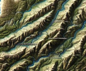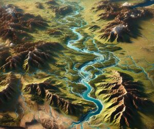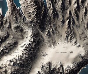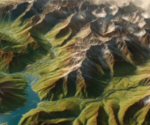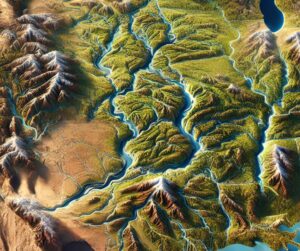
Arkansas River Watershed Map
Discover the vast Arkansas River Watershed, spanning six states and supporting diverse ecosystems, agriculture, and industry. Explore how detailed maps, including stunning 3D models, reveal its complex hydrology, flood management strategies, and ecological significance. Uncover the artistry behind 3D map fabrication, bringing this essential river system to life in a way that educates and inspires.